River Caves Canyon
Current trail weather
4° Clear sky
- Today 9° 3° 100%
- Mon 12° 4°
- Tue 12° 5° 1%
- Wed 11° 3° 4%
- Thu 10° 4° 14%
Details
The River caves canyon is located just north of Newnes plateau and south of the Wollemi national park. You will require a 4wd to get to the trailhead, especially when it is wet. Alternatively, if you’re game if you drive carefully you can get a 2wd in a fair amount of the way. The start of the dirt track in begins at the zig zag railway onto old bells line of Rd(a dirt road). Follow this road until a T-intersection where you turn right onto glowworm tunnel Rd(8.7km). Follow this Road until you reach Deep Pass Trail on your right(11.4km). Take your 2nd left into Mount Cameron Trail(640m). Then take your 2nd right onto Mount Cameron Trail(560m). Follow Mount Cameron Trail until you reach the trailhead(5.2km) where you will hit a dead end with room to park.
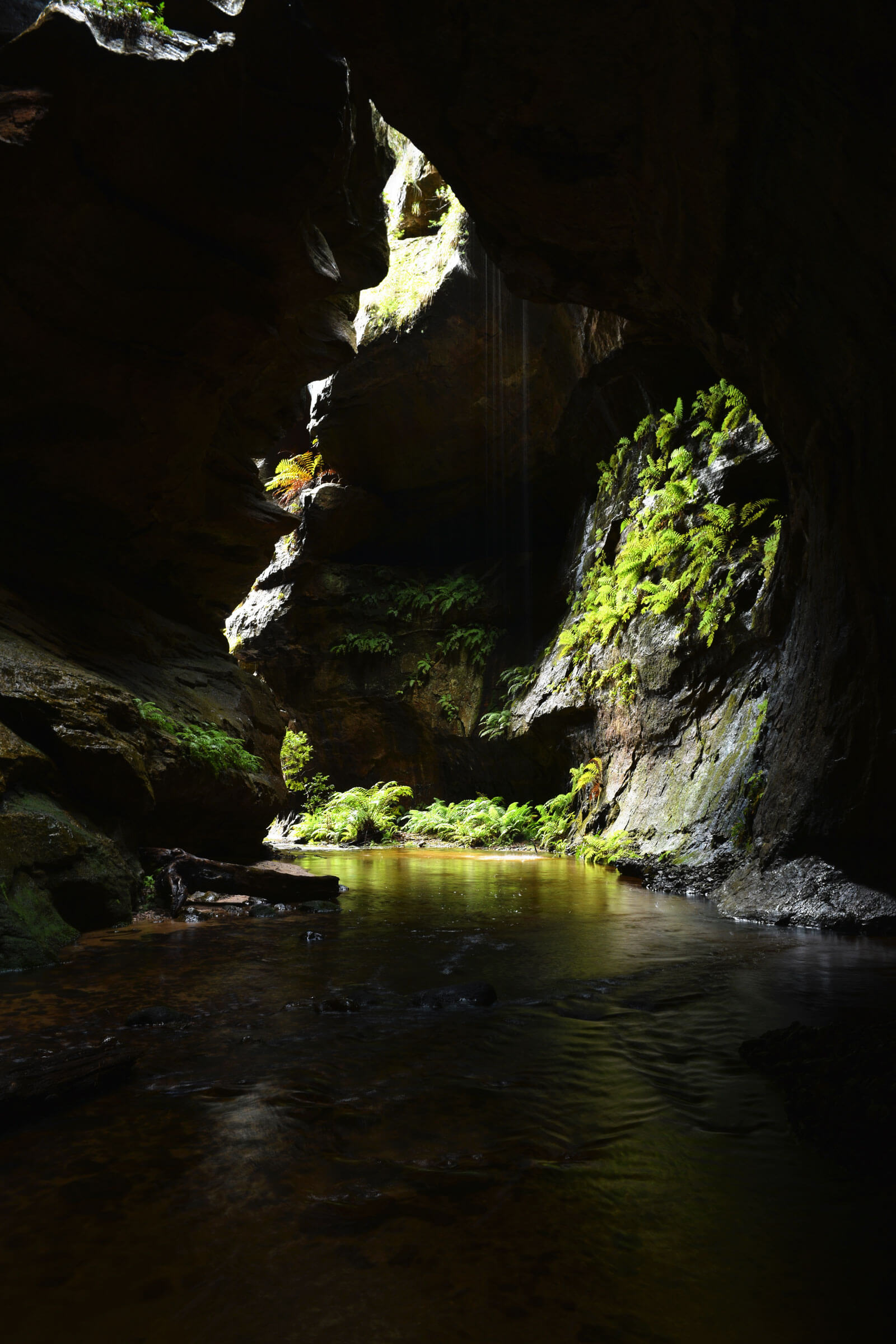
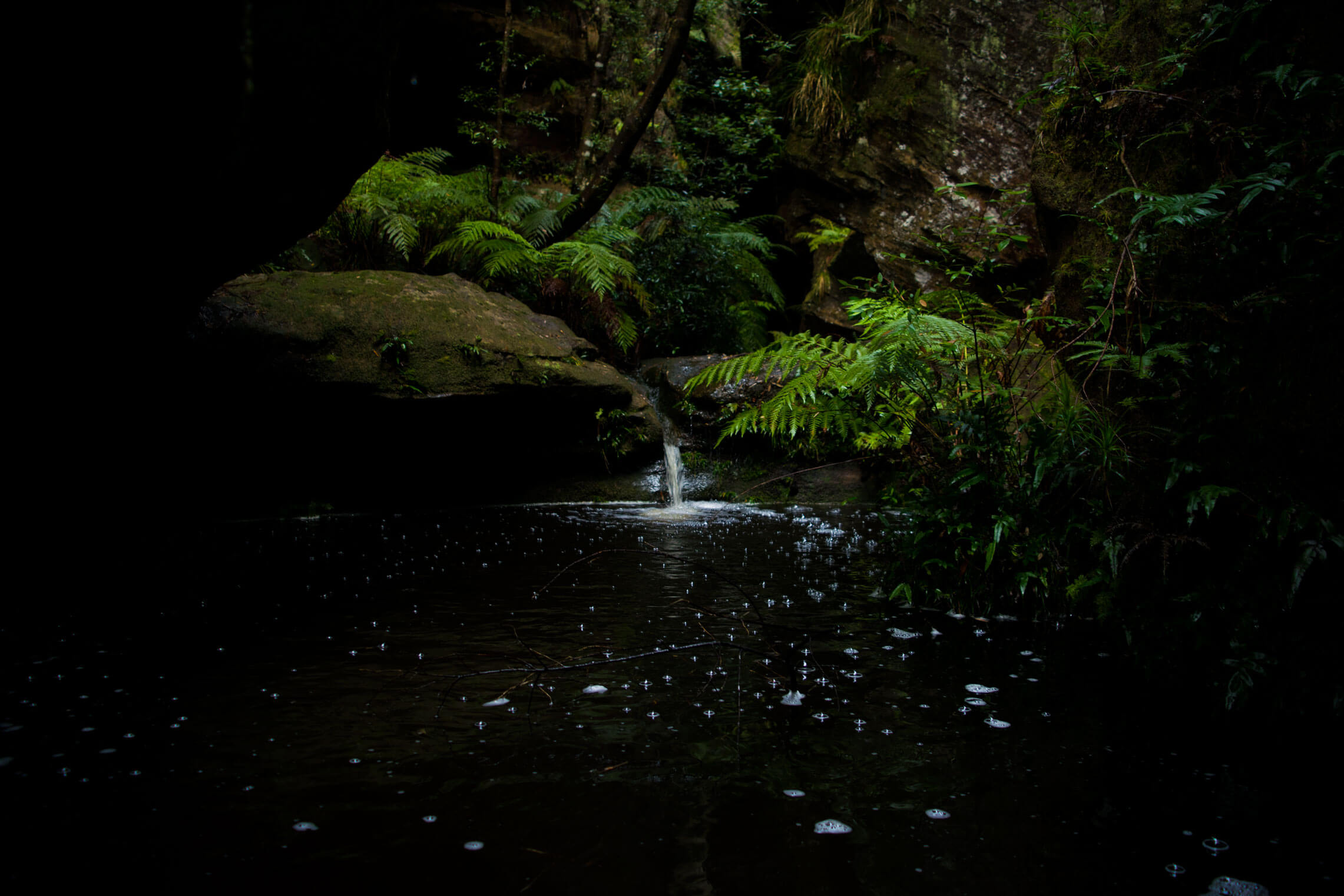
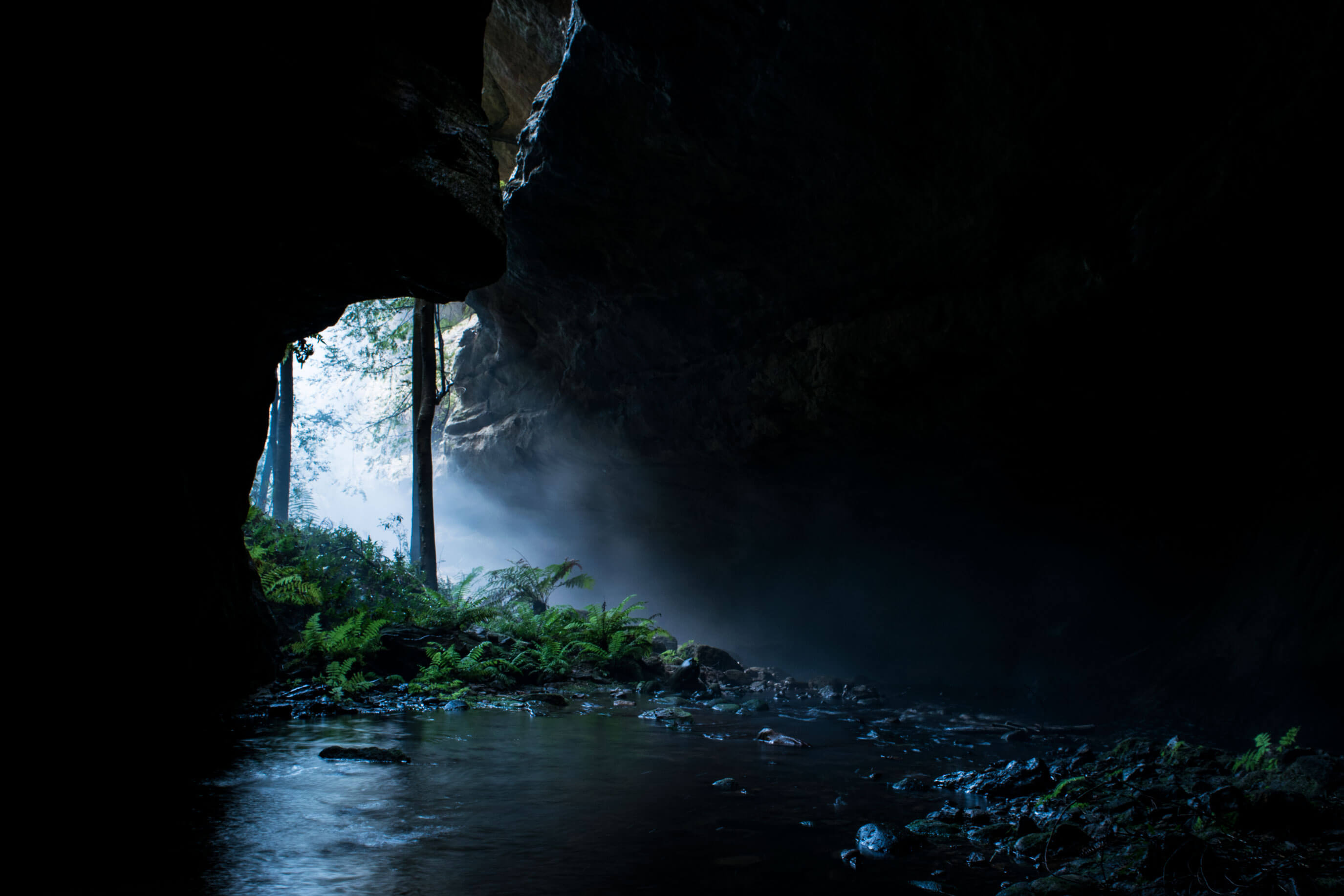
You will see a metal sign with “Wollemi wilderness walkers only” written on it. This marks the start of the River caves canyon walk down to Budgary creek. Follow the trail for 300 meters where you will notice a trail off to your left that starts the descent. This downhill trail will take you all the way down to the canyon, once you reach the water you’ve reached the starting point. From the water take your left and head upstream into river caves canyon.
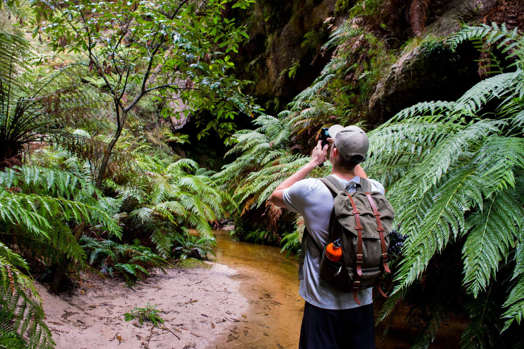
There is no clear path the take-up through the canyon as most of the walking is done through the water. Take your time and be cautious climbing over slippery rocks due to the damp environment. You will be getting wet along the way, not completely submerged but wet enough to consider taking a dry change of clothes. For foot ware we suggest getting some water/aqua shoes, otherwise an old pair of joggers will do. It is wise to leave your dry shows are the start of the canyon and put them back on when you get back. Since the river caves canyon isn’t a loop you will be coming back to where you started.
The Canyon is fairly remote so make sure to take emergency equipment. Such as first aid, beacon(PLB) and a thermal blanket(in winter).
What to take:
-
- – Change of Dry clothes
- – Water/aqua shoes
- – Towel
- – Water and food
- – First aid
- – Waterproof bag for electronics
- Track distance
- 3.03 km
- Ascent
- 179 m
- Steepness
- Moderate (59.1 m/km)
- Descent
- 179 m
- Elevation range
- 837–987 m
Map data: © OpenStreetMap contributors, SRTM | Map style: © OpenTopoMap (CC-BY-SA) · MapLibre GL JS
Elevation profile
Sign in to share recent conditions, contribute a photo, or upload a GPX/GeoJSON route.


I just returned from walking this track today. We used a GPS to follow the trail and found our way there and back to the car perfectly fine. There are a couple of mistakes in your description. The first one is quite worrying. You wrote: “Follow the trail for 300 meters where you will notice a trail off to your right that starts the decent” but in fact it is the trail TO THE LEFT that leads to this canyon. Also, contrary to your information, the track can indeed be walked as a loop since there is a steep but shorter track at the end of the canyon that leads back to the road.
Finally descent is spelt with a c.
I just returned from the canyon today. The trail – which is to the left off the saddle – has been affected by recent bushfires, and with new growth and fallen trees, it’s very difficult to follow. Recent heavy rains have also eroded the track at some points, making footing a little uncertain. A number of slippery rock surfaces have been exposed on the trail as a result of the rains. The new growth after the fires means that it’s often difficult to see where you’re putting your feet. At the moment, I certainly wouldn’t recommend taking children on this walk. Take your time in getting to the canyon entrance, as the trail will appear to disappear at some points.