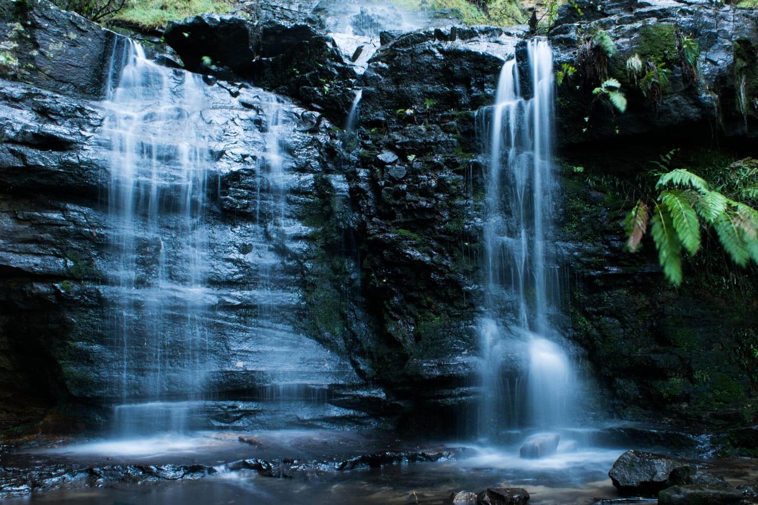





Fairy Bower Falls
Current trail weather
2° Partly cloudy
- Today 14° 1°
- Fri 17° 5°
- Sat 20° 7° 4%
- Sun 21° 9° 2%
- Mon 24° 11° 2%
Details

Getting there
The Fairy Bower Falls are located in Bundanoon within the Moreton National Park. To find the track you need to enter the National Park (Not forgetting to get a $7 park pass for the day) passing Gambells Rest carpark. Follow the road until you reach the next junction that allows you to turn left (Nicholas Pass) . This will be a one-way track that will take you past the Grand Canyon Lookout, which provides views of the valley below. Continue this road around until you reach the Fairy Bower falls Carpark. Parking is unmarked and the roads are unsealed but are able to be accessed in all vehicle types.
Fairy Bower falls walk
The Fairy Bower falls walk takes just under an hour return at a leisurely pace, which is needed for the climb back to the car park. The decent is very steep however the walk itself is not very long. It is strongly advised to take a bottle of water for the trip, even in the colder months. The path will lead you down to some small streams which lead to top of waterfall. As you continue to follow the path you will be lead to a viewing platform of the valley below and allows for you to get a photo at the drop off of the waterfall. If you make your way down the track further it will lead you to the base of the falls.
Vines hang beside the falls with water trickling from them, making for a majestic atmosphere. While looking up at these vines you will notice an old stairwell that once directly took you to the lookouts you were once standing at. When you think you may have reached the end if you look to your left you will notice a little grated stairwell that will lead to you the final level of the falls. Moss covered rocks that are surrounded by trees make you feel as though you are in a set of a movie. Whether you want to stand under the falls, walk in the water or explore over the rocks, these falls offer it all.
Returning home
To return back to the car park you need to return the same way, it is well worth the walk. If you were looking at making the walk into a full day walk you can do so by starting at Tooths Lookout Lay-by. This walk will take you roughly 4 hours to complete and is a circuit of 5.2kms. This will take you past many beautiful sites such as the Amphitheatre, Bundanoon Creek, Fairy Bower Creek and will lead you to the Falls. There are no toilet facilities along any of these walks, they are located back at Gambell Rest.
- Track distance
- 2.17 km
- Ascent
- 219 m
- Steepness
- Very steep (100.9 m/km)
- Descent
- 219 m
- Elevation range
- 521–616 m
Map data: © OpenStreetMap contributors, SRTM | Map style: © OpenTopoMap (CC-BY-SA) · MapLibre GL JS
Elevation profile
Sign in to share recent conditions, contribute a photo, or upload a GPX/GeoJSON route.
 Budderoo, NSW


Walk reviews
No reviews yet.
Sign in to leave a review for this walk.
Recent reviews
No written reviews yet. Be the first to share your experience.