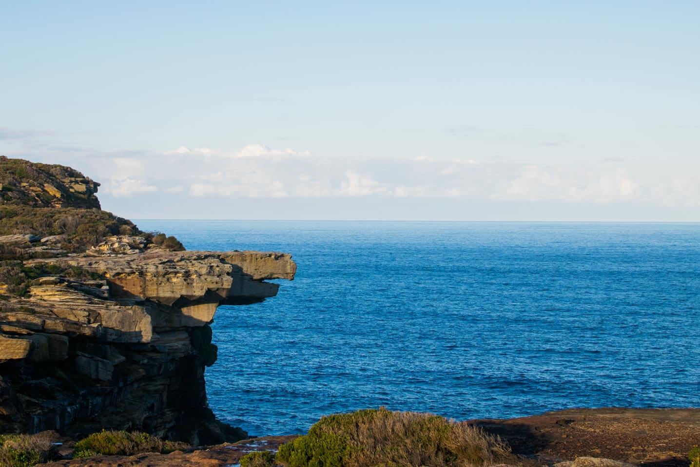





Eagle Head Rock
Current trail weather
19° Partly cloudy
- Today 19° 13° 80%
- Sat 19° 13° 57%
- Sun 20° 13° 59%
- Mon 21° 12° 69%
- Tue 22° 13° 61%
Details

Starting the hike to Eagle head Rock
There are a couple of ways you can start the walk to Eagle head rock, the fastest most scenic route starts at the Wattamolla picnic area. Also note that parking here inures park use fees of $12 per vehicle per day. Unless you have an annual parks pass. From the car park head south, you will find a few paths that all converge onto the same track. The track you’re looking for is sign posted as the coastal track. If you are struggling to find the start of the track, there is a gated fire trail at the top of the multi stage car park, following this will also lead you onto the trail to Eagle head Rock.
As the name suggests the coastal track follows the coast line above the cliffs. This route makes for a awesome opportunity to spot for whales from September through November as they head south. The Walk isn’t overly difficult, it is more often than not, flat, but has the occasional hill. On your way, we would highly recommend stopping off at Curracurrang Falls, a spectacular hidden waterfall and swimming hole. Which is about 2 thirds of the way into the walk.
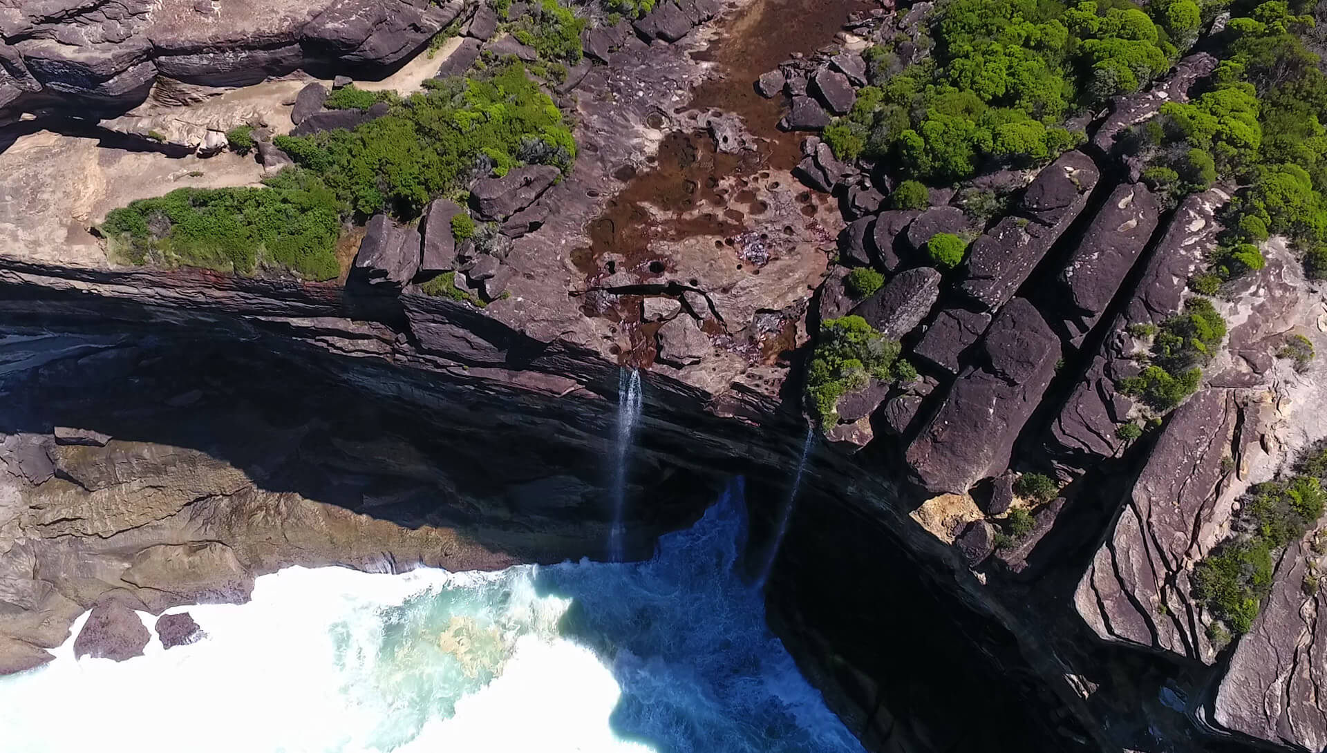
Just by Eagle head rock itself is curracurrong falls, a waterfall the feeds directly into the ocean. Curracurrong creek is a good indicator that you’ve made it to eagle head rock, as there is no signs posted or track directly to the rock. If you don’t look back at the right time on the track you can easily miss it. You will know when you’re at curracurrong creek as it is the first water you have to cross since the curracurrang falls stop.
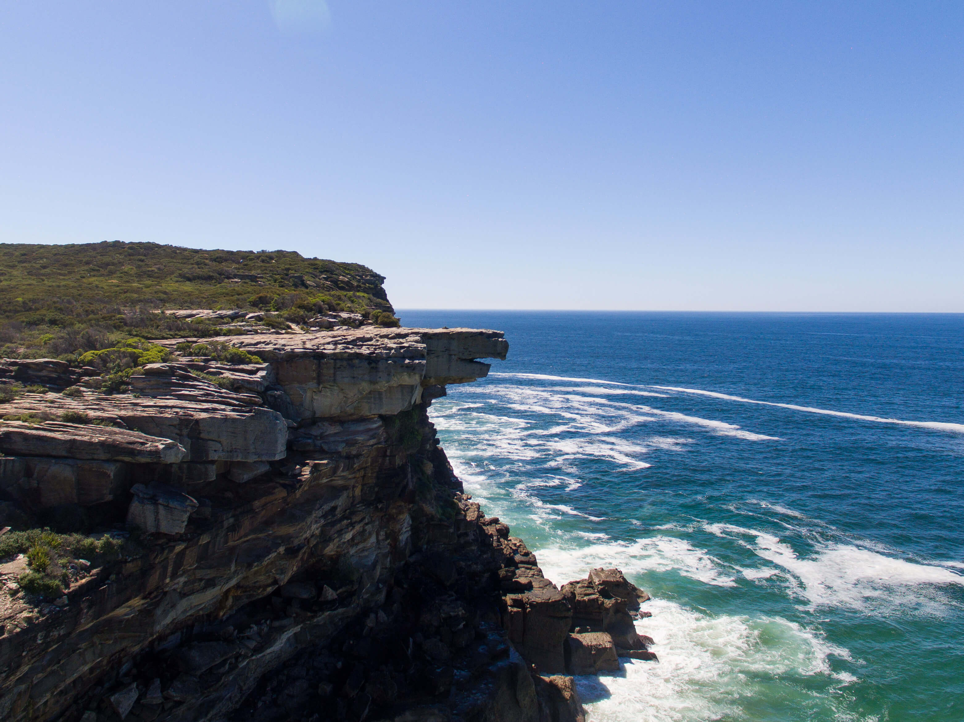
If you walk past the creek and look back north along the cliff you will get a good view of Eagle head rock itself.
- Track distance
- 8.96 km
- Ascent
- 698 m
- Steepness
- Steep (77.9 m/km)
- Descent
- 698 m
- Elevation range
- 0–60 m
Map data: © OpenStreetMap contributors, SRTM | Map style: © OpenTopoMap (CC-BY-SA) · MapLibre GL JS
Elevation profile
Sign in to share recent conditions, contribute a photo, or upload a GPX/GeoJSON route.
 Millgrove, VIC


Walk reviews
2.7 from 3 reviews
Sign in to leave a review for this walk.
Recent reviews
No written reviews yet. Be the first to share your experience.