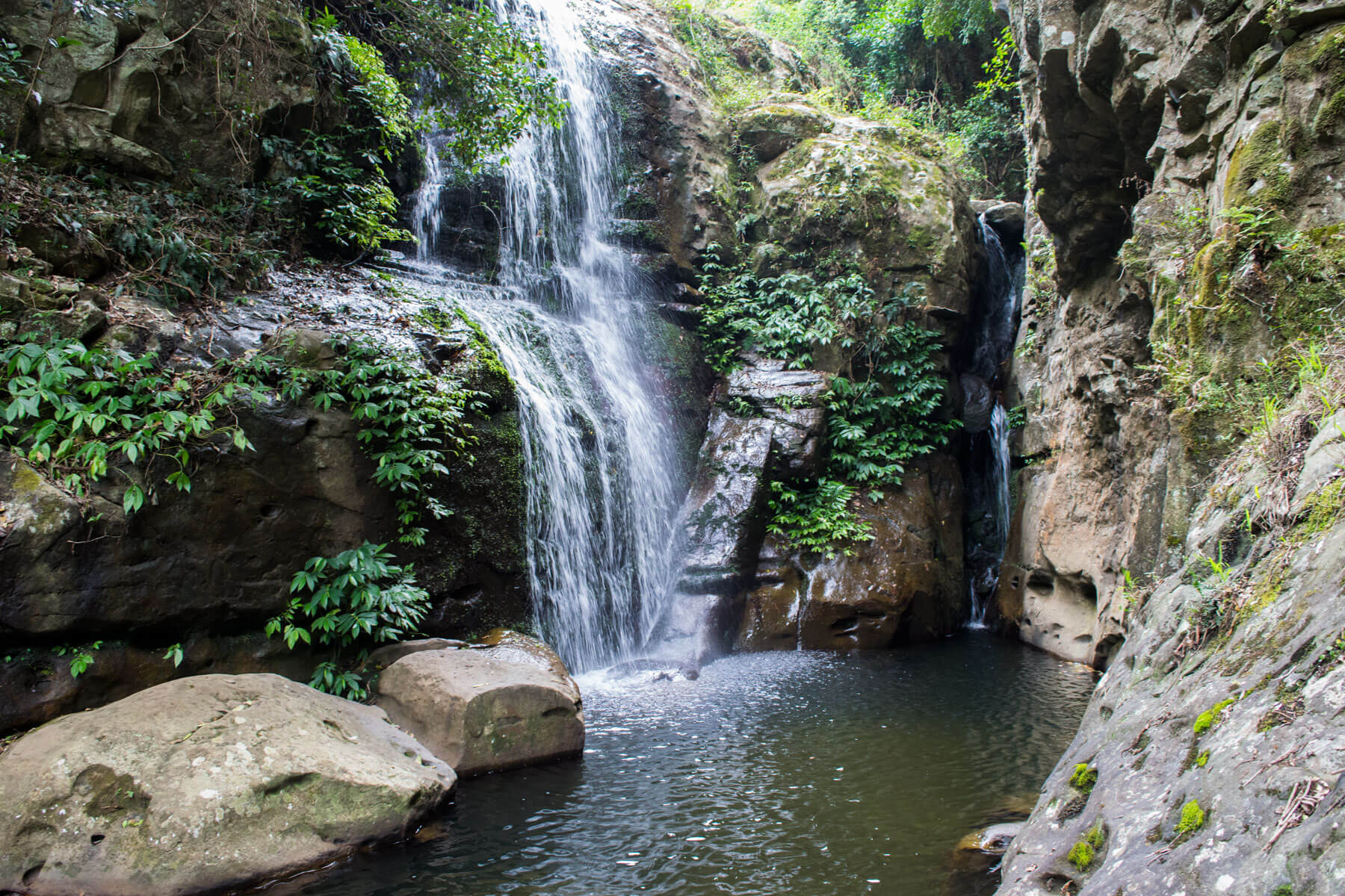





Cascades falls
Current trail weather
21° Clear sky
- Today 22° 6°
- Sat 28° 13° 94%
- Sun 24° 15° 51%
- Mon 33° 16° 33%
- Tue 20° 13° 75%
Details


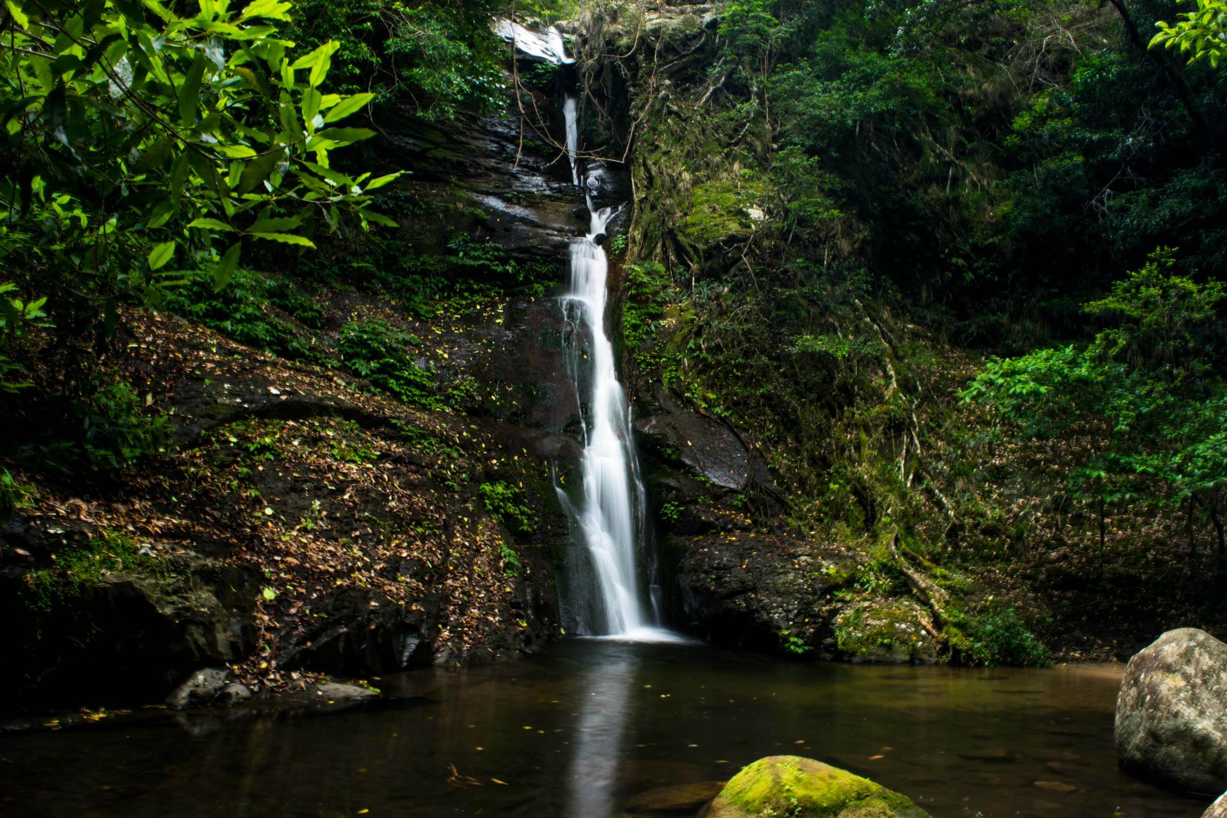
Cascade falls is located in the Macquarie Pass National Park. The beginning of the walk starts on the bottom right of the pass, if you were heading to Robertson up the pass. There is a carpark although spaces are limited, especially during the summer months. Macquarie pass can get very busy so best to get in early.
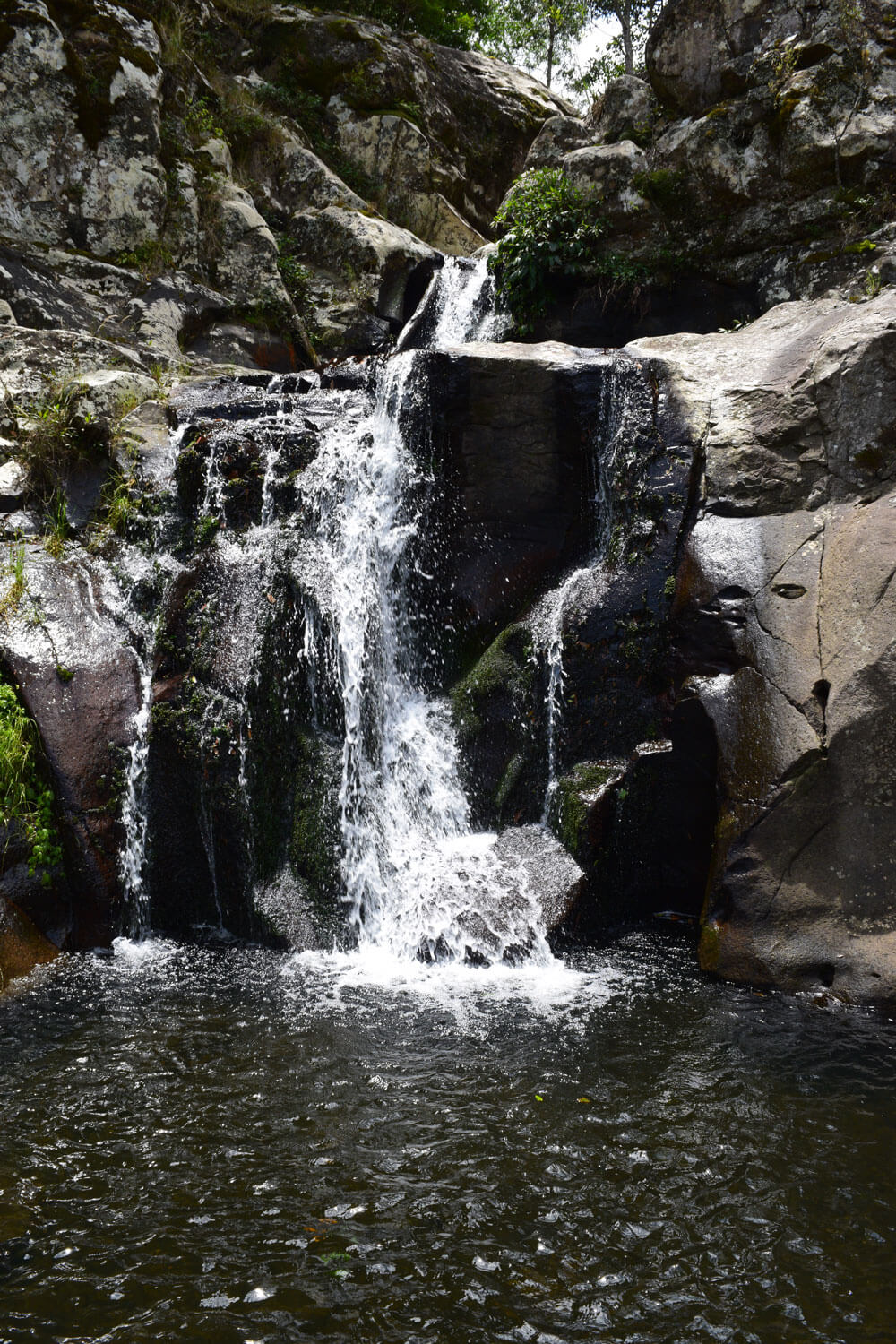
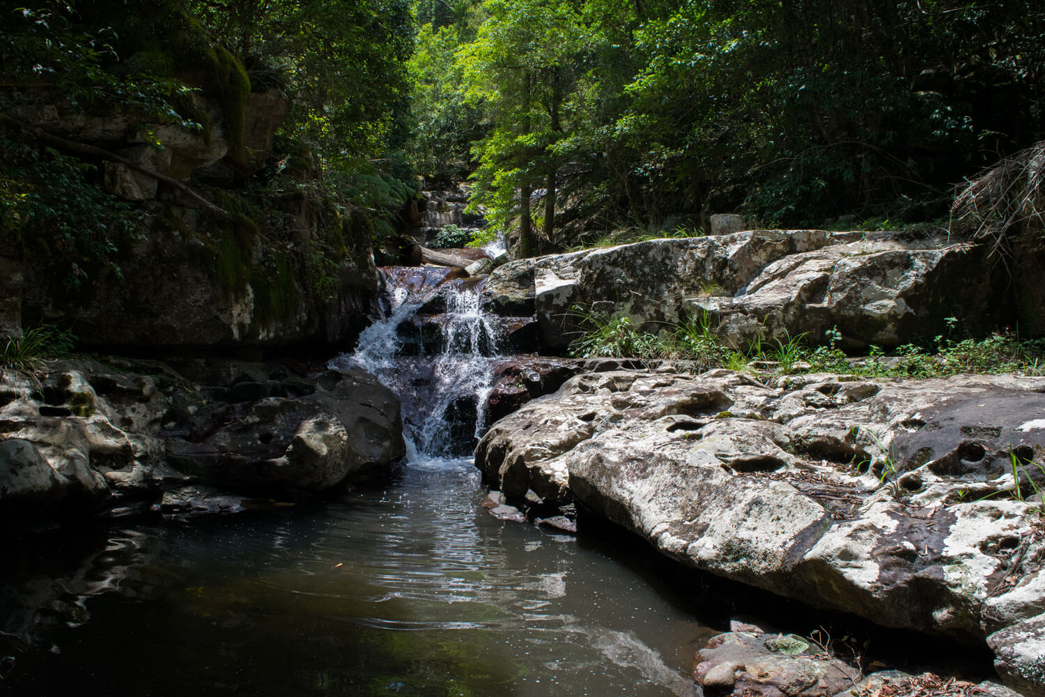
The walk begins with you following the stream that will be found on your right. There is a worn in path, even some wooden landmarks to guide you in the right direction. From here it is very easy to reach the first of the cascades. The first stop offers a lovely view of some falls with a great place to sit down on some rocks and have a snack or two. Reaching this point is very easy and does not require a great level of fitness.
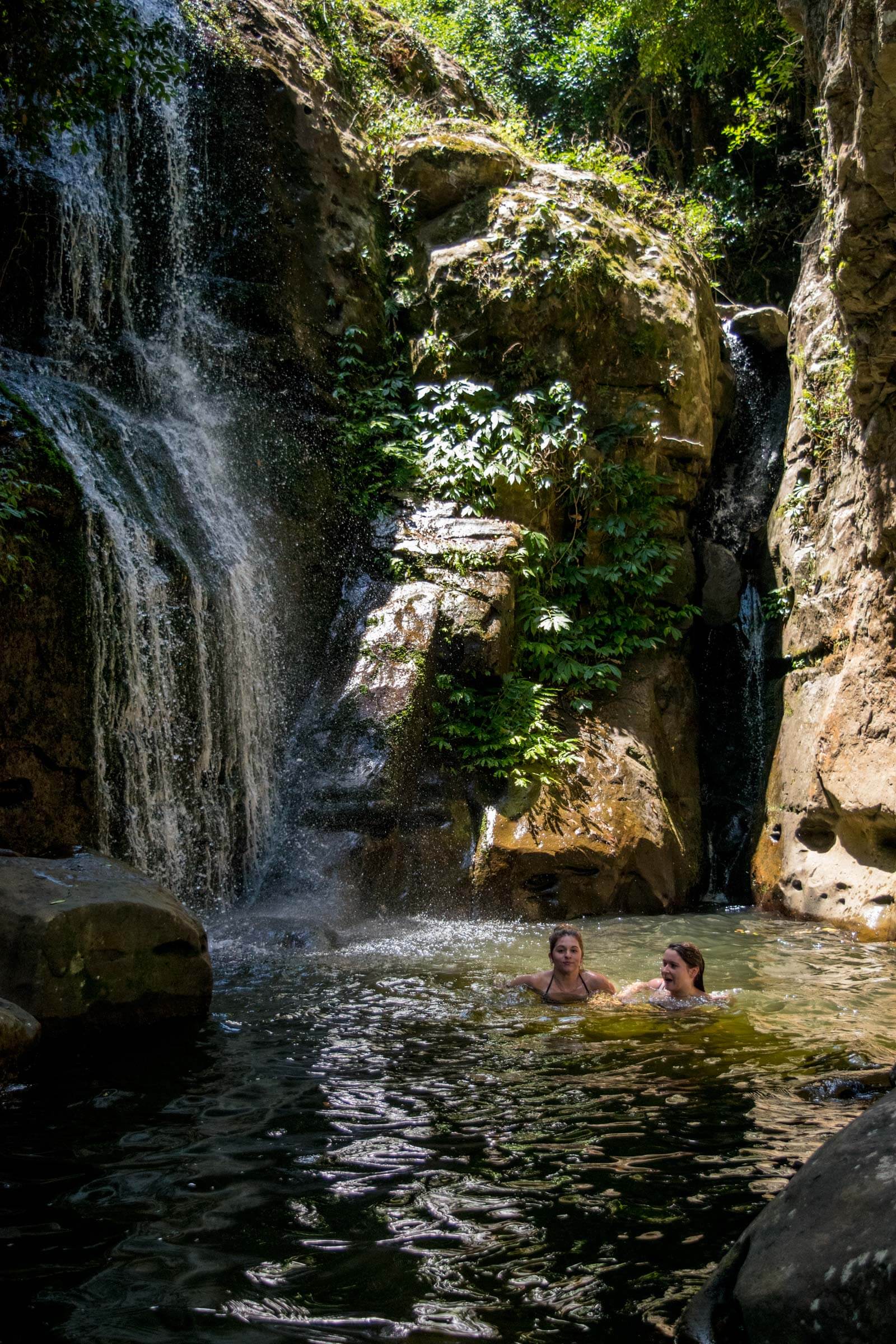
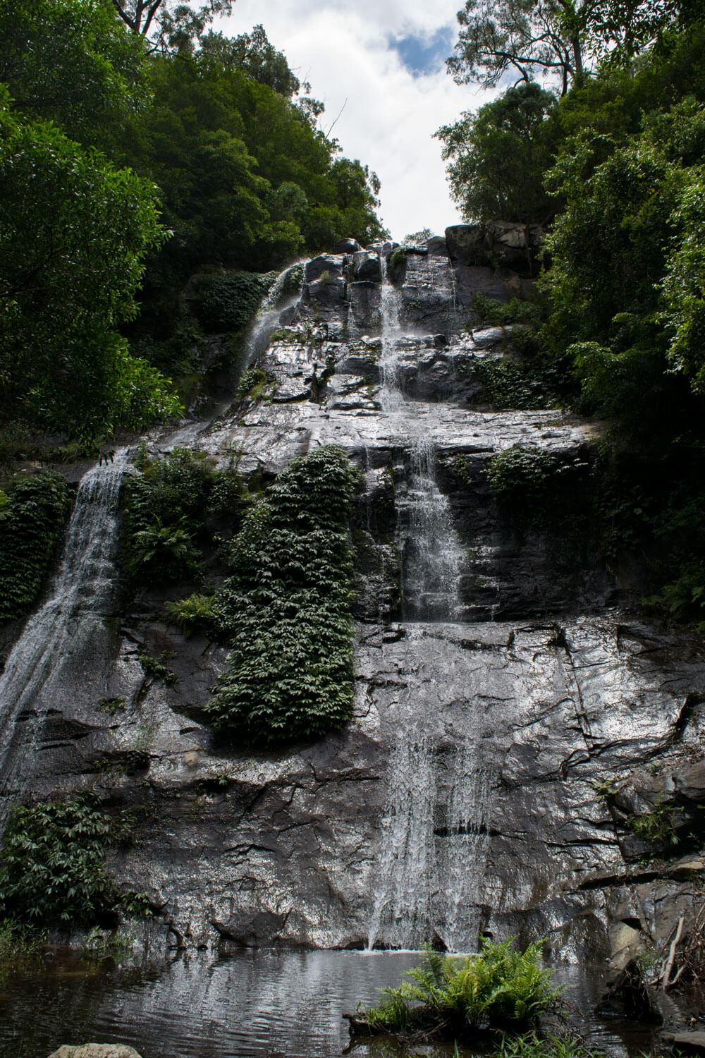
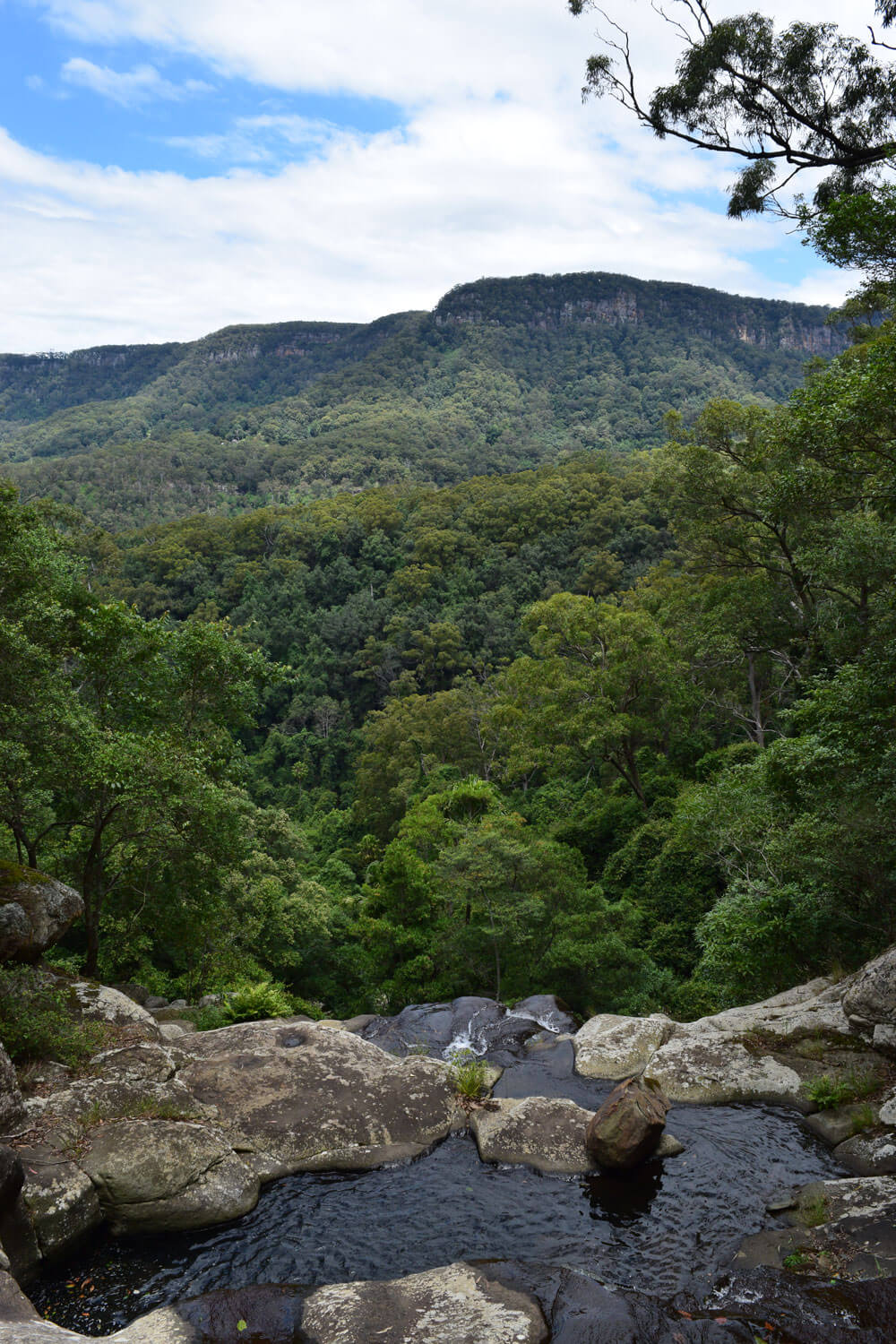
The next section of cascades requires you to ascend. To do this you must cross the river and look for the worn in path that will suddenly take you upwards. If you continually follow this path it will take you to the top of the falls. There are stopping points along the way the lead you back down towards the water, we highly recommend checking them out. Some of these spots allow for swimming as well as great views in the distance and gorgeous scenery.
The trail does become more difficult the higher up you reach. There are ropes in place to climb as well as dug in steps to make it easier. It’s important to wear good shoes for this walk if you’re planning to reach the top as well as packing water. To reach the car you must return the same way.
- Track distance
- 1.65 km
- Ascent
- 87 m
- Steepness
- Moderate (52.7 m/km)
- Descent
- 87 m
- Elevation range
- 78–130 m
Map data: © OpenStreetMap contributors, SRTM | Map style: © OpenTopoMap (CC-BY-SA) · MapLibre GL JS
Elevation profile
Sign in to share recent conditions, contribute a photo, or upload a GPX/GeoJSON route.
 Bundanoon, NSW


Walk reviews
3.0 from 69 reviews
Sign in to leave a review for this walk.
Recent reviews
No written reviews yet. Be the first to share your experience.