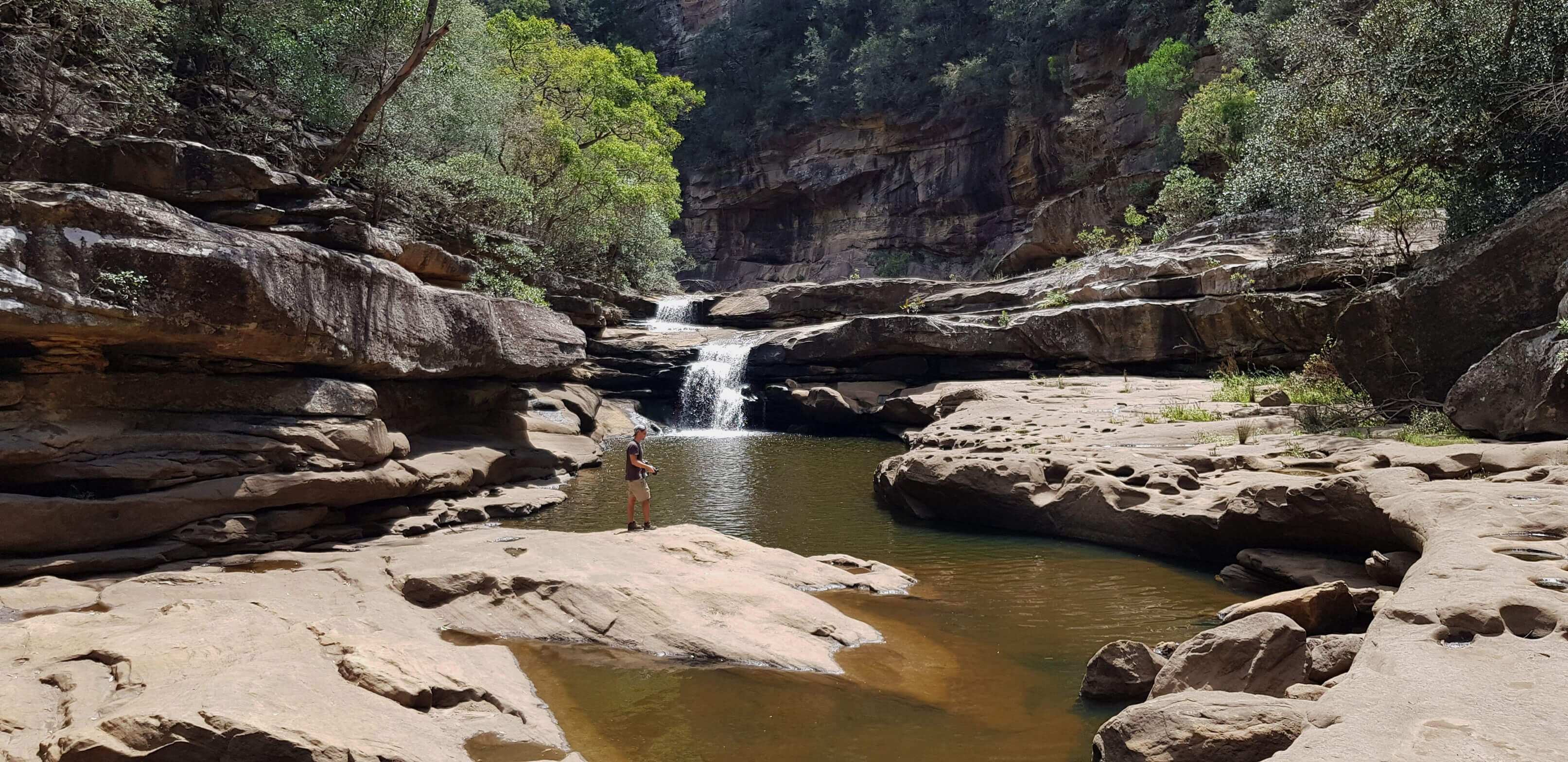





Bargo River canyon
Current trail weather
10° Mainly clear
- Today 24° 6°
- Sat 28° 12° 84%
- Sun 26° 13° 4%
- Mon 31° 12° 31%
- Tue 19° 12° 60%
Details


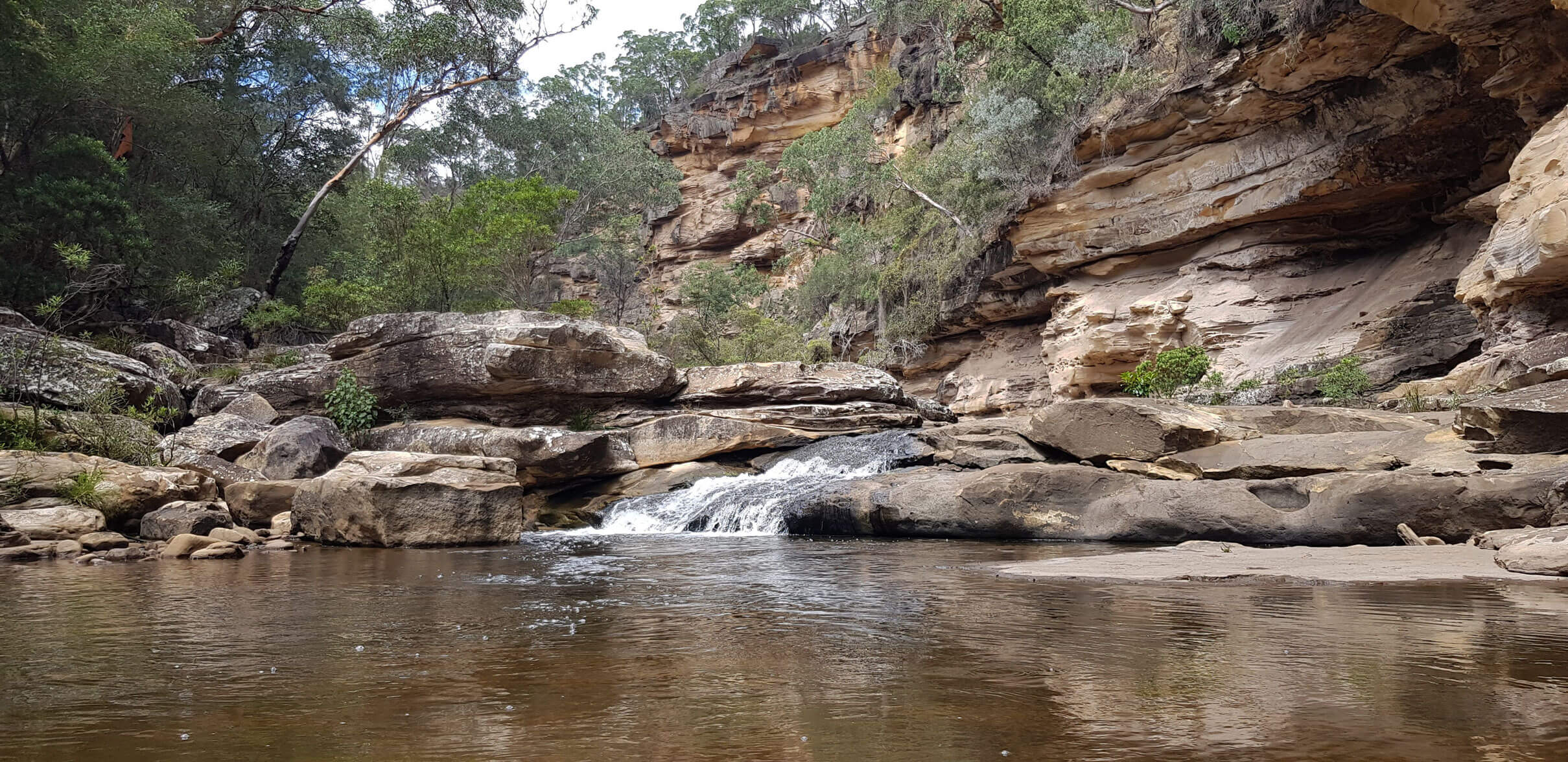
The Bargo River canyon walk (Also known as the Tahmoor canyon walk) starts from the same location as mermaid pools and see thru pools. The Tahmoor canyon track continues from the end of the mermaid pools walk. It leads you to many great swimming locations along the river and even a couple of waterfalls. Through the canyon, the flora changes throughout. With lush rainforest plants and vines climbing up the canyon walls, to dry Australia bush scrub.
Navigating the Tahmoor Canyon Track
The Track starts from a dirt carpark at the intersection of Charlies point road and Arina Road in Bargo. From the carpark, you will notice a track that starts by the bridge, follow this track under the bridge. For the first 800 metres the walk follows the Bargo river, with the river on your left. You will then come across an arrow painted on the rocks directing you to ascend up to your right. Follow this track for the next kilometre, note it does not descend back down into the canyon despite there being many tracks down that might confuse you. These are tracks to various points of interest in the area.
Next, you will come to a fork in the path. There is a Red metal box mounted here, inside you will find a logbook and some extra information on the walk by Robert Sloss. (Thanks Rob, we all appreciate your hard work on this track). Taking the left track takes you right down into the canyon. From there follow the blue ribbons marked on the trees.
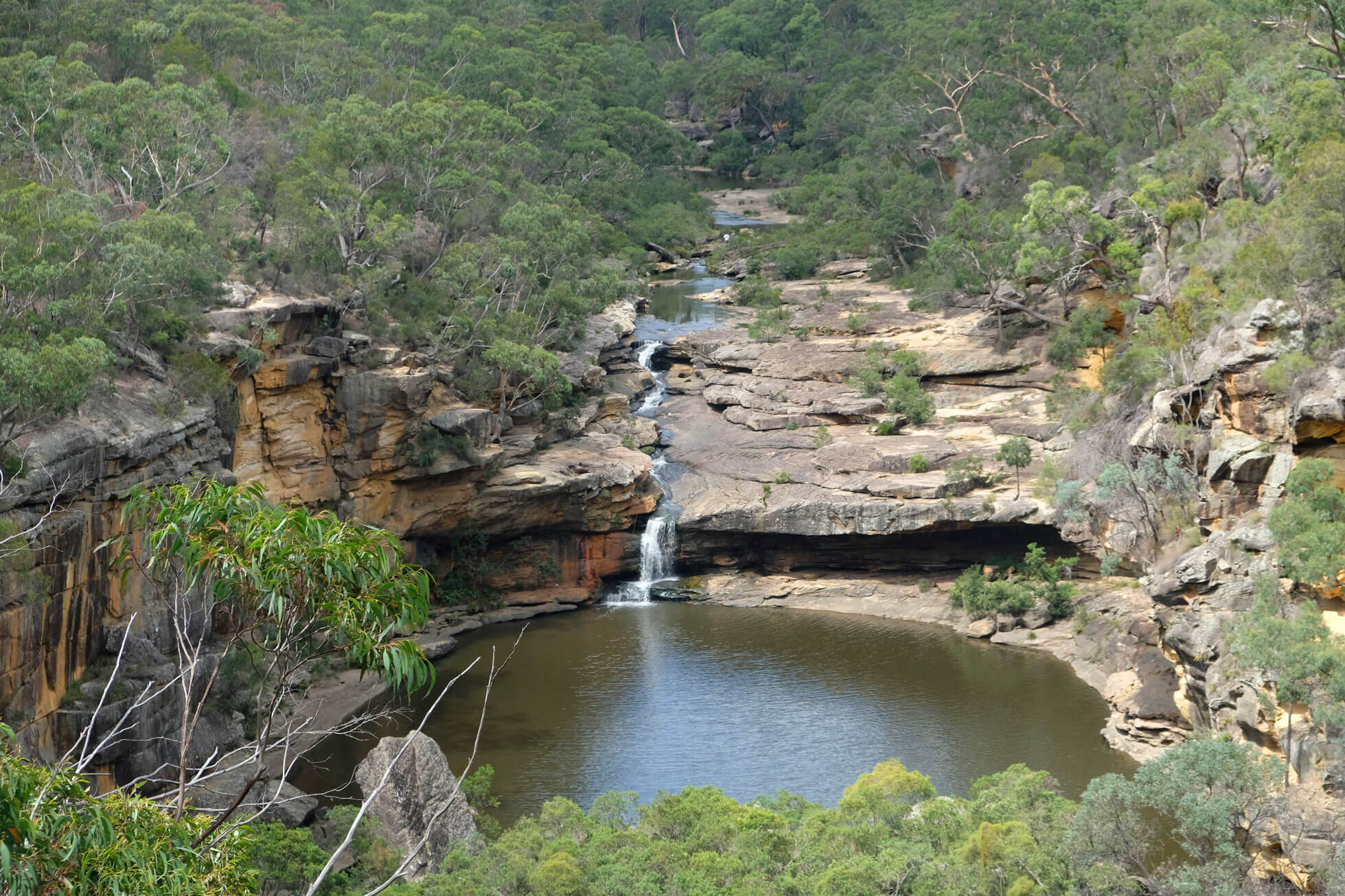
Once you’re in the canyon follow the river downstream, sticking to the right side of the river for the next 800m. You will then reach a two-stage waterfall into an open pool. 30metres after the waterfalls you will then cross the river over a rock platform. 100 metres downstream you then cross back over to the right side of the stream. Make sure to keep a lookout for the ribbons. You wont be crossing back over the river from now on.
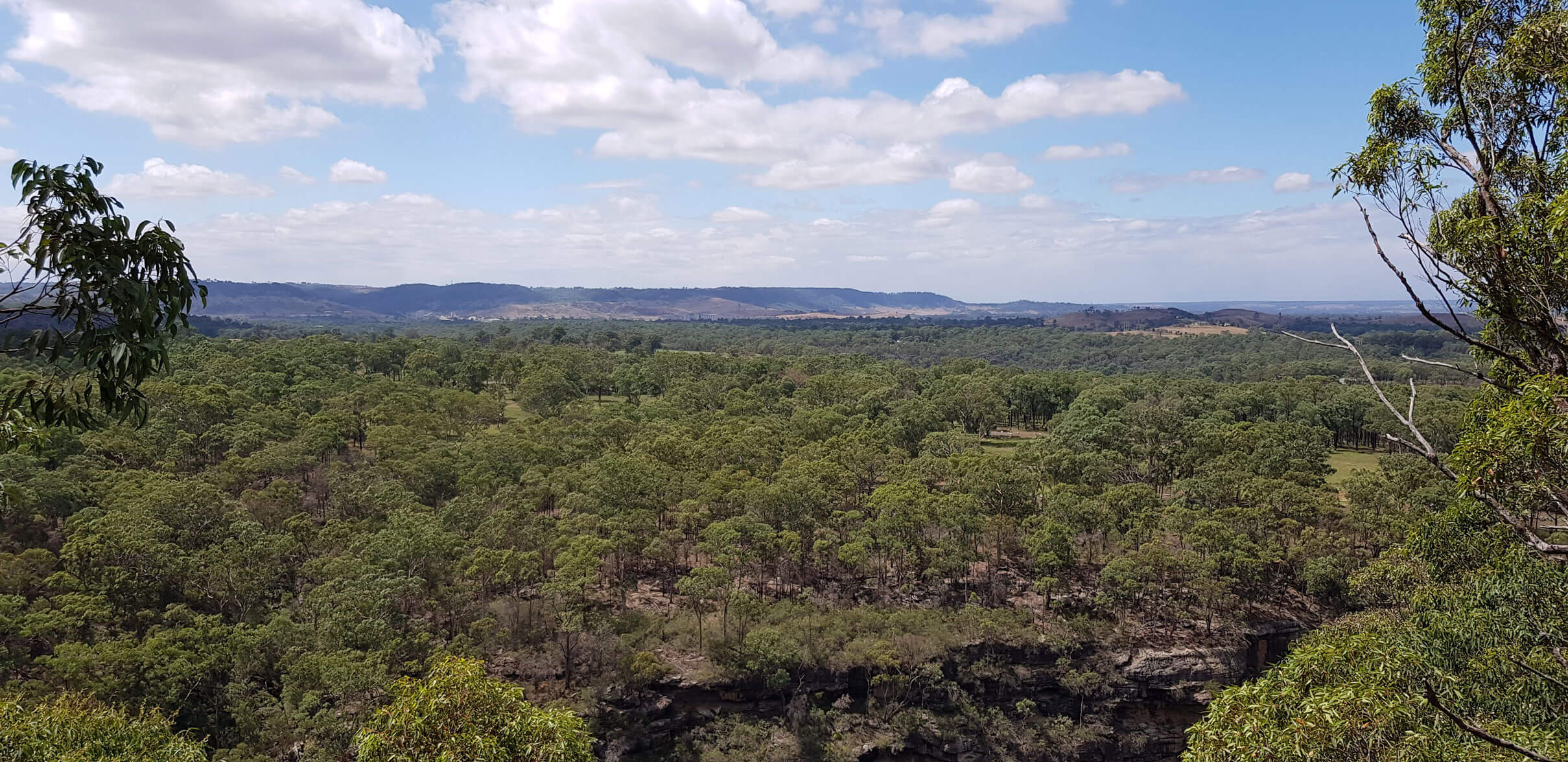
In about 500 meters after the last crossing back to the right side of the river you will notice that the ribbons start to assent. Keep an eye out for the track that leads you back up out of the canyon. From here the track is very clearly defined, make sure to stop at some of the open clearings overlooking Tahmoor, Wilton, Picton and Malden. This track will eventually lead you back to the fork in the track with the red box. From here its just a matter of following the original track you took in, back to the carpark.
- Track distance
- 8.83 km
- Ascent
- 671 m
- Steepness
- Steep (76 m/km)
- Descent
- 671 m
- Elevation range
- 157–283 m
Map data: © OpenStreetMap contributors, SRTM | Map style: © OpenTopoMap (CC-BY-SA) · MapLibre GL JS
Elevation profile
Sign in to share recent conditions, contribute a photo, or upload a GPX/GeoJSON route.
 Oakdale, NSW



I did this walk today – was so so awesome! Thanks for the trail notes. There’s quite a lot of debris after the fires so the track out of the canyon is quite hard to follow at times but there’s still some markings which get you there eventually!