



Yurmikmik Walks
Current trail weather
20° Clear sky
- Today 34° 19°
- Fri 34° 19°
- Sat 35° 18°
- Sun 35° 19°
- Mon 34° 19°
Details

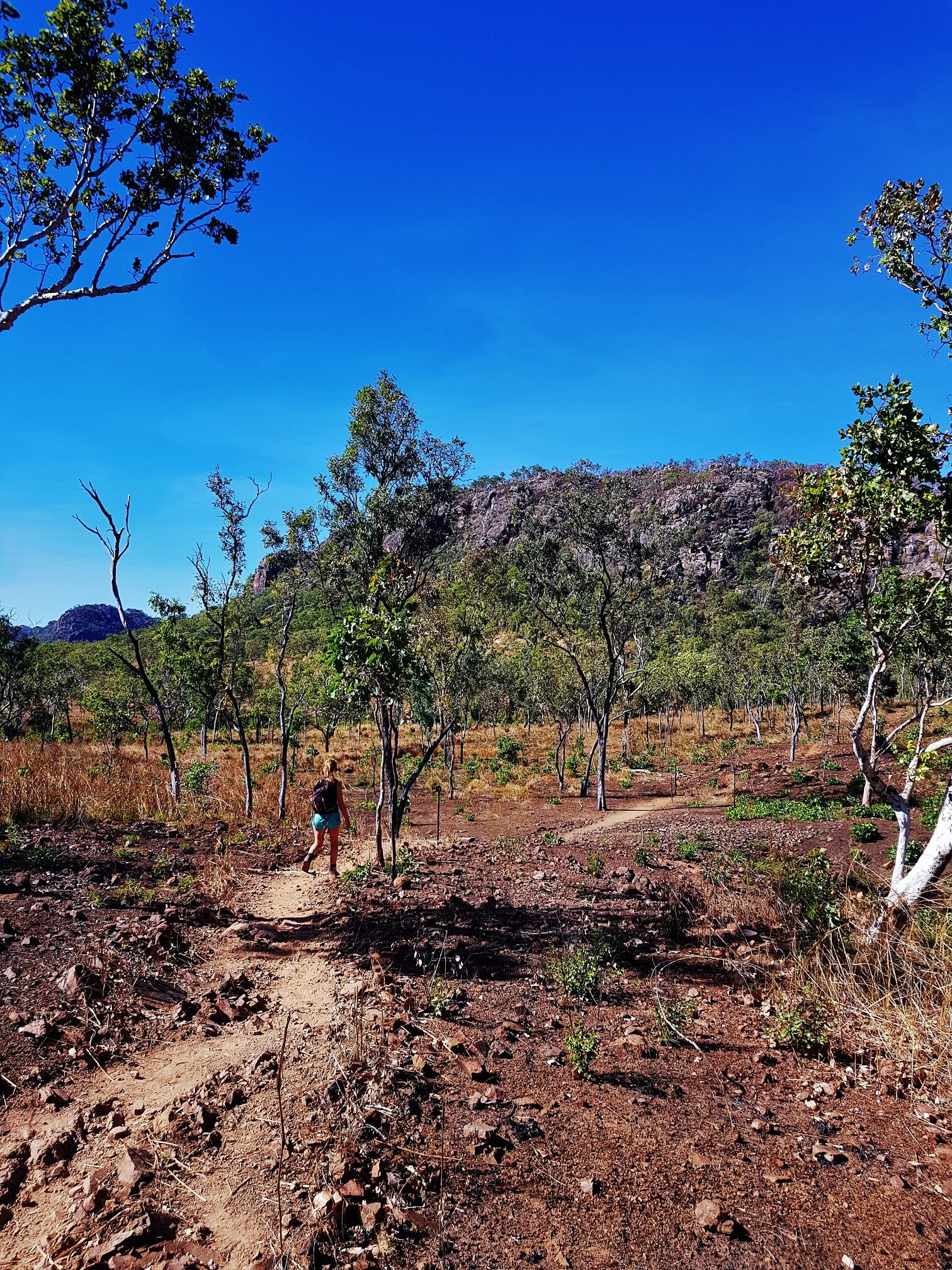
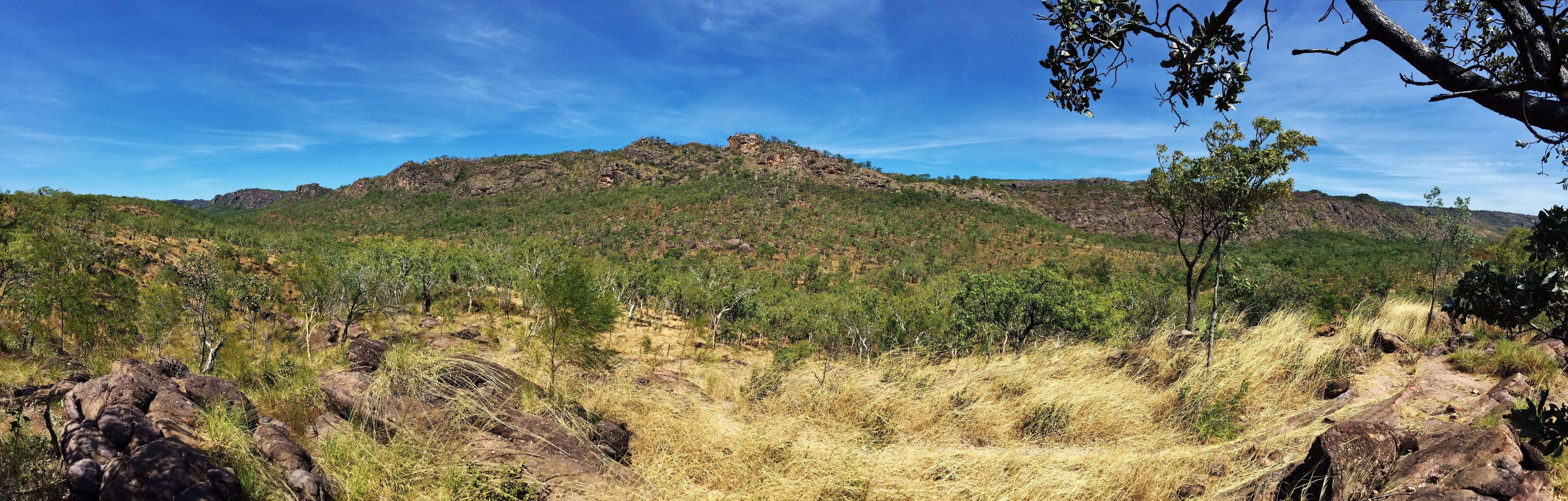
Often overlooked for the more well-known spots in Kakadu National Park, these are a series of interconnected walking tracks, which lead you to some great and secluded swimming holes. Yurmikmik is the Jawoyn name for the country between the Marrawal Plateau and the South Alligator River. The landscape varies hugely between creeks and monsoon forests to open woodlands and rock vegetation where you will be exposed to the Northern Territory heat. There are a number of walks which vary between 2 and 14km and while amazing in the dry, they are seriously impressive in the wet season with water thundering down the cliff face. Just be aware of flash flooding in the creeks at this time. All walks start at the same carpark and are sign-posted, with the exception of Kurrundie Creek.
The shortest walk option is the 2km return Boulder Creek Walk, which is great in both wet and dry season. The track meanders into woodland and monsoon forest and it’s possible to take a dip in the small rock pools in the gorge.
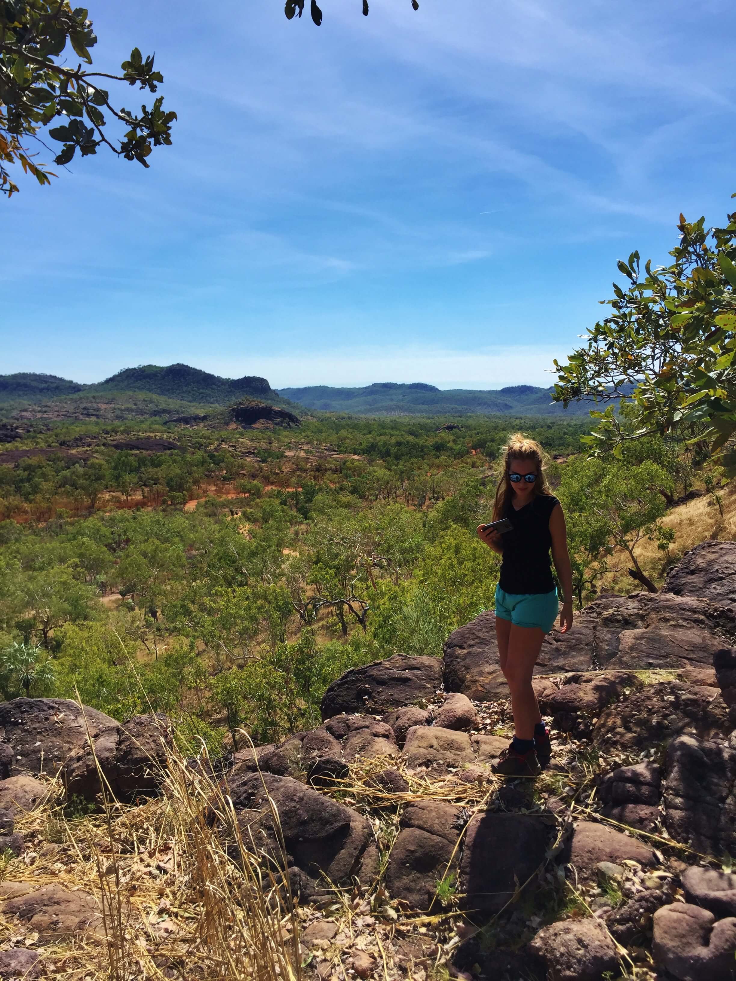
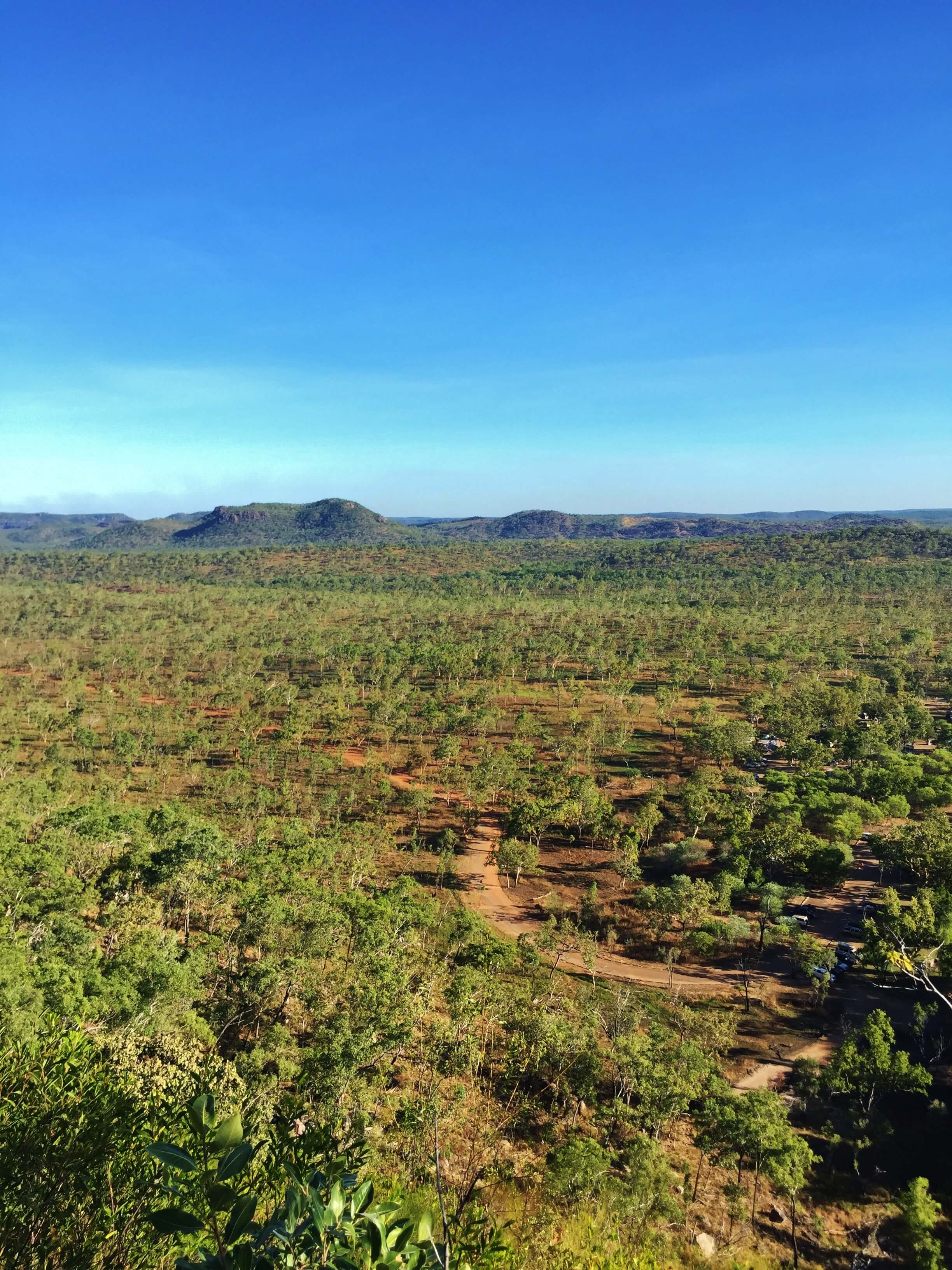
A 5km return walk heads up a stony ridge to Yurmikmik Lookout from which you’ll have amazing views over Jawoyn Country. You can see as far as the southern ridges of Kakadu and also to the vegetation on the South Alligator River. The track is well marked but with some steep sections.
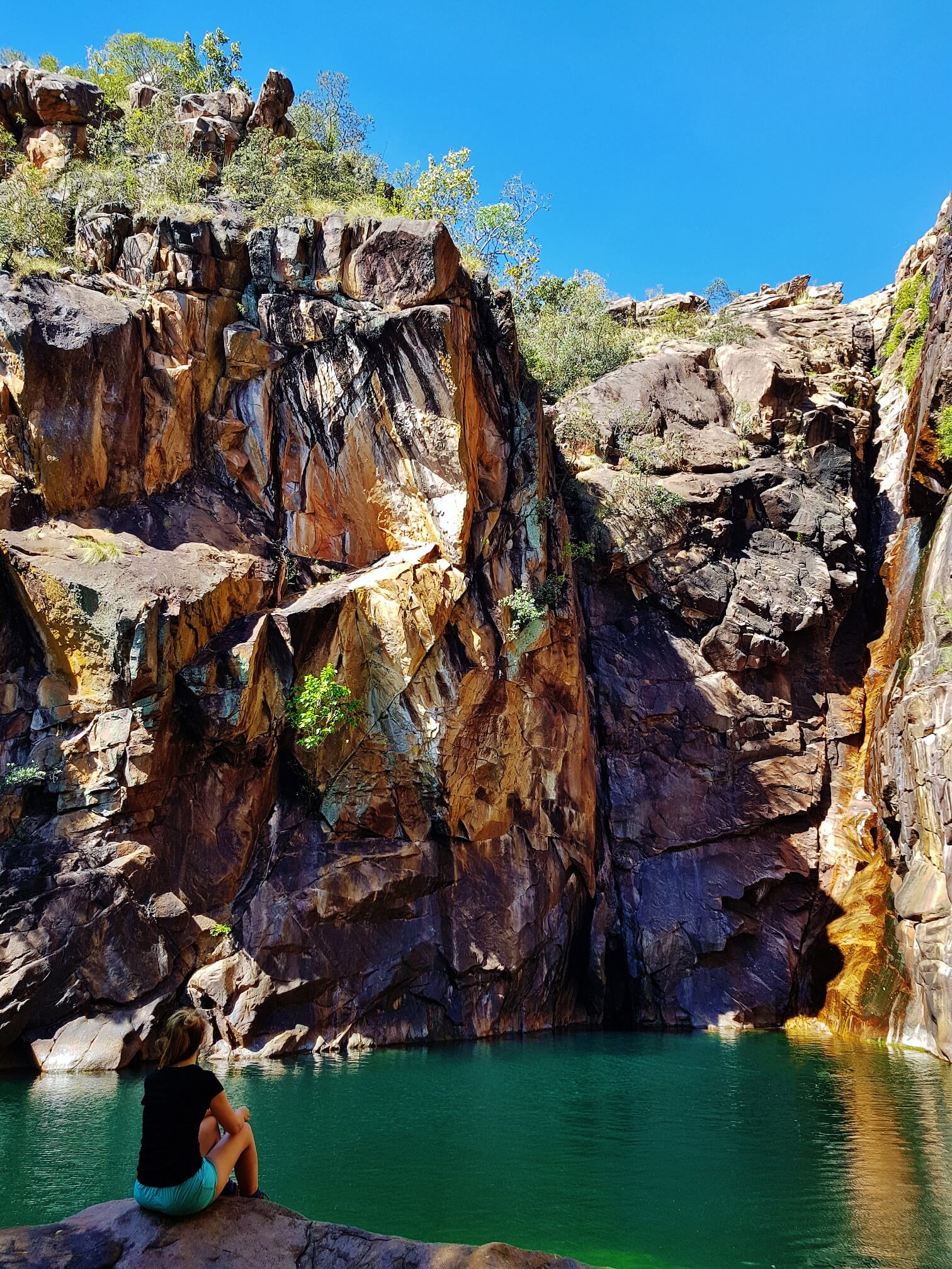
A 7.5km return track takes you to Motor Car Falls, an incredible turquoise pool and waterfall packed with freshwater turtles and shrimp. And the best thing is you’ll likely have the place to yourself. The walk follows a historic vehicle track before entering the creek and rainforest area. The last 300m of track involves scrambling over rocks to reach the large plunge pool and waterfall. Watch out for local wallaroos and kingfishers in this area. This walk is particularly spectacular in the wet season.
The final walk is a 14km circuit to Kurrundie Creek. If attempting this walk bear in mind it is a difficult unmarked track and a permit is required to camp in the area.
- Track distance
- 3.48 km
- Ascent
- 148 m
- Steepness
- Moderate (42.5 m/km)
- Descent
- 148 m
- Elevation range
- 72–106 m
Map data: © OpenStreetMap contributors, SRTM | Map style: © OpenTopoMap (CC-BY-SA) · MapLibre GL JS
Elevation profile
Sign in to share recent conditions, contribute a photo, or upload a GPX/GeoJSON route.
 Jervis bay, NSW



Walk reviews
No reviews yet.
Sign in to leave a review for this walk.
Recent reviews
No written reviews yet. Be the first to share your experience.