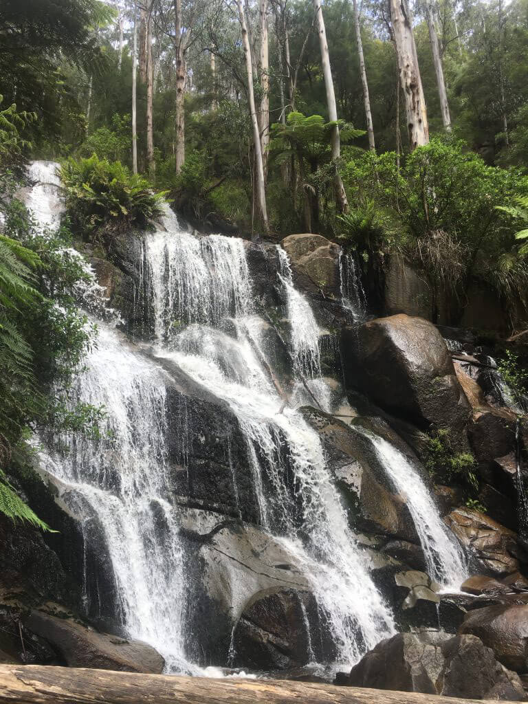





Toorongo Falls
Current trail weather
26° Clear sky
- Today 27° 11° 45%
- Fri 26° 16° 16%
- Sat 26° 13° 92%
- Sun 19° 9° 100%
- Mon 13° 6° 76%
Details

The Toorongo Falls is roughly a 2 hour drive east of Melbourne or where I was staying in the Yarra Valley area it was around 1 hours drive. The drive itself is great, through the vineyards and local logging towns. Driving through the winding roads and escaping the city is great in itself
The Falls are situated in the Yarra state Forrest and can be found in the picturesque town of Noojee. It can be easily searched on google maps.
We had a huge lunch at the local Noojee pub- which I recommend, and then drove a short 10minutes to the car park of the Falls. It is easily found and is sign posted well. There is toilet facilities and a large bbq picnic area at the car park. You can also camp nearby in the camp grounds, I’m not positive but it looked like a free camp area.
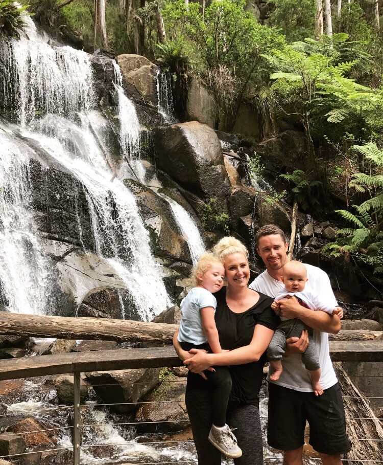
We took on the walk in a group spanning from the ages of 8months to a fit 70 something year old. All were able to handle the walk.
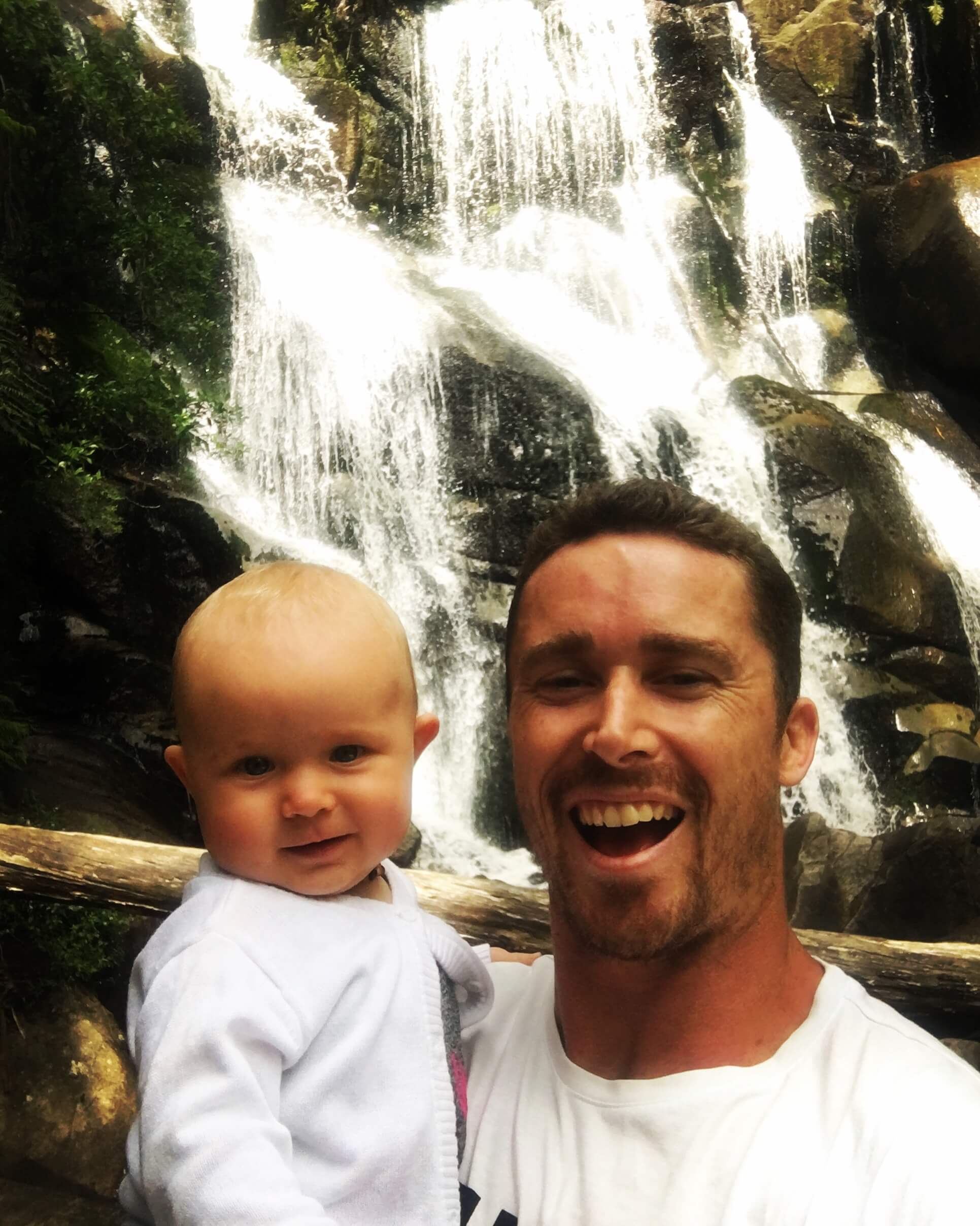
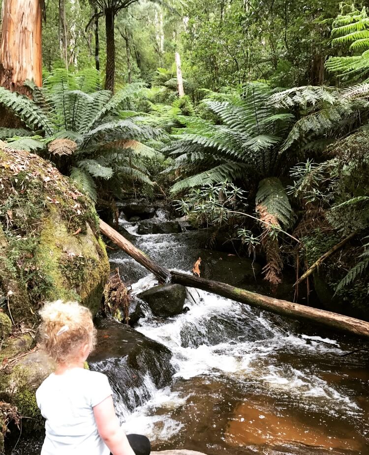
We were on holidays from New South Wales and forgot to bring our baby carrier, so I carried my eight month old daughter all the way up. My 3 and a half year old daughter managed to walk all the way up to the top also. Just had a few little breaks here and there.
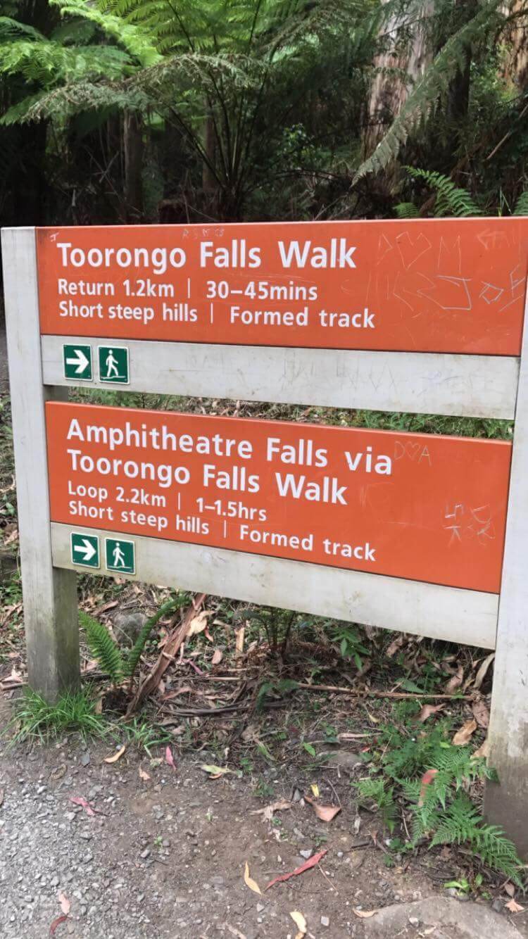
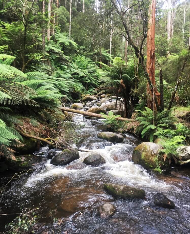
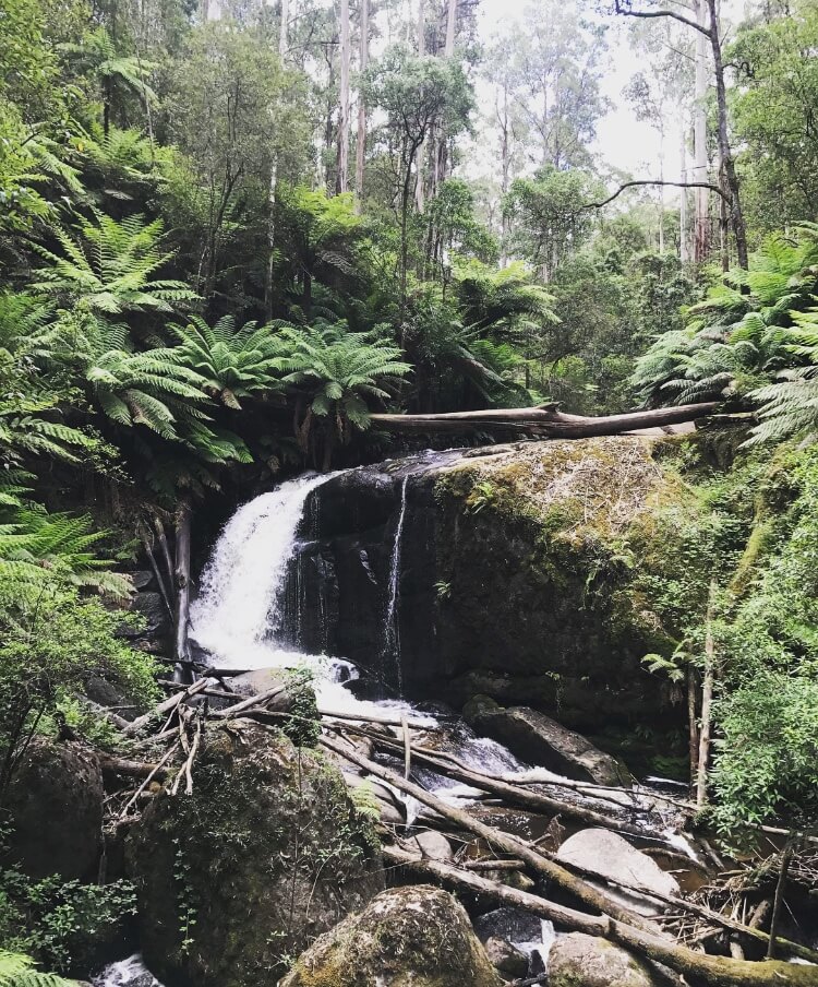
The track itself is well maintained and had very little trip hazards or large steps which makes this track accessible to most. The track has an option of a 1.5km return trek to the Toorongo Falls or are 2.2km round trip which takes you to the Amphitheatre Falls also- worth doing the round trip as the Amphitheater falls are just as good. I went off the track at these falls and found a great little area to swim at the top!
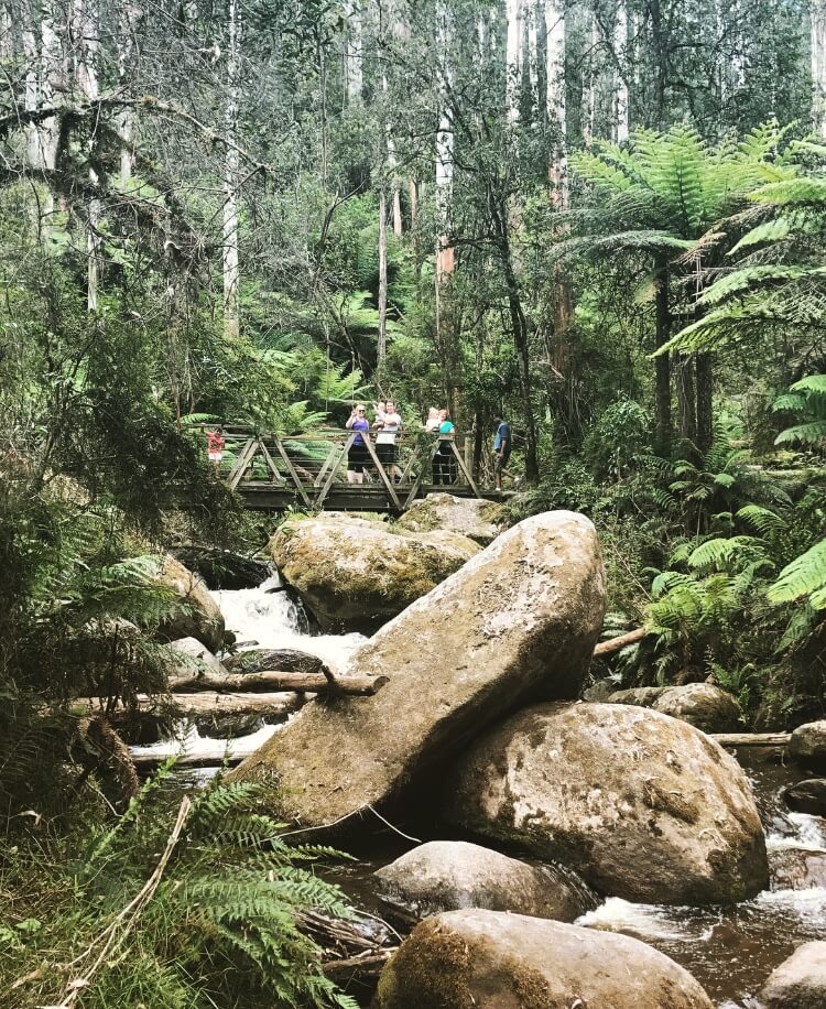
The walk has some great little bridges and large viewing platforms for both of the waterfalls.
Nearby also in the town of Noojee is the Noojee Trestle Bridge. The trestle bridge was first opened in 1919 and used as a railway bridge for many years. You can walk across the bridge and take some great photos here. I’ve added some photos here too
I would highly recommend this day out, the Falls are some of the best I’ve seen
- Track distance
- 2.18 km
- Ascent
- 166 m
- Steepness
- Steep (76.1 m/km)
- Descent
- 166 m
- Elevation range
- 332–448 m
Map data: © OpenStreetMap contributors, SRTM | Map style: © OpenTopoMap (CC-BY-SA) · MapLibre GL JS
Elevation profile
Sign in to share recent conditions, contribute a photo, or upload a GPX/GeoJSON route.
 Katoomba, NSW


Is it a big hike to get here? What level of fitness is needed?