




Thirlmere Lakes Loop
Current trail weather
17° Mainly clear
- Today 26° 12° 96%
- Sun 25° 13° 2%
- Mon 31° 11° 14%
- Tue 18° 12° 82%
- Wed 17° 9° 32%
Details

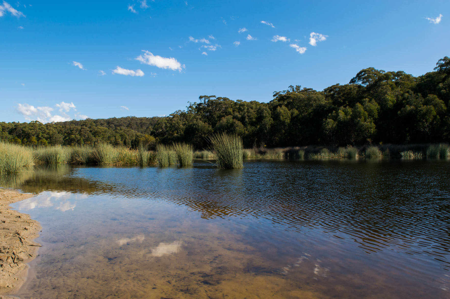
Thirlmere Lakes can be found in the Wollondilly area just off of West Parade, heading down slades rd into the Thirlmere Lakes National Park. There are three picnic areas which you can start the walk from however we recommend parking your car at the Couridjah picnic area. Here is a nice place to have a BBQ or picnic lunch as well as a swim on a nice hot day. This spot is also a popular place for people to kayak in the summer months.
Starting from the Couridjah picnic area you will see an information board which indicates where the track starts. From here you will follow the unmarked track around three of the lakes, the trail head stars just to the left of this information board. The walk is very easy with no steep hills although sometimes does become a little overgrown. If you love birdwatching and native plants, Thirlmere lake offers many exceptional opportunities for you with over 150 different types of bird species. After travelling the track for roughly 1km you will see that the track splits off in 3 directions, stick to the right to follow the loop. The track leads you around three of the lakes and will eventually bring you out onto Slades road. You turn right and follow the road down to the lakes where you will come to Werri-Berri Picnic area which is also another nice spot to relax on the sand bar and cool off in the water. Continuing on from this picnic area, you’ll pass heritage pump houses and large rock formations before the road leads you back to your car.
Please remember to pack water and sunscreen before heading off on the walk and wear appropriate footwear. Also a friendly reminder to place rubbish in the bins provided or to take it home with you to maintain a clean environment.
- Track distance
- 9.21 km
- Ascent
- 358 m
- Steepness
- Moderate (38.9 m/km)
- Descent
- 358 m
- Elevation range
- 310–349 m
Map data: © OpenStreetMap contributors, SRTM | Map style: © OpenTopoMap (CC-BY-SA) · MapLibre GL JS
Elevation profile
Sign in to share recent conditions, contribute a photo, or upload a GPX/GeoJSON route.
 Oakdale, NSW


Walk reviews
No reviews yet.
Sign in to leave a review for this walk.
Recent reviews
No written reviews yet. Be the first to share your experience.