Spit to Manly
Current trail weather
10° Clear sky
- Today 15° 9° 22%
- Mon 17° 9°
- Tue 18° 8° 1%
- Wed 14° 10° 58%
- Thu 16° 13° 67%
Details
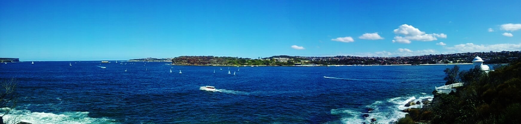
The beautiful 10km Manly Scenic Walk takes you through Sydney Harbour National Park. The Park protects a number of islands and foreshore areas around the harbour and provides superb swimming spots and bush-walking trails and is also home to loads of native wildlife and Aboriginal sites. Start at Spit Bridge; a drawbridge which connects the North Shores to Middle Harbour. The trail starts under the bridge and skirts the waterfront around to Fisher Bay, a little sub-tropical rainforest wilderness with a waterfall and tiny natural beach. After passing through some bush, the trail steps down onto Sandy Bay which is a large expanse of pure white sand. Follow the trail along the water’s edge until you reach Clontarf Beach, again a ridiculously beautiful piece of white sand and clear blue waters.
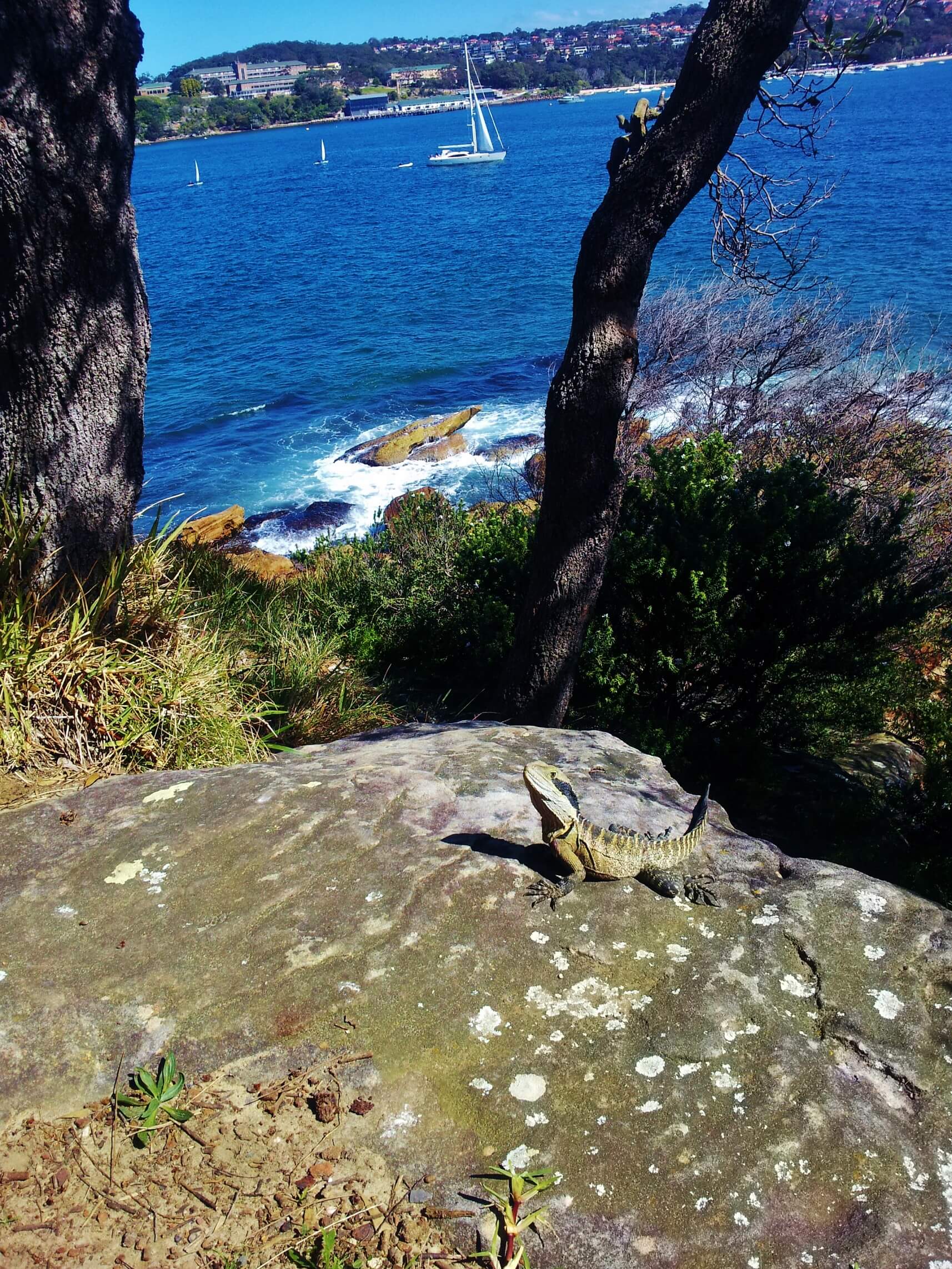
The trail then enters the Sydney Harbour National Park. Clamber up through the bush and follow the trail directly above Castle Rock Beach. This little ribbon of beach has a small waterfall which pours a stream of fresh water on to the sand at the foot of the rocky hillside. There is an optional detour to Grotto Point, which is a bit bush-wacky but so worth it though because at the southernmost point stands a tiny white lighthouse built in 1911 but is still active today. There are also plenty of Water Dragons sunbathing on the rocks with the stunning view of the harbour behind.
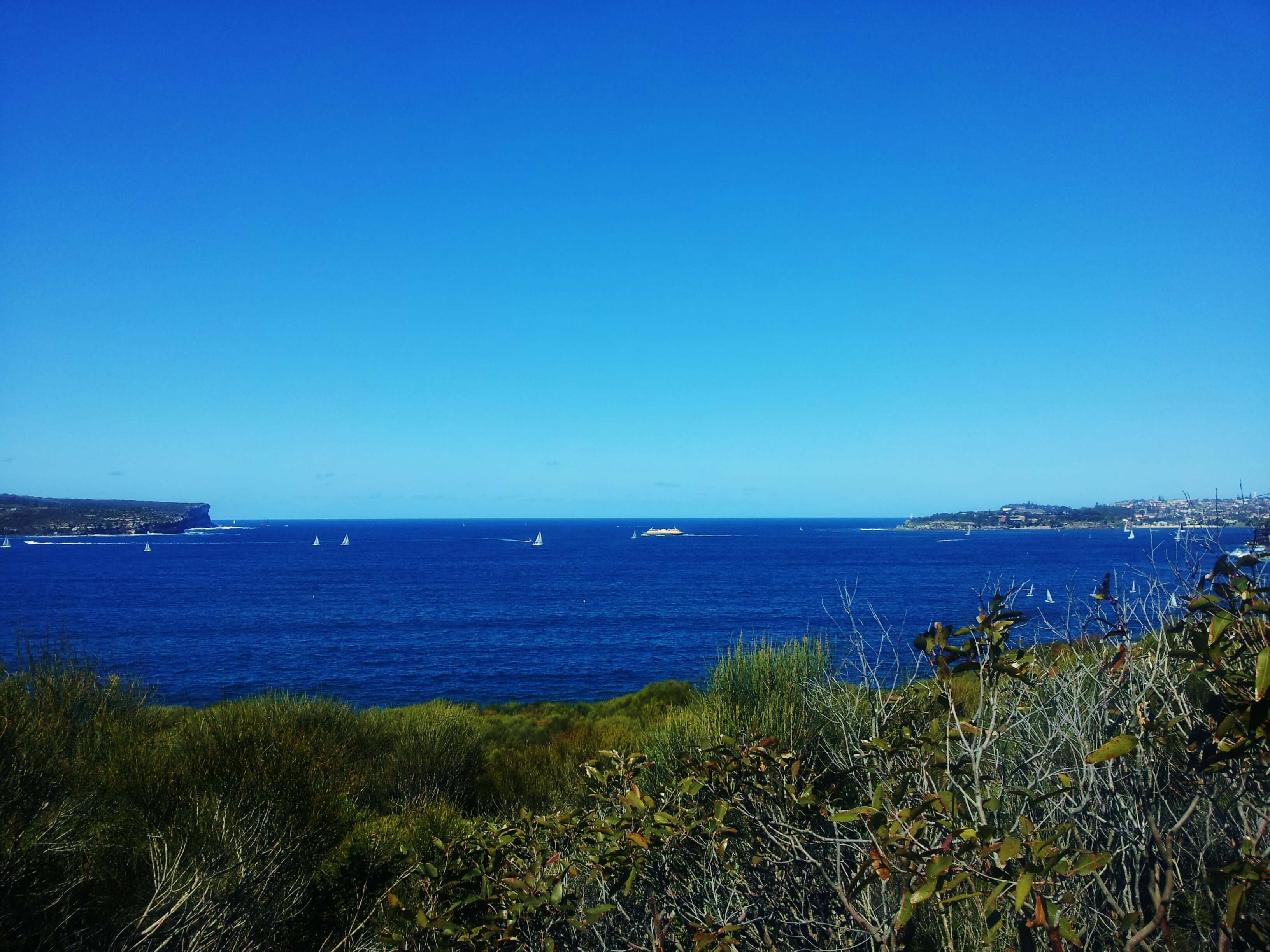
Climb the trail back up from Grotto Point and follow it around the headland where there is an extensive area of Aboriginal rock carvings including whales, fish and an emu. The trail continues across rocky outcrops and through bush but with some well-protected lookdown points providing outstanding Harbour views. Directly below one of the first lookouts is Crater Cove, named because it looks like a volcanic crater (although it isn’t) and there are a number of small shacks built by locals in the 1920’s and 30’s used as fishing huts. These have now become heritage items and are part of the National Park. Next along the trail is Tania Park, which is awash with wildflowers during Spring. The trail leads to a lookout called Dobroyd Head which provided unforgettable views out to Manly, the Harbour and the Dobroyd headland. The bush here is pretty typical of coastal heath: all tea-tree and banksia scrub.
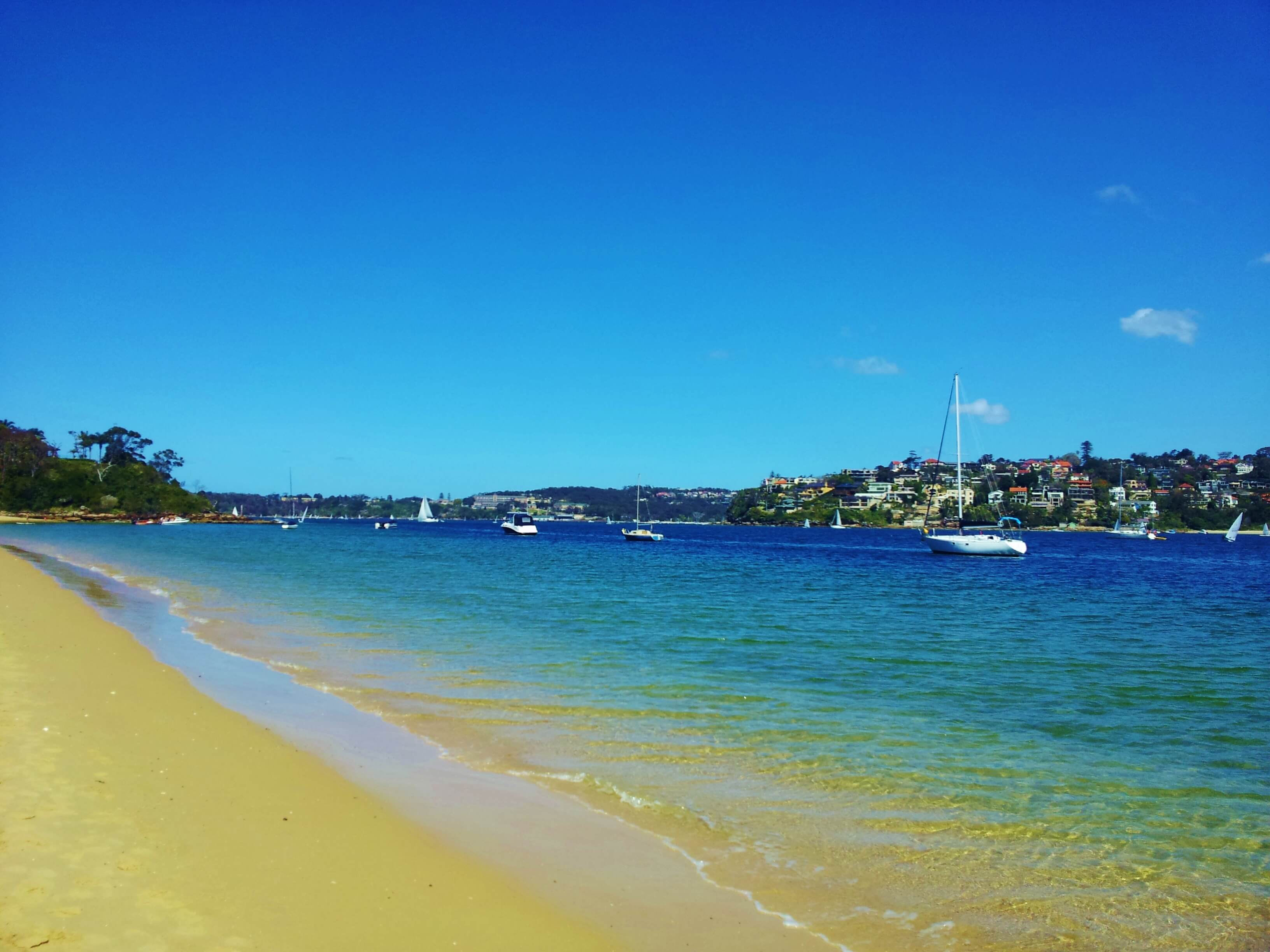
The trail then continues onto Reef Beach, a very quiet and natural bush beach which looks towards Manly. At this point the trail leaves the National Park and drops down to a rocky corner of 40 Baskets Beach. Depending on the tide times, you may get wet crossing this part. From here, there is one last patch of forest before reaching the North Harbour Reserve and the trail – Manly Cove and Ferry Wharf. The final stretch up beach leads to the busy Ferry Terminal.


Sign in to share recent conditions, contribute a photo, or upload a GPX/GeoJSON route.


Walk reviews
No reviews yet.
Sign in to leave a review for this walk.
Recent reviews
No written reviews yet. Be the first to share your experience.