




Schlinks Trail
Current trail weather
13° Partly cloudy
- Today 15° 7° 100%
- Sun 16° 4°
- Mon 15° 8° 100%
- Tue 14° 1° 24%
- Wed 11° -0° 21%
Details
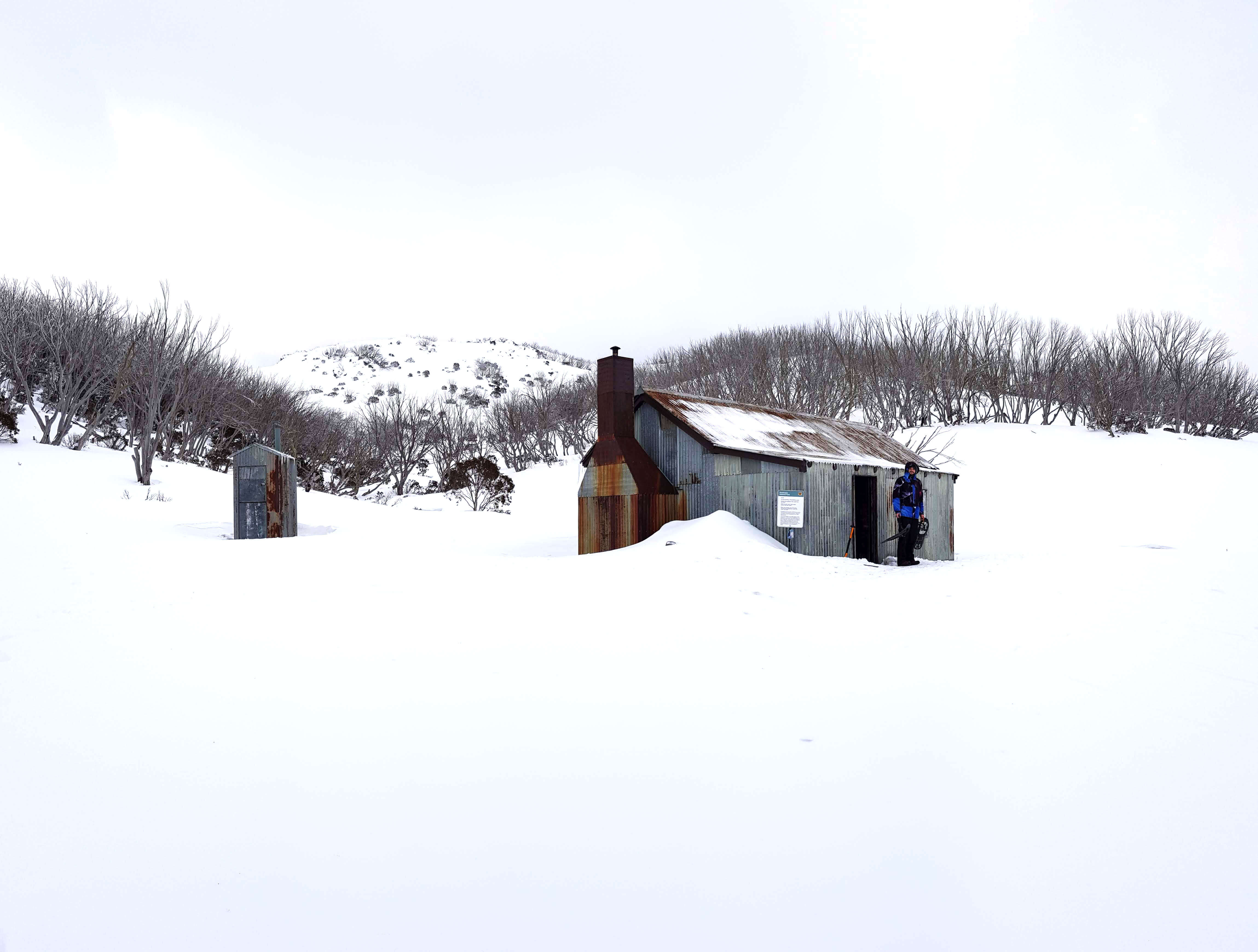
The Schlinks trail is a loop trail in the snowy mountains behind perisher at Guthega. The trail can be completed in any season. The Schlinks trail is a great trek during winter due to the fact that the trail has emergency shelters along the whole trail. They are, horse camp hut, whites river hut, Schlinks hut and Valentine hut.
If you do plan on doing this hike in winter keep in mind that you should never rely on the huts and should always pack for to prepare for no huts. Also note that the huts can get quite crowded especially the horse camp hut.
If you are new to snow hikes and unsure what to pack and prepare, read our full guide here.
Navigating Schlinks Trail
The trail starts at the Guthega power station carpark. Head over the bridge towards the power station, walk past the pipe line and you will see a road marked Schlinks trail. Note that there are two road here, one immediately crosses the river to the right and the other is the higher road. You want to take the higher road heading up the mountain to the left.
The trail follows the Schlinks pass road on Google maps. I would suggest using Google maps to navigate the hike because of this. Download the map first using Google maps offline maps feature first. Don’t solely rely on Google maps and you phone for navigation. Get familiar with the track before embarking and take a paper map and compass with you. I would recommend paying a visit to the Jindabyne national park office if you are unsure and want some extra advice.
Most of the huts are sign posted and generally a few hundred meters off the main track. The whites river hut however isn’t sign posted so keep an eye on how you’re traveling if you plan on visiting this hut. Remember, never rely on a hut for shelter, always be prepared for a night in the snow. If you do stay in one of the huts along Schlinks pass, make sure to leave it as you found it.
- Track distance
- 23.25 km
- Ascent
- 1093 m
- Steepness
- Moderate (47 m/km)
- Descent
- 1093 m
- Elevation range
- 1327–1801 m
Map data: © OpenStreetMap contributors, SRTM | Map style: © OpenTopoMap (CC-BY-SA) · MapLibre GL JS
Elevation profile
Sign in to share recent conditions, contribute a photo, or upload a GPX/GeoJSON route.
 kosciuszko national park, NSW



Walk reviews
No reviews yet.
Sign in to leave a review for this walk.
Recent reviews
No written reviews yet. Be the first to share your experience.