




Manning Valley Lookout
Current trail weather
23° Clear sky
- Today 24° 6°
- Sat 22° 12° 94%
- Sun 24° 12° 6%
- Mon 27° 15° 29%
- Tue 15° 11° 78%
Details
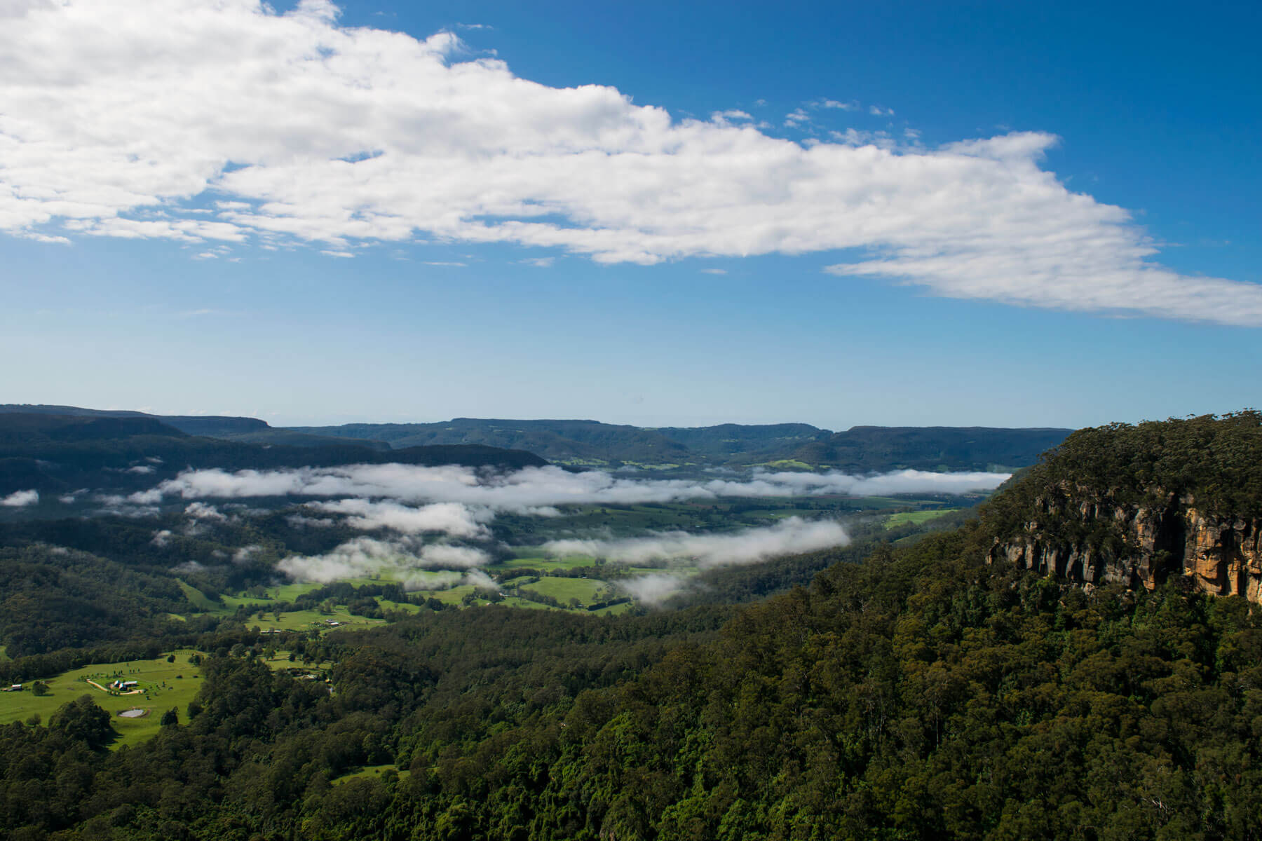
If you are in the area of Fitzroy falls it is well worth while travelling a few minutes down the road to view Manning Valley Lookout. The road to turn to will be found to your right hand side travelling from Fitzroy falls. The turn is found 2.8kms down the road. You then follow an unsealed road for approximately 1.9kms before reaching a sign that informs you the walk is only 150m ahead. Please note that there is no carpark.
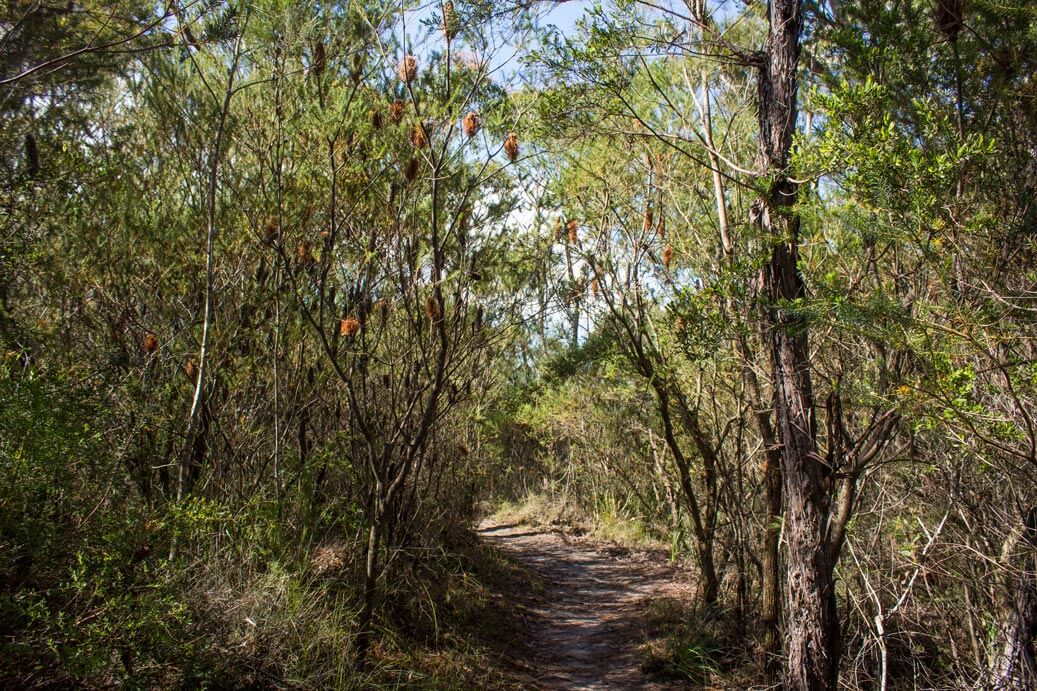
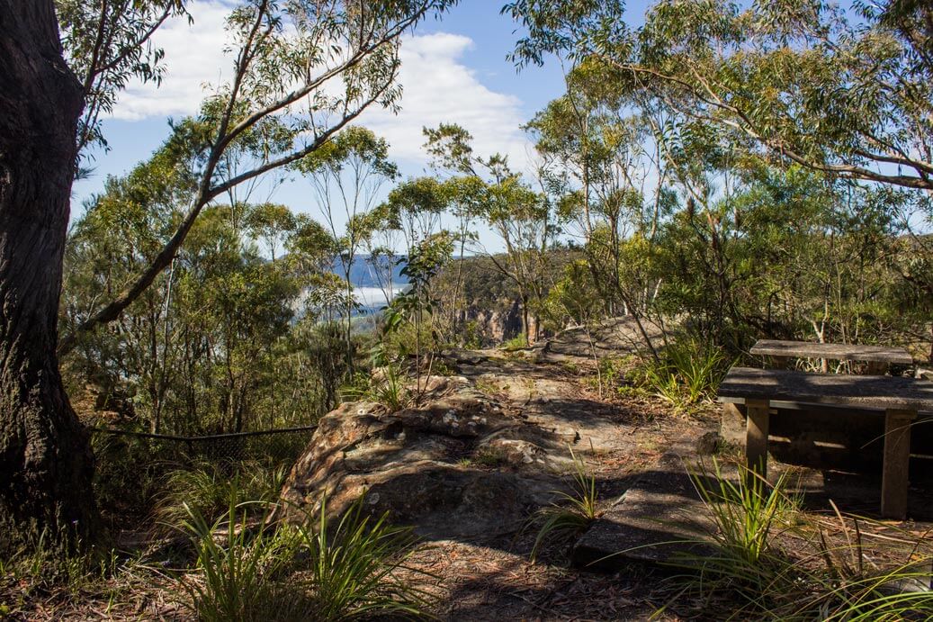
Although this is only a very small walk it does offer beautiful views of the valley below. Picnic tables are set up for you to enjoy a home packed lunch while taking in stunning views while listening to birds sing in the trees. Bottle brush plants are visually displayed all around the path as well as purple trigger plants. This lookout does feel more isolated from many other places which does make you feel as though you are in another world. If you do pack a picnic lunch, just a friendly reminder to take all rubbish with you. If you have the time and are feeling adventurous, then also checkout manning valley falls.
Finding the hidden Manning valley falls
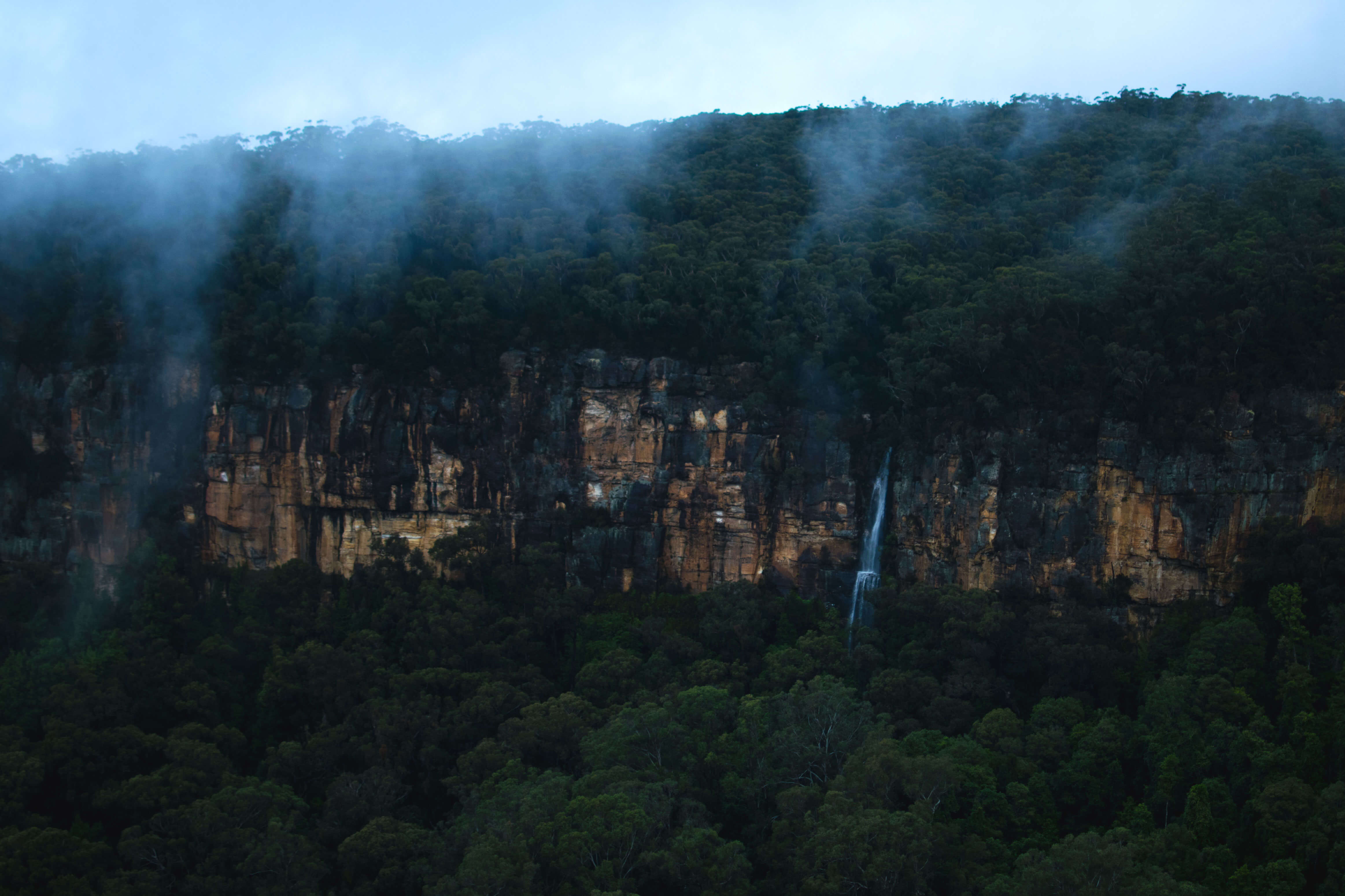
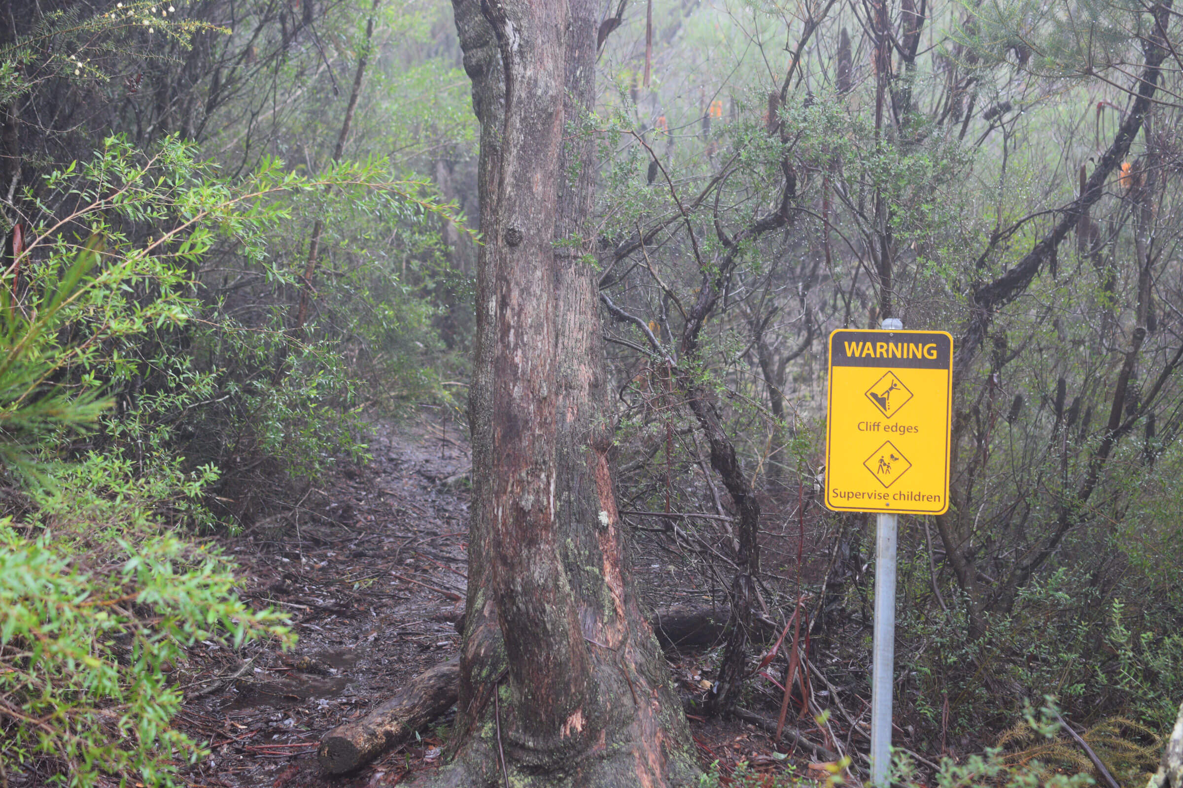
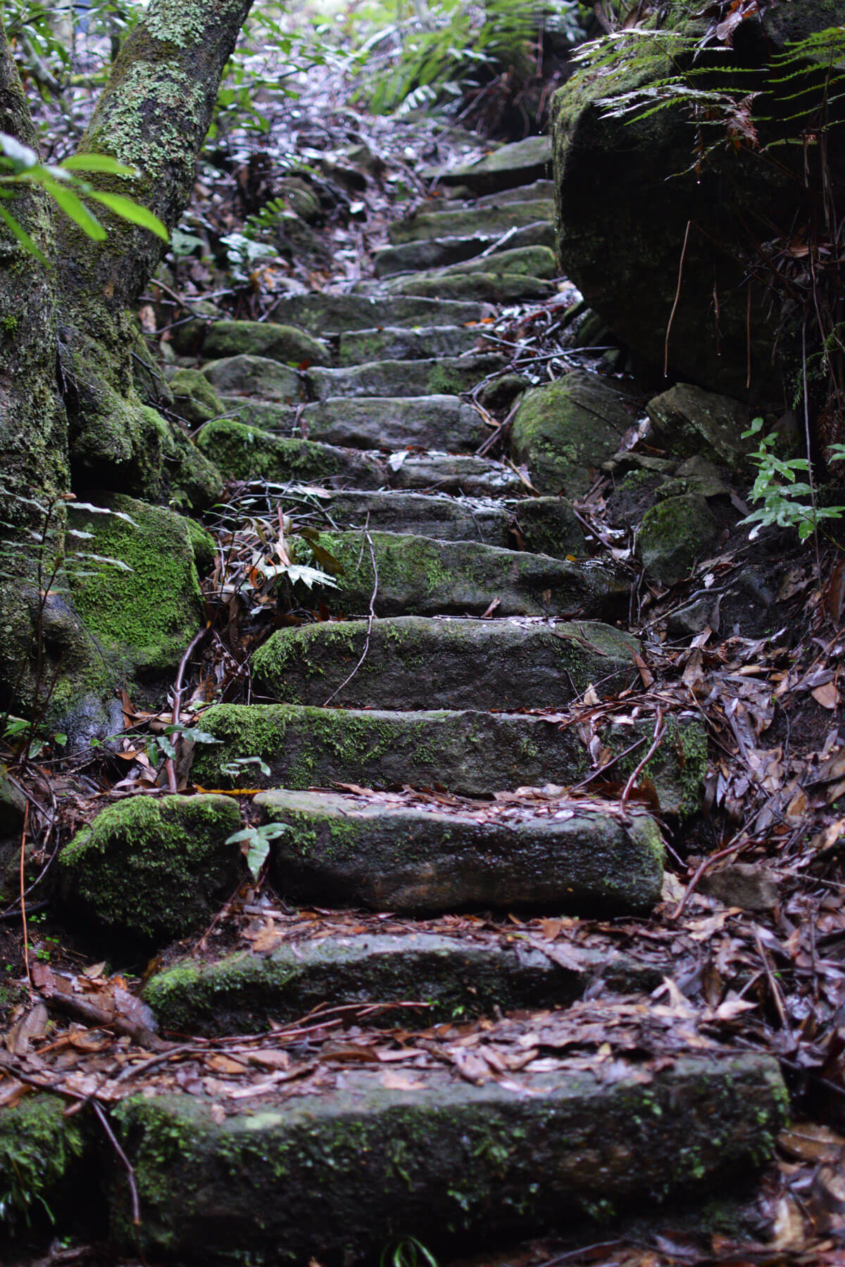
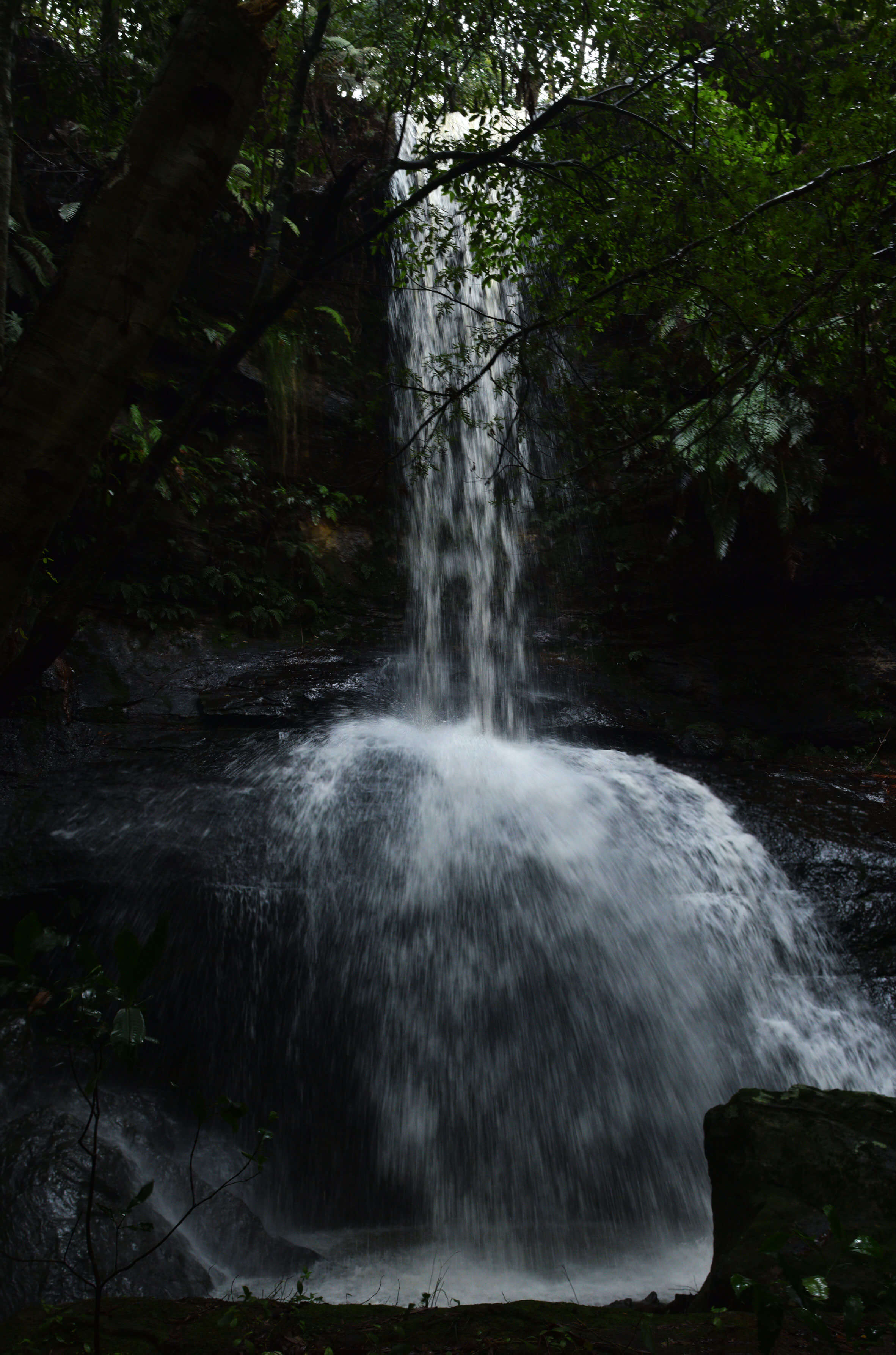
From the lookout un-marked and unknown is a forgotten track to an amazing waterfall, manning valley lookout falls. To find the trail head for the falls look for a sign warning of the cliff edges and to supervise children(see the gallery below). To the left of this sign you will notice a bit of a warn in path, this is the start. The track is 1.6km return and should take 45 minutes, it is an easy trek. However the path can easily disappear due to overgrowth so be wary. If you find stone steps then you are on the right track. There is a set of stone stairs that will also take you to the bottom of the falls.
- Track distance
- 1.82 km
- Ascent
- 125 m
- Steepness
- Steep (68.7 m/km)
- Descent
- 125 m
- Elevation range
- 612–651 m
Map data: © OpenStreetMap contributors, SRTM | Map style: © OpenTopoMap (CC-BY-SA) · MapLibre GL JS
Elevation profile
Sign in to share recent conditions, contribute a photo, or upload a GPX/GeoJSON route.
 Jervis bay, NSW


Walk reviews
No reviews yet.
Sign in to leave a review for this walk.
Recent reviews
No written reviews yet. Be the first to share your experience.