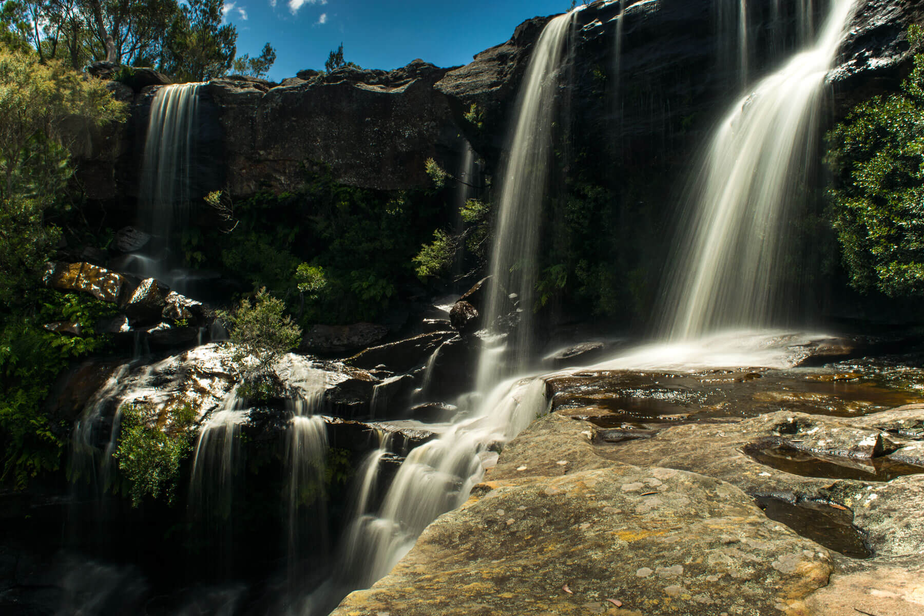





Maddens Falls
Current trail weather
15° Light drizzle
- Today 27° 13° 94%
- Sun 25° 15° 4%
- Mon 32° 15° 24%
- Tue 18° 12° 88%
- Wed 16° 11° 29%
Details

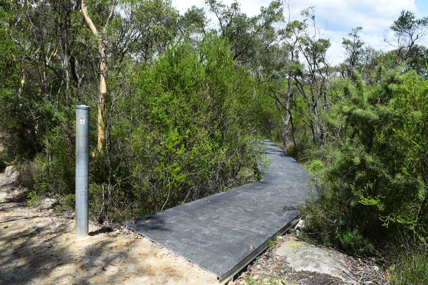
Maddens falls is an easy walk in the Dharawal national park. The walk starts on a fire trail that heads down hill, after about 200 meters on the right you will see a board walk off to the right of the trail, this is the start of the walk to the falls. The trail leads to a lookout of the falls, the lookout however is sub par of a view of the falls themselves. However it is possible to go around the lookout to the top of the falls.
Getting to the bottom of maddens falls requires you to go off the track, once you cross the top of the falls there is a small clearing where a track has been half worn in. This goes around the rocks and down to the first ledge of the falls, this gets you half way down the falls and is fairly easy to get to. From here you can get to the very bottom but the track there is even more unclear, from the middle section you go back into the bush behind you and you may notice another worn in track, but much less worn than the previous one, it appears as an animal track. This will lead you around the ledge where you will then make your way down to the stream. From here you will need to work your way across the rocks up to the falls, this section is rated hard.
Alternatively is you have some climbing rope and are game enough there is a short cut that skips this section from the middle section of the falls. There is a rock ledge that is roughly 2 meters down to another rock that you can work your way to the falls from. While not recommended it is possible to use your rope to help you get down there, this short cut isn’t possible without a rope.
While Maddens falls isn’t a great location for swimming it is a particularly nice waterfall of the area.
- Track distance
- 1.11 km
- Ascent
- 37 m
- Steepness
- Moderate (33.3 m/km)
- Descent
- 37 m
- Elevation range
- 344–368 m
Map data: © OpenStreetMap contributors, SRTM | Map style: © OpenTopoMap (CC-BY-SA) · MapLibre GL JS
Elevation profile
Sign in to share recent conditions, contribute a photo, or upload a GPX/GeoJSON route.
 Jervis bay, NSW



Walk reviews
No reviews yet.
Sign in to leave a review for this walk.
Recent reviews
No written reviews yet. Be the first to share your experience.