




Grand Canyon Loop
Current trail weather
16° Clear sky
- Today 22° 2°
- Sat 21° 9° 90%
- Sun 24° 7°
- Mon 25° 11° 25%
- Tue 15° 8° 59%
Details

This 16km loop is a great way to take in some Blue Mountain highlights.
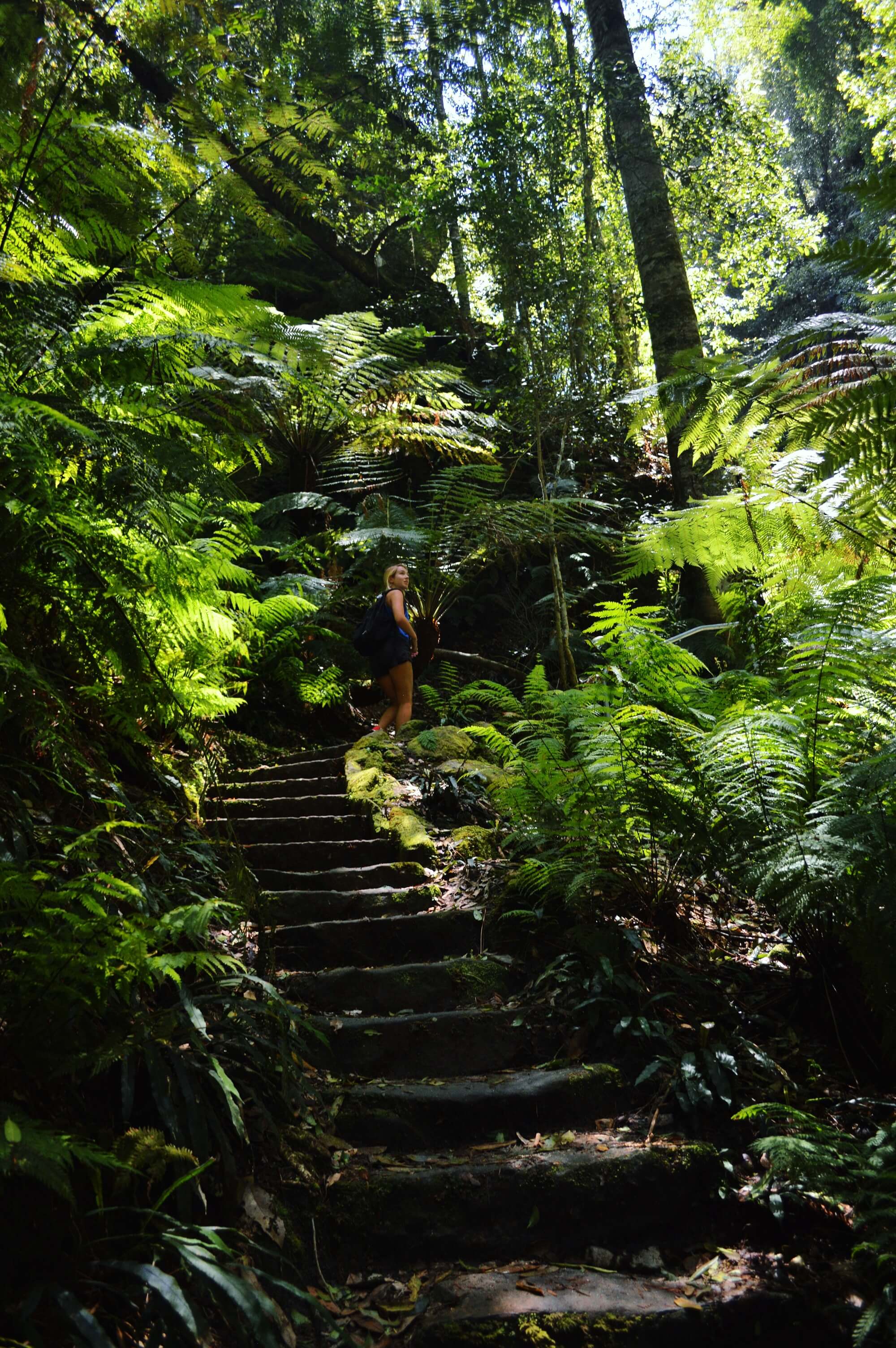
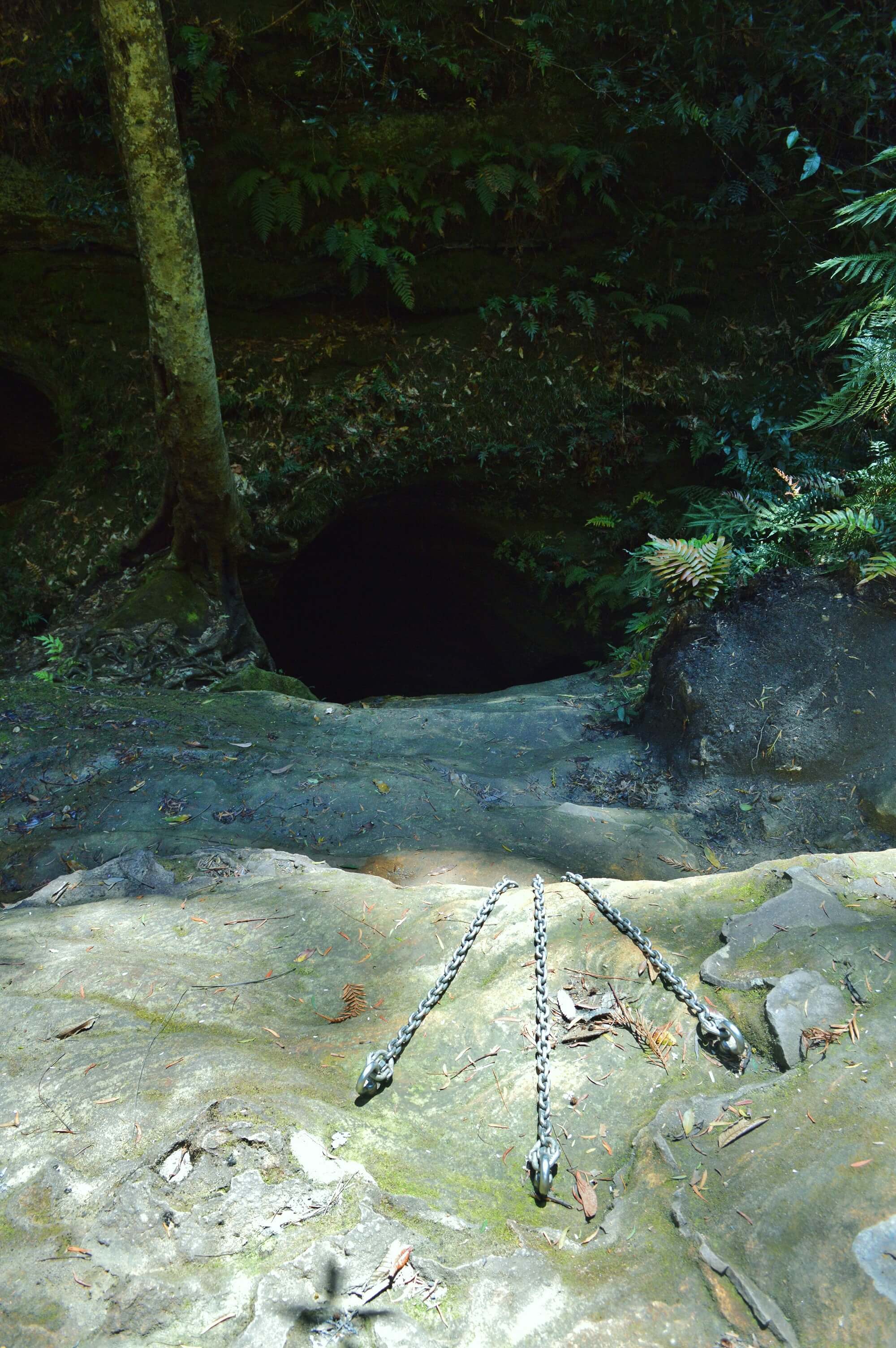
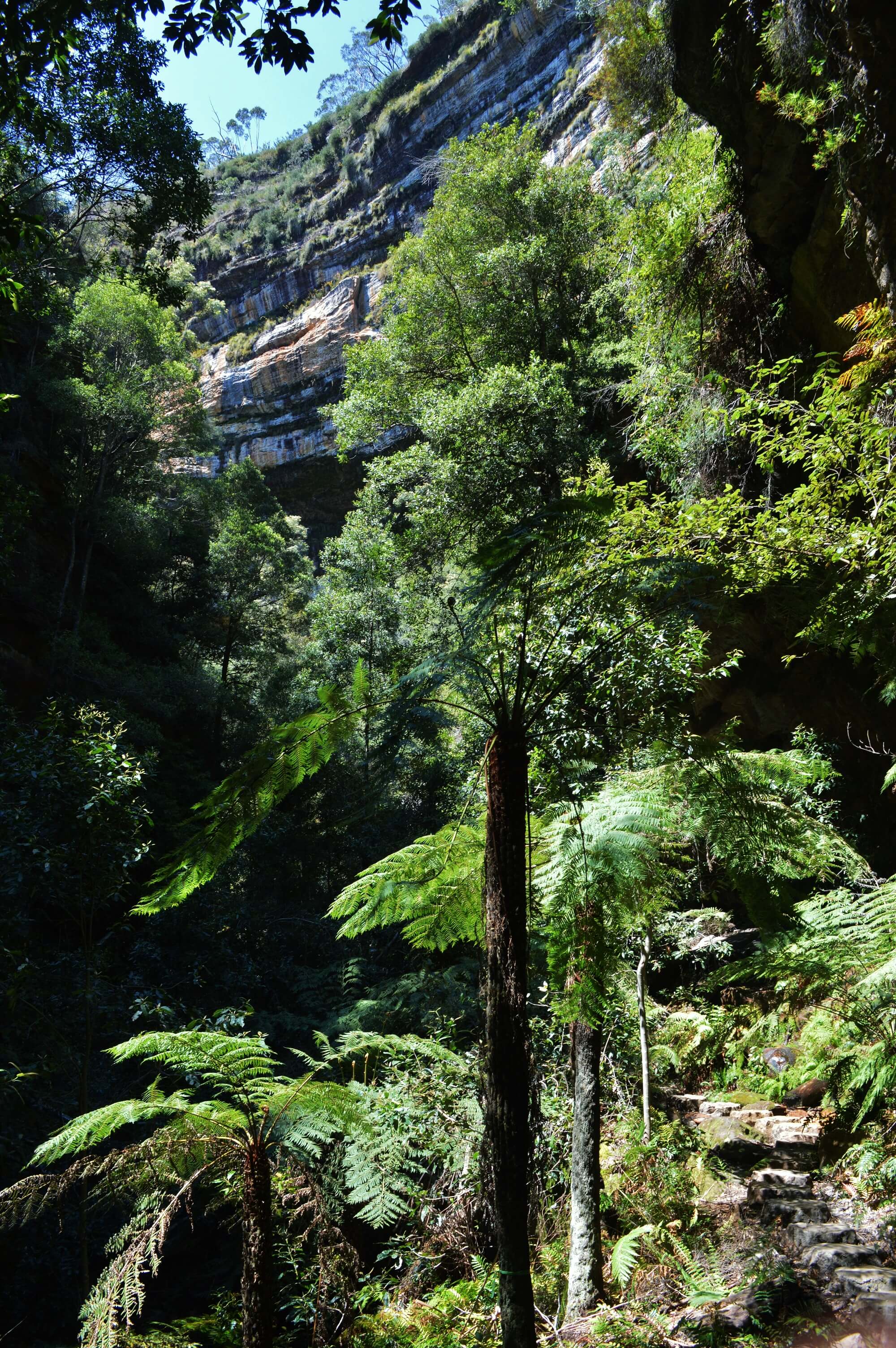
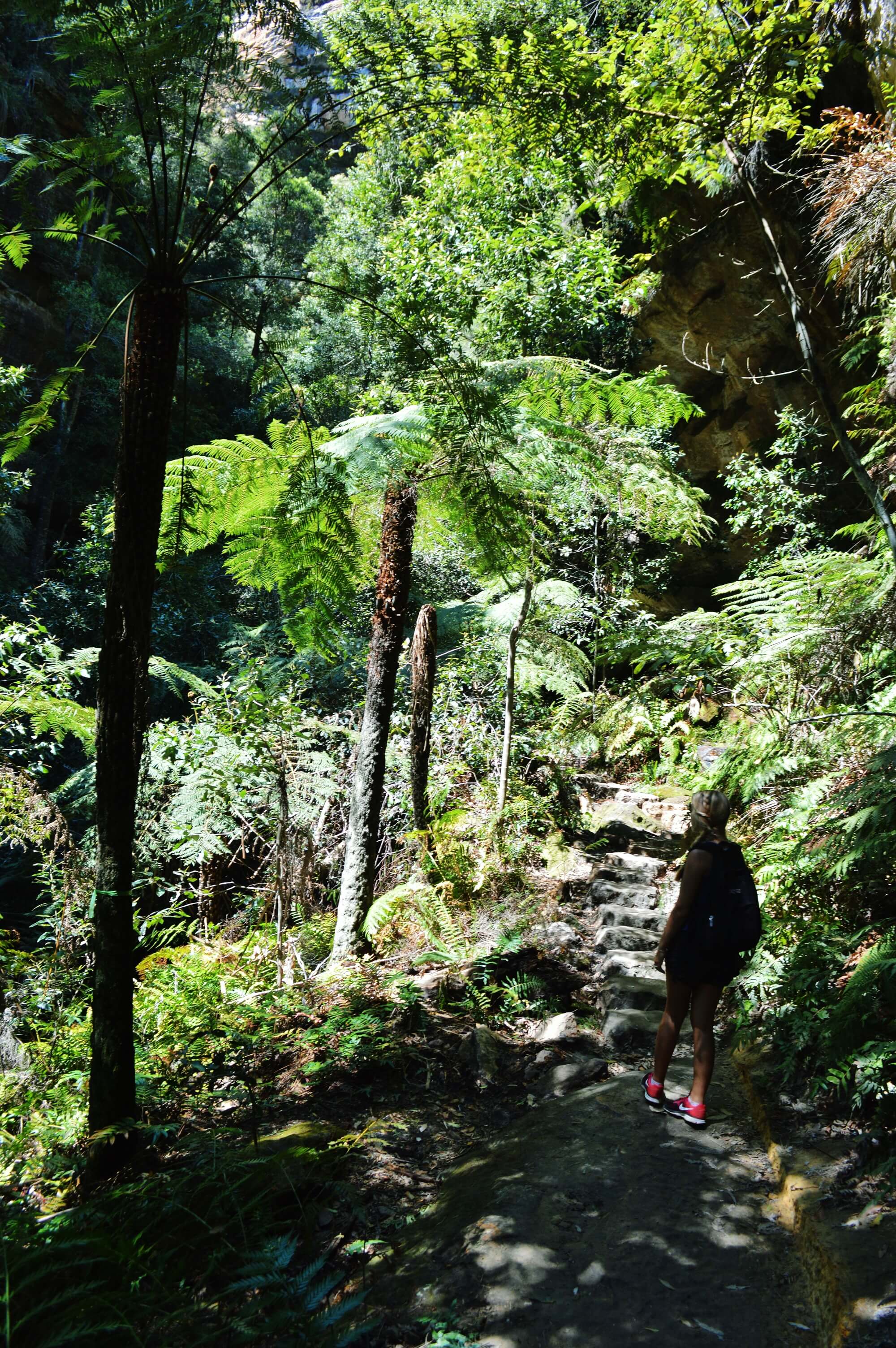
Starting at Blackheath station head along a small road of beautiful country houses before arriving at a fire trail. You pass a small waterfall before heading another kilometre down the dirt track to Neates Glen. From here head down into the canyon zigzagging into the rainforest and the Grand Canyon. The Grand Canyon track follows an impressive halfway ledge above much of the canyon before descending to the canyon floor below. Follow the track past mossy overhangs of rock and a densely vegetated area winding around the side of the canyon. After several switchbacks the track descends very steeply into the top of the beautiful rainforest gully. The track then passes through a small rockfall tunnel before emerging out onto a beautiful waterfall. Follow the track around the canyon walls and underneath the waterfall and continue winding deeper into the canyon. After a kilometer you’ll reach a fence with the sign “abseilers only beyond this point”. This is where you can drop right down into the bottom of the canyon itself. Grand Canyon is a good beginners canyon as it only has a few small 12m drops into water and then a 30m swim out of the canyon.
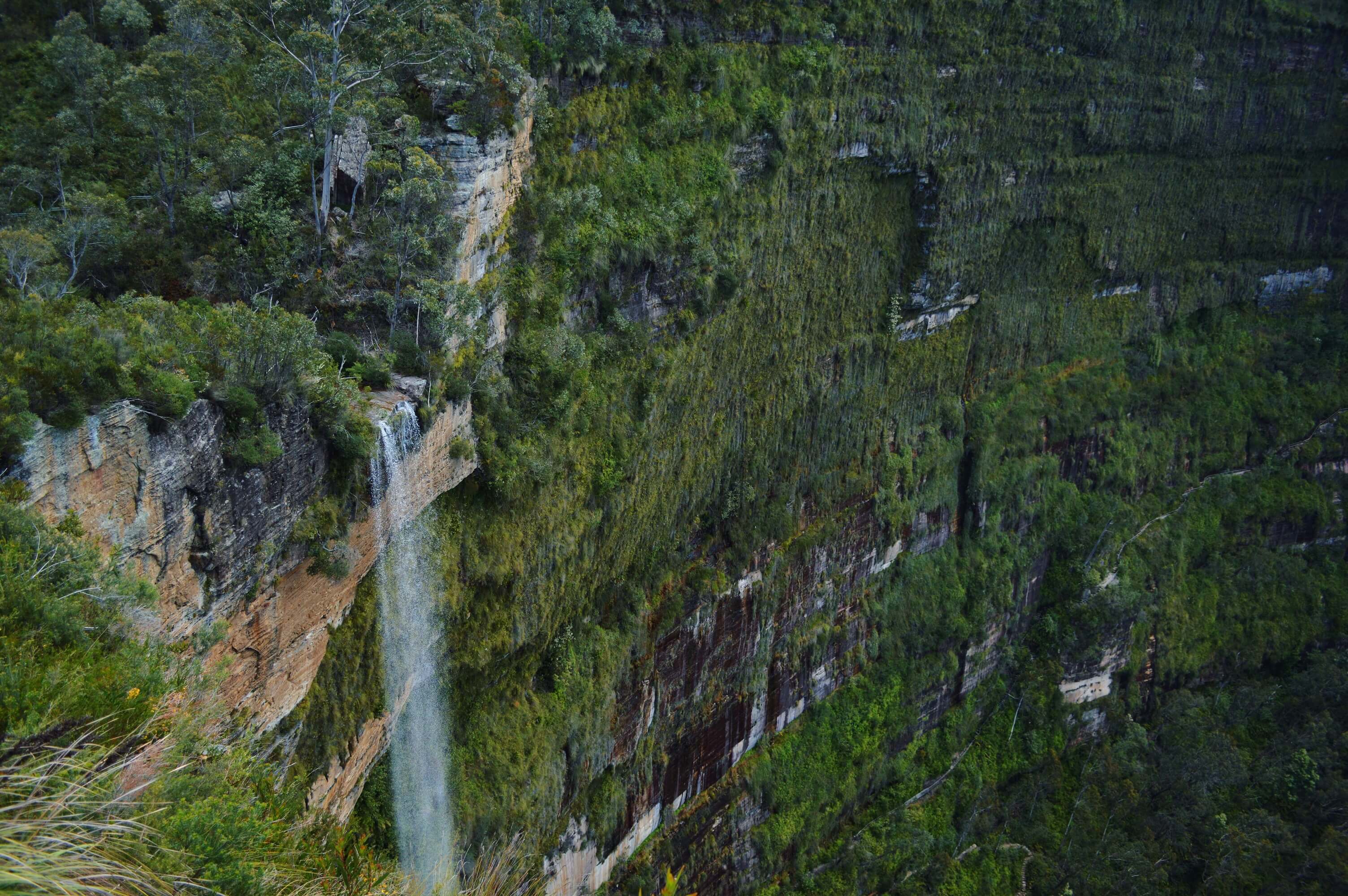
Right at the bottom of the canyon the creek winds through and past a pool where it’s possible to cross and climb up the other side. It’s quite a steep climb up through the gap in the cliff to reach Evan’s Lookout but the view is so worth it; you can see right down into the Grose Valley with its deep gorges, green forest and prominent cliff lines. From the lookout head up the hill towards a stone shelter and then to Haywards Gully where the track undulates around the hillside and then drops into a gully and climbs back out, again with beautiful views down into the Grose Valley. From here it is back down the next valley to Barrow Lookout which looks right over Govetts Leap falls (also known as Bridal Veil falls). Pass over a creek and back up the valley (legs truly dying by this point) where the track winds around the cliff top over another waterfall known as Horseshoe Falls. The falls are sourced by Popes Glen Creek and are named after the shape of the valley in which they drop. From here it is a final 2km uphill climb through dense ferns and prominent rock features back to Blackheath station.
- Track distance
- 4.57 km
- Ascent
- 582 m
- Steepness
- Very steep (127.4 m/km)
- Descent
- 582 m
- Elevation range
- 152–563 m
Map data: © OpenStreetMap contributors, SRTM | Map style: © OpenTopoMap (CC-BY-SA) · MapLibre GL JS
Elevation profile
Sign in to share recent conditions, contribute a photo, or upload a GPX/GeoJSON route.
 Katoomba, NSW


Walk reviews
No reviews yet.
Sign in to leave a review for this walk.
Recent reviews
No written reviews yet. Be the first to share your experience.