



Bungonia Slot Canyon – The Red Track
Current trail weather
7° Overcast
- Today 24° 7°
- Sat 24° 12° 90%
- Sun 26° 11° 2%
- Mon 28° 13° 27%
- Tue 16° 9° 63%
Details
You know it’s a good one when it’s said to take 5 hours to walk only 3.8km. Do not under-estimate this hike. It’s seriously amazing but seriously tough. There are huge ascents and descents and once in the canyon there are no track markers. There is also a danger of flash flooding and the whole area has a rock fall danger associated with the quarry blasting above. This is usually at 3.10pm on weekdays and there are warning sirens which precede the blasting so stay aware.
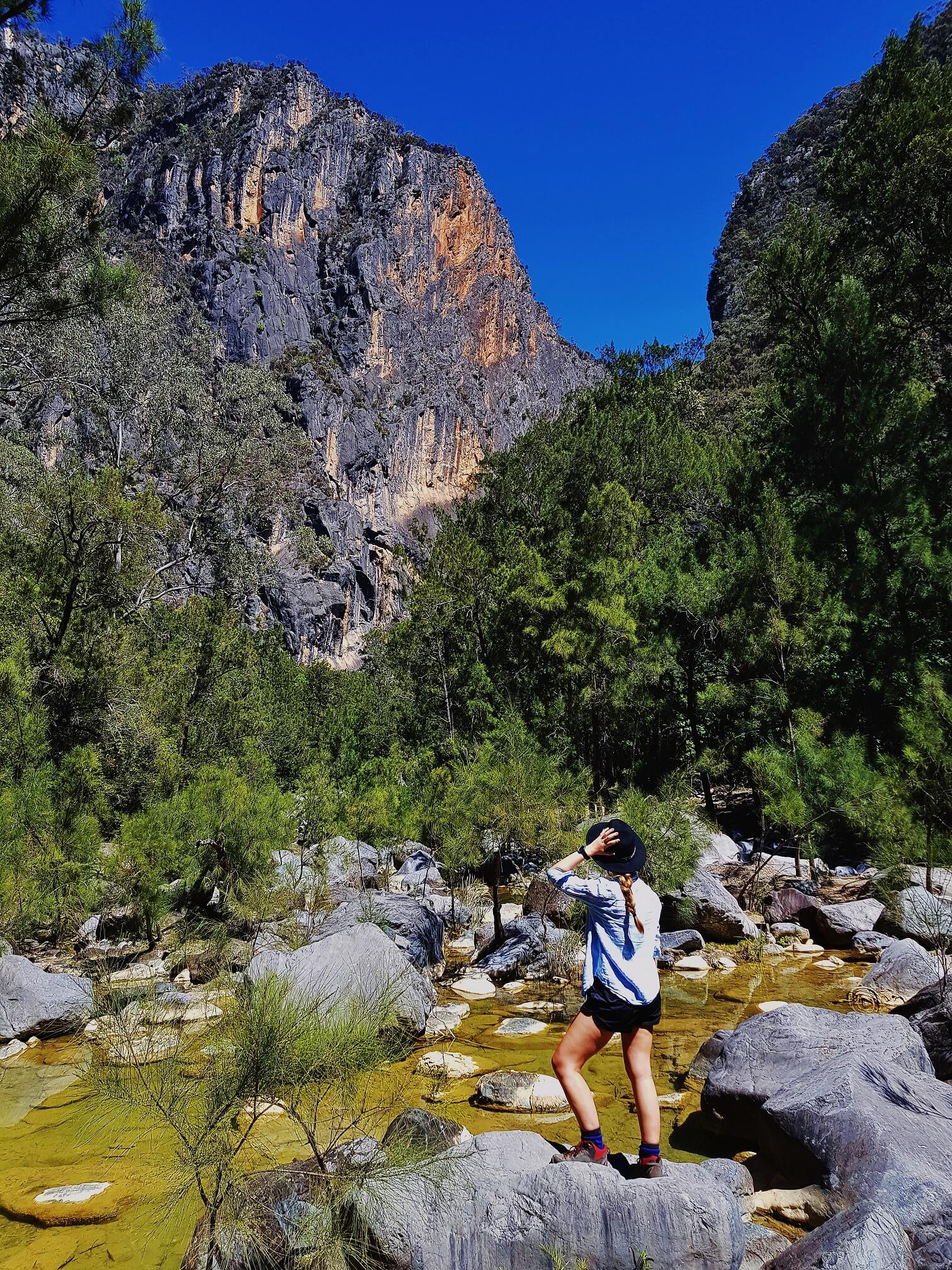
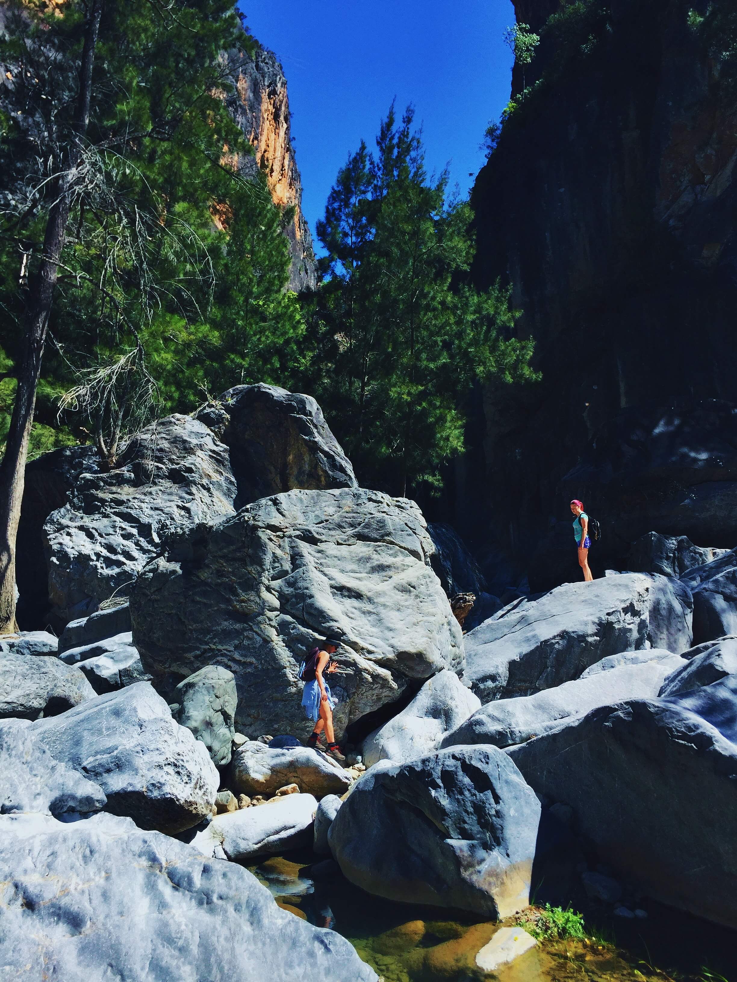
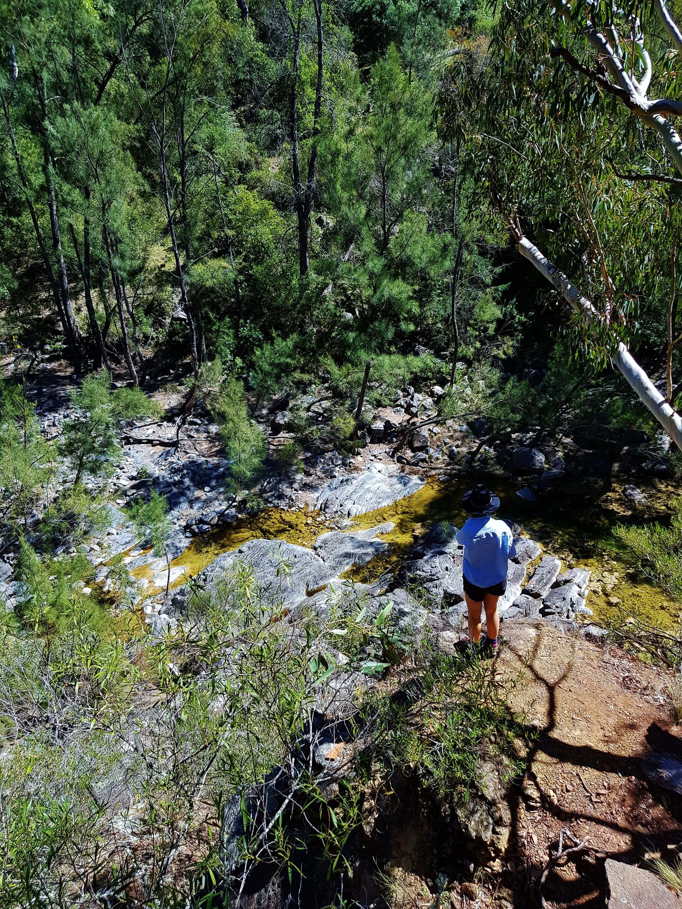
Start at the William Mitchell car park. The track can be walked both clockwise and anti-clockwise. Although clockwise is recommended, the descent that way round is extremely steep so we chose to take the track anti-clockwise to save our knees. Don’t be fooled – the other descent is still very steep and you will get jelly legs by the bottom. The tracks initial descent is a reasonably defined shale trail. Once reaching the bottom of the canyon turn left and follow the creek along the bank. The bank slowly disappears and the rock hopping begins! There are absolutely no markers from this point so continue following the creek down, and soon you’ll reach some giant limestone boulders. Make your own adventure at this point – there is no right or wrong way – and a lot of trial and error trying to navigate around these boulders. Again, keep straight. It took about an hour for us to make our way through the boulders. And watch out for the giant Goannas which inhabit this area!
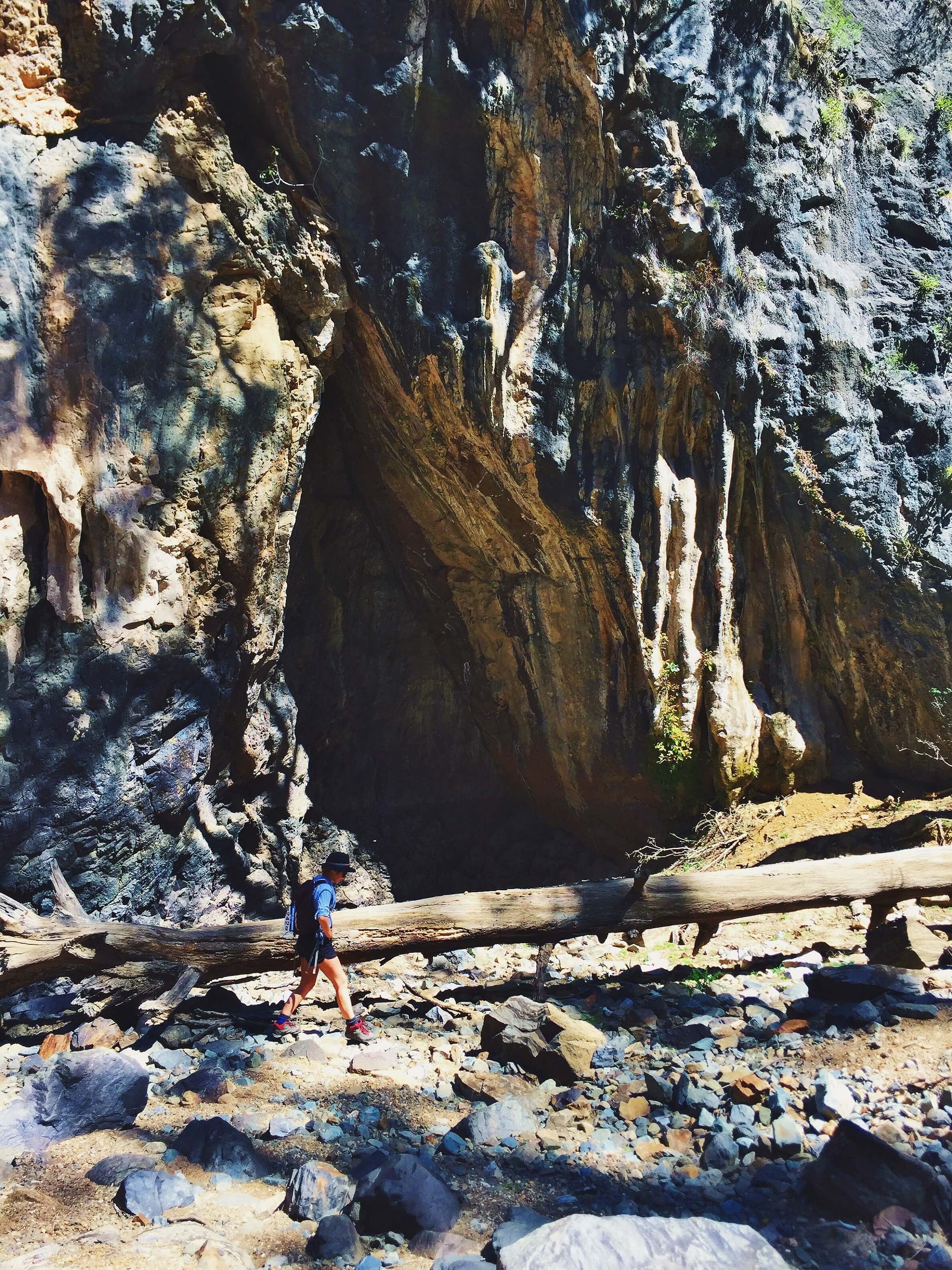
Once through the boulders, you reach the Gorge floor, a mix of sand and rocks which have fallen. This is the main quarry blasting area so listen out for the sirens. It is also a popular rock climbing route so be aware of any climbers above you who may dislodge rocks. The gorge continues winding up the valley and gradually gets wider. Look out for the exit, it is only marked by a tiny red square on the left hand side of the rock. If you get to the big knocked over tree trunk and mini cave you’ve gone too far.
This is where the pain starts. The next 45mins are a vertical climb, hands over feet, grabbing onto whatever you can. It was very dry when we were there and the loose dirt did not help with grip. Although the track is infrequently marked here we managed to lose the trail as it is not an obvious one. By scrambling vertically up the cliff face we managed to rejoin it nearly at the top before it meanders its way back to the car park.
Make sure you check out the nearby lookout to appreciate just how far you’ve climbed.
- Track distance
- 4.57 km
- Ascent
- 582 m
- Steepness
- Very steep (127.4 m/km)
- Descent
- 582 m
- Elevation range
- 152–563 m
Map data: © OpenStreetMap contributors, SRTM | Map style: © OpenTopoMap (CC-BY-SA) · MapLibre GL JS
Elevation profile
Sign in to share recent conditions, contribute a photo, or upload a GPX/GeoJSON route.
 Jervis bay, NSW


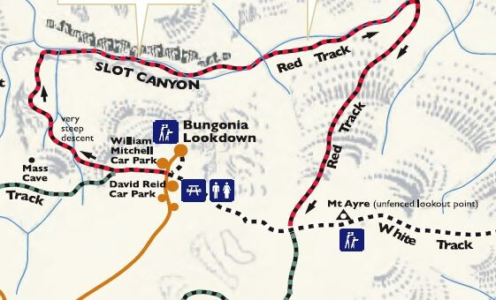


Do you happen to have any information on how to get to the Bungonia Slot Track. This track goes on top of the cliff along the slot canyon, different to the red track
Hey Edgar, afraid not! Only even done the Red Track in Bungonia.
The slot track is the red track.
car wrecker
The exit is marked by a large, metal sign, past the two trees with red markers on them. The metal sign is around 2 x 2 feet wide. The exit trail is very steep, but very obvious, up the ridge line. If you were grabbing grass clumps, you ascended too early. We did that the first time – scary!
Would have enjoyed this track as we were fully prepared and had great weather. We took the clockwise route and unfortunately had to turn back after scrambling over the boulders looking for a way through. Would be helpful if NPWS or other hikers could mark the trail through there as there are no obvious signs of a defined passage through the boulders. It’s fait to say that most of the track is poorly signposted. Very disappointing.
GeoffB – it’s probably not possible to mark the track, because the house sized boulders move when the rain comes.
I’ve done it twice, and the only option is to find your own way through, over or around.