




Blue Gum Loop Track
Current trail weather
20° Drizzle
- Today 28° 15° 68%
- Sun 26° 14° 31%
- Mon 31° 15° 29%
- Tue 23° 14° 100%
- Wed 15° 11° 90%
Details


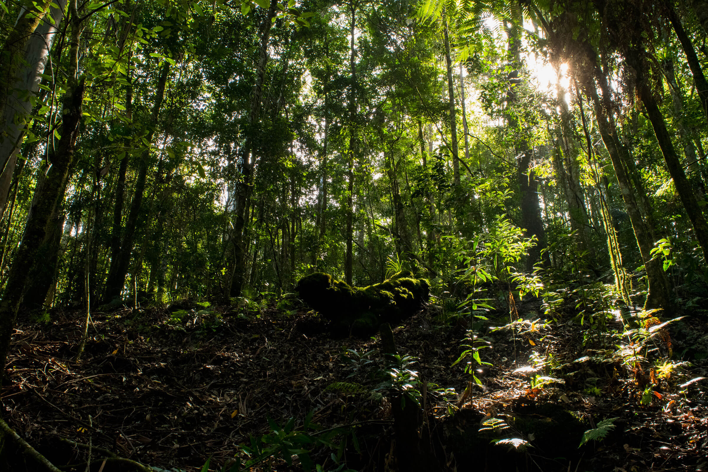
The Blue Gum loop Track nested in the Barrington Tops National park, is a tranquil rain forest walk. The bush walk is an easy walk with no major hills and a well maintained path. On a hot day there are plenty of stops to have a swim by the track. The flowing water combined with the rocky river bed, keep the water clean and clean. The water has a distinct blue tinge to it from the minerals in the rocks is passes.
Starting the Blue Gum loop
The Loop track starts at the picnic area as pinned on the map, with space to park. As it’s a loop, you can start the walk in either direction, but we chose to go to the right, facing the picnic area from the car park. There are signs posted and maps on display of the loop in the picnic area.
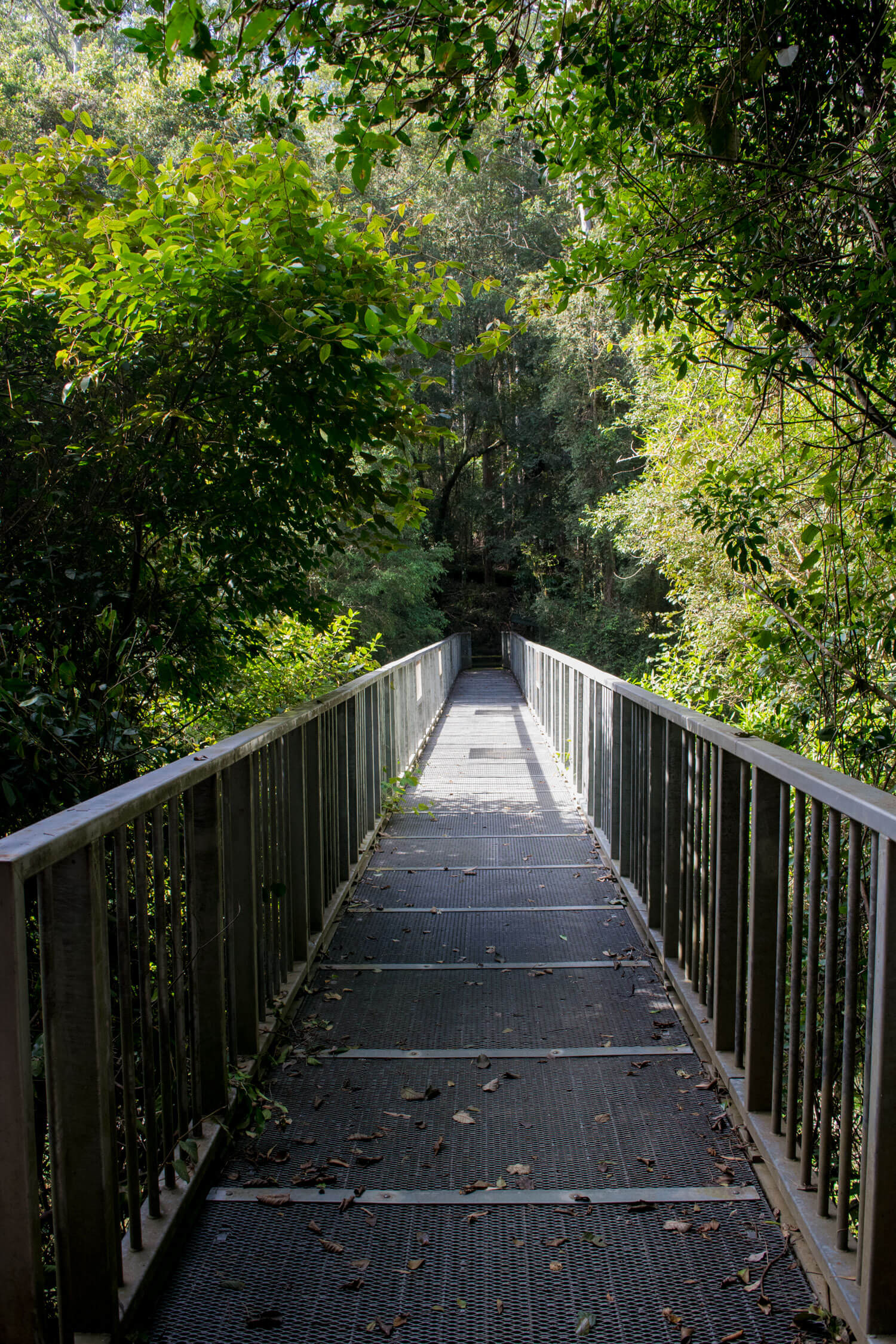
Along the blue gum loop you are bound to come across some wild life, notably the brush turkey and lyrebird, famous for it’s noise mimicking abilities. The bridges above the river are an awesome spot for a lookout.
Swimming at the blue gum loop
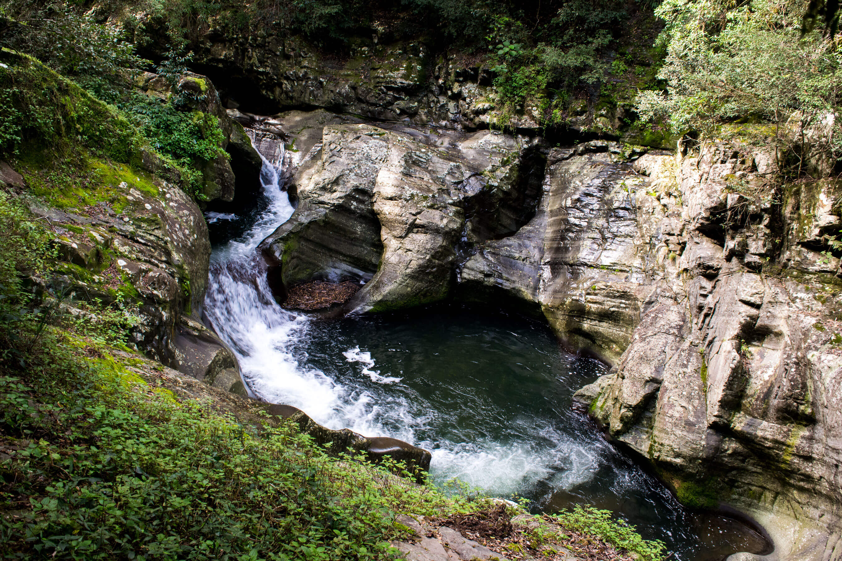
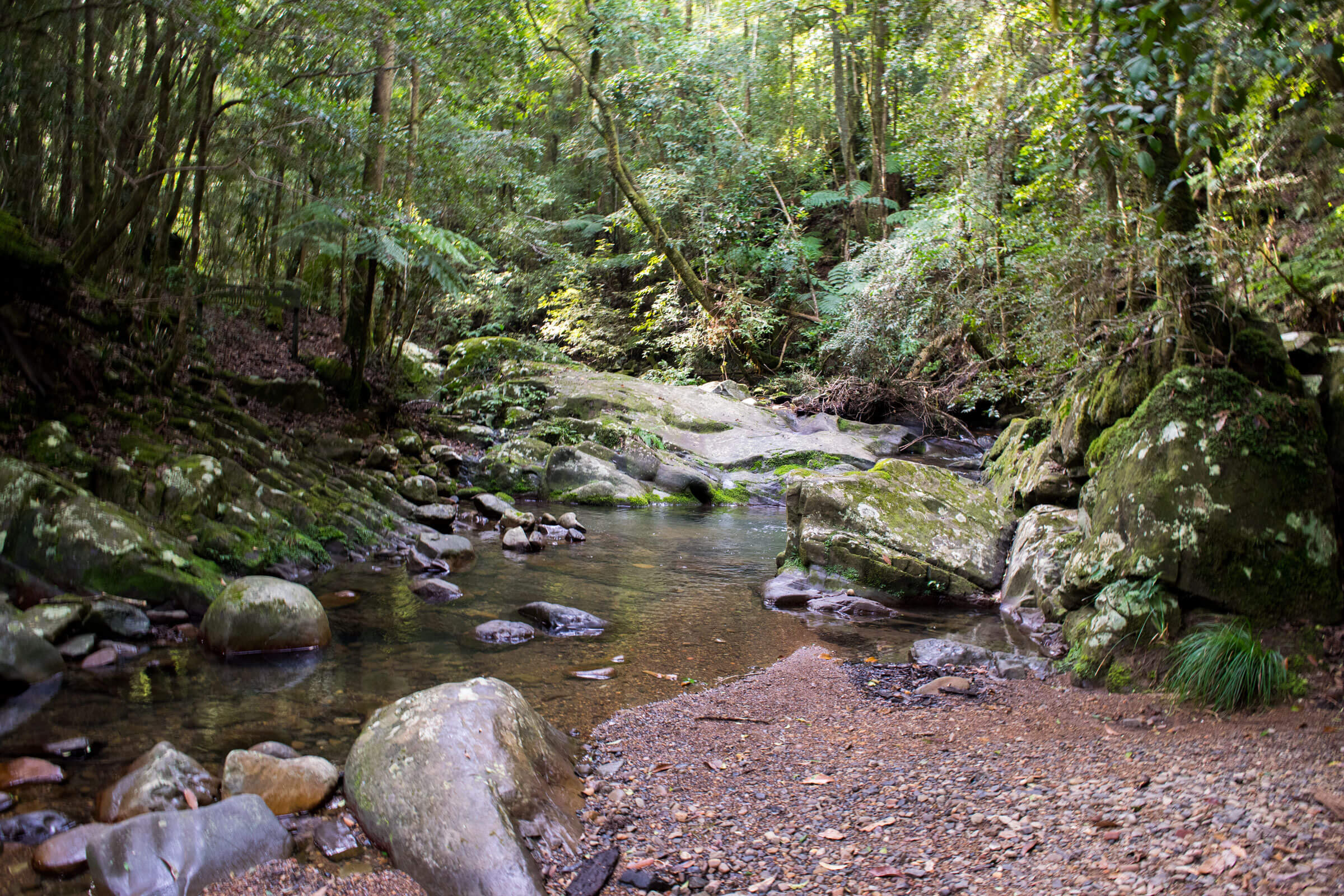
There are plenty of swimming opportunities along the track, notably fern tree creek. About 2 thirds of the way though the walk you will see signs posted for fern tree creek. It is a 40 metre walk off the track, it makes for a great spot for a break. Shortly after along the track there is a sign posted for a swimming pool, this is the better of the two spots, as the water here is deeper and wider. Some other areas like the feature photo for this walk are not suitable for swimming due to the torrent of water flowing through. Added to this, you should be careful around the edges of this part of the river.
- Track distance
- 3.78 km
- Ascent
- 205 m
- Steepness
- Moderate (54.2 m/km)
- Descent
- 205 m
- Elevation range
- 325–389 m
Map data: © OpenStreetMap contributors, SRTM | Map style: © OpenTopoMap (CC-BY-SA) · MapLibre GL JS
Elevation profile
Sign in to share recent conditions, contribute a photo, or upload a GPX/GeoJSON route.
 Jervis bay, NSW




Walk reviews
No reviews yet.
Sign in to leave a review for this walk.
Recent reviews
No written reviews yet. Be the first to share your experience.