





Belmore Falls
Current trail weather
14° Clear sky
- Today 23° 5°
- Sat 24° 11° 94%
- Sun 23° 12° 6%
- Mon 27° 13° 29%
- Tue 15° 10° 78%
Details

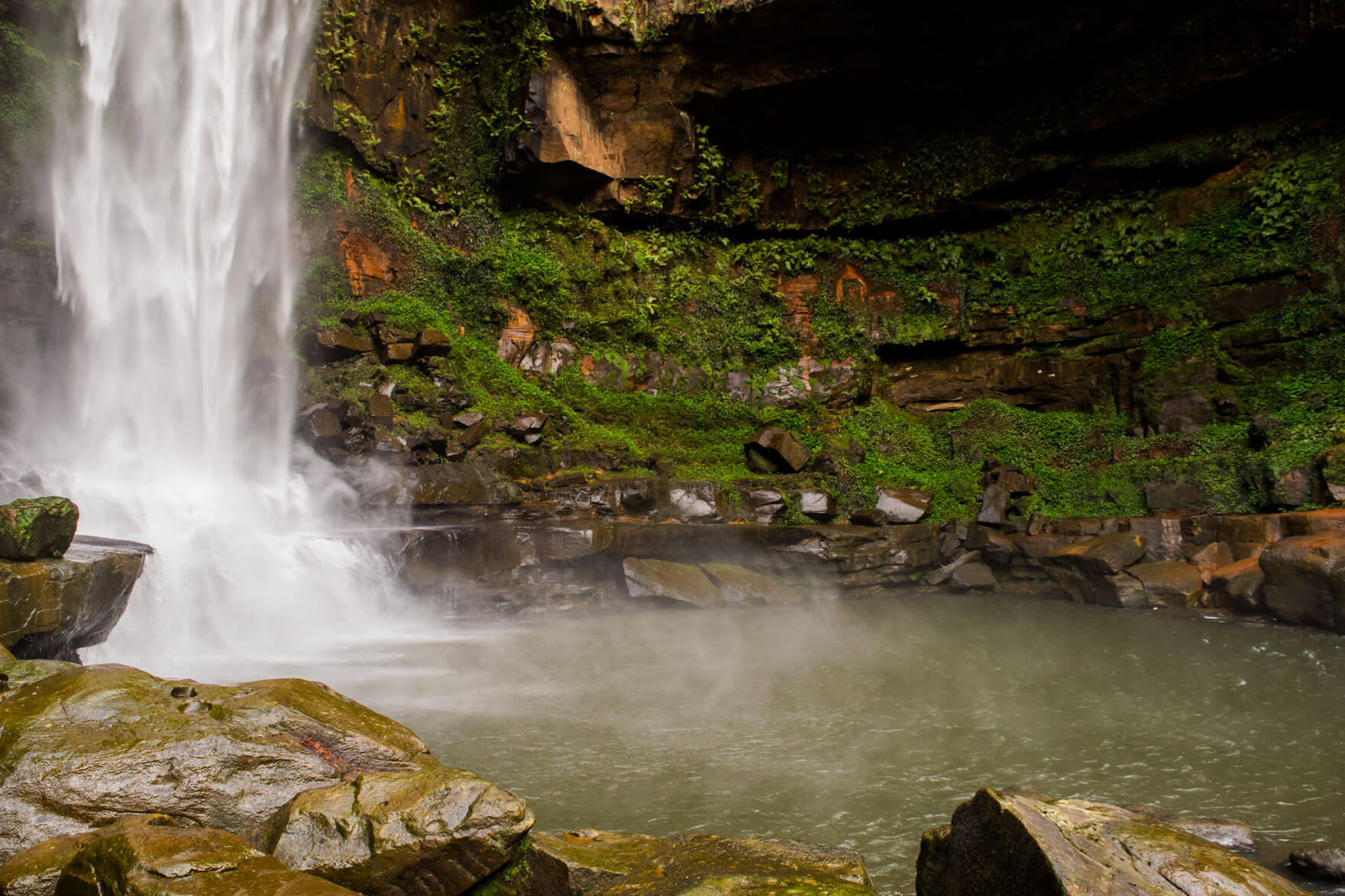
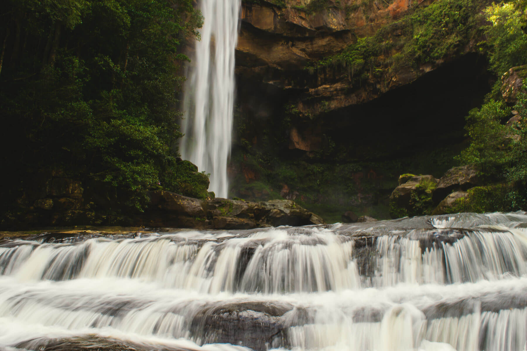
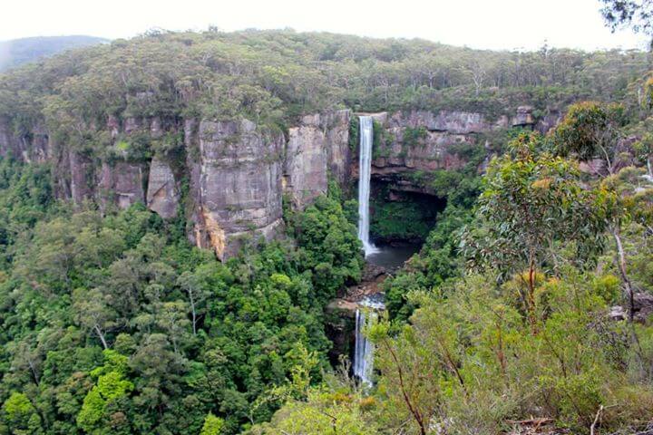
Belmore Falls is located 9km out of Robertson and 2 hours south of Sydney, there are two lookout points at about 50m and 200m from the car park, the second of the two gives you a higher less obstructed view of the falls, the featured image of this walk from taken from that spot. It’s recommended that you visit these falls just after some rain to really take in most of the stunning falls.
The area is well maintained with a toilet facility and rest area where you can stop and have a picnic-packed lunch. There is plenty of parking at this location as there isn’t a high volume of traffic. The road is unsealed but is still suitable for small cars, just be advised to drive slowly. The town of Robertson itself also offers many great places to eat if you forgot to pack something and has plenty more walks in the area on offer. You can read all about the Southern Highlands walks in the region here.
You can explore the ring track from the first car park, which will take you to the top of the falls where there is a viewing platform. There are some stairs to get to this spot but it’s a rather easy walk and is fenced the entire way. You can get right on top of the falls and take a look at the view below of the pools where you will sometimes see locals swimming if you follow the track all the way around. Sometimes if there has been heavy rain and flooding, you are unable to access this viewing platform due to the risk of being swept away.
You can get down to the falls themselves, for information as to how, please see here. (Please note the way to the bottom does involve risks and is no longer an official track by National Parks)
- Track distance
- 0.95 km
- Ascent
- 150 m
- Steepness
- Very steep (157.9 m/km)
- Descent
- 150 m
- Elevation range
- 544–603 m
Map data: © OpenStreetMap contributors, SRTM | Map style: © OpenTopoMap (CC-BY-SA) · MapLibre GL JS
Elevation profile
Sign in to share recent conditions, contribute a photo, or upload a GPX/GeoJSON route.
 Jervis bay, NSW


Walk reviews
No reviews yet.
Sign in to leave a review for this walk.
Recent reviews
No written reviews yet. Be the first to share your experience.