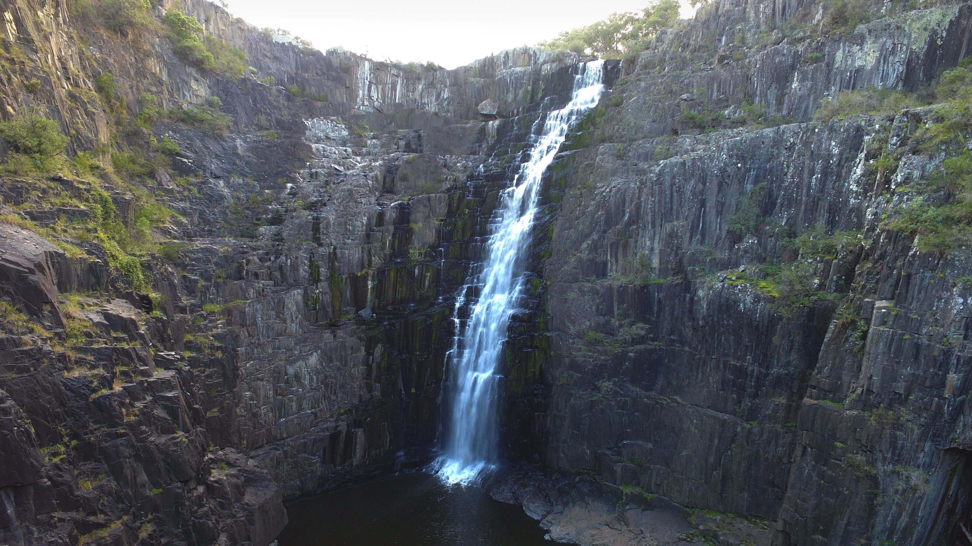





Apsley Falls
Current trail weather
8° Light drizzle
- Today 13° 7° 89%
- Sat 14° 8° 63%
- Sun 15° 7° 91%
- Mon 17° 7° 96%
- Tue 19° 9° 84%
Details

Getting to Apsley Falls
Apsley falls is found just off of the Oxley Highway in the Nothern Tablelands of NSW. The carpark can be found on Apsley Falls Rd with a few different sections to park depending on the walk you want to do and where you want to start. There are camping options available here and also BBQ facilities if you plan to make a full day trip to these falls.
Lower Falls Lookout of Apsley Falls (Oxley Walk)
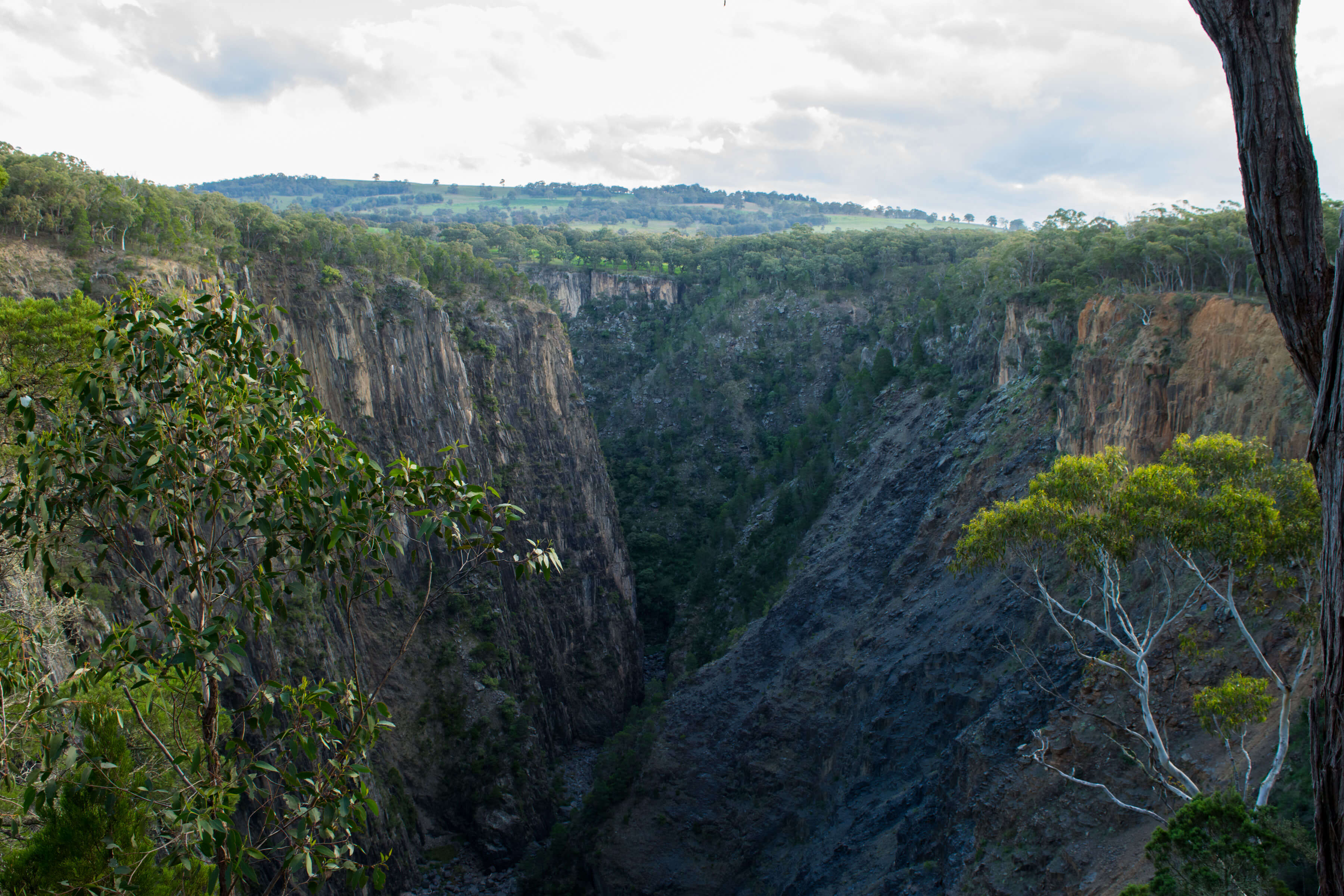
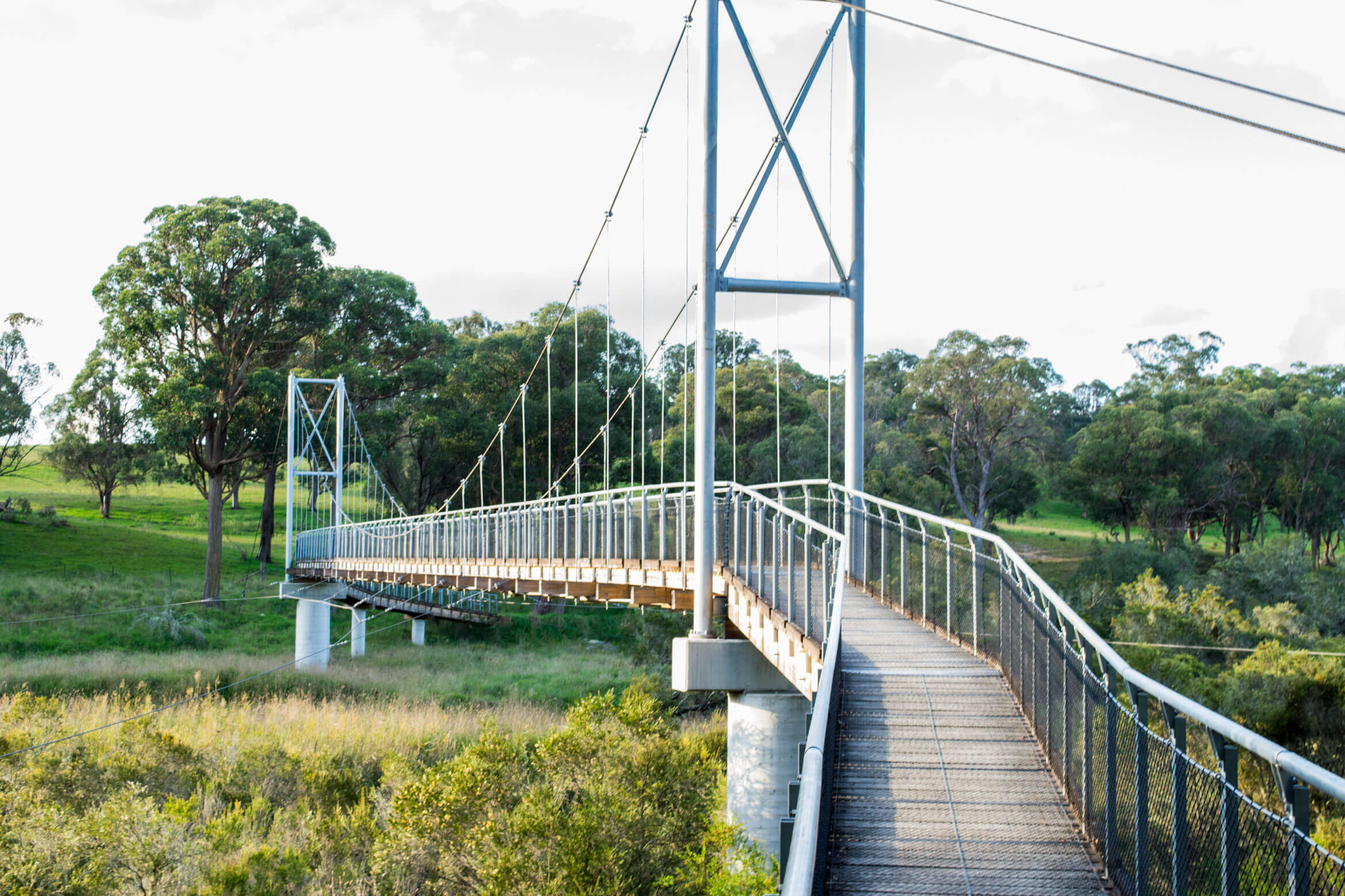
This walk is the longest one available that will lead you to a viewing platform which overlooks the lower levels of the falls. Parking in the middle carpark near the information boards as you drive in would be the best starting point for this walk. It will take you over the suspension bridge to the other side of the lookout. Here you can follow the rim of the walks and view the gorge, the main falls, and the lower falls.
Gorge Rim Walk – Apsley Falls
This is an easy loop walk which takes only around 1 hour to complete. It allows for you to get a better glimpse of the main falls where you can truly observe where the steps once stood that lead down to the water. Unfortunately, rather than repair the steps or find ways to make them safer, they were decommissioned like most walks in the National Parks. There is now no safe way to enter the water, so attempting to get to the bottom is not recommended. This walk also offers nice viewing platforms of the landslide just a short distance from the main falls.
This spot offers history and beauty. It’s family friendly and also offers sections of the walk that are wheelchair friendly. Be sure to check it out, especially if you are headed to waterfall way.
- Track distance
- 1.12 km
- Ascent
- 50 m
- Steepness
- Moderate (44.6 m/km)
- Descent
- 50 m
- Elevation range
- 976–1014 m
Map data: © OpenStreetMap contributors, SRTM | Map style: © OpenTopoMap (CC-BY-SA) · MapLibre GL JS
Elevation profile
Sign in to share recent conditions, contribute a photo, or upload a GPX/GeoJSON route.
 Jervis bay, NSW


Walk reviews
4.0 from 2 reviews
Sign in to leave a review for this walk.
Recent reviews
No written reviews yet. Be the first to share your experience.