




Anvil Rock
Current trail weather
11° Light drizzle
- Today 13° 11° 100%
- Fri 19° 11° 96%
- Sat 23° 11° 86%
- Sun 24° 14° 80%
- Mon 18° 4° 88%
Details
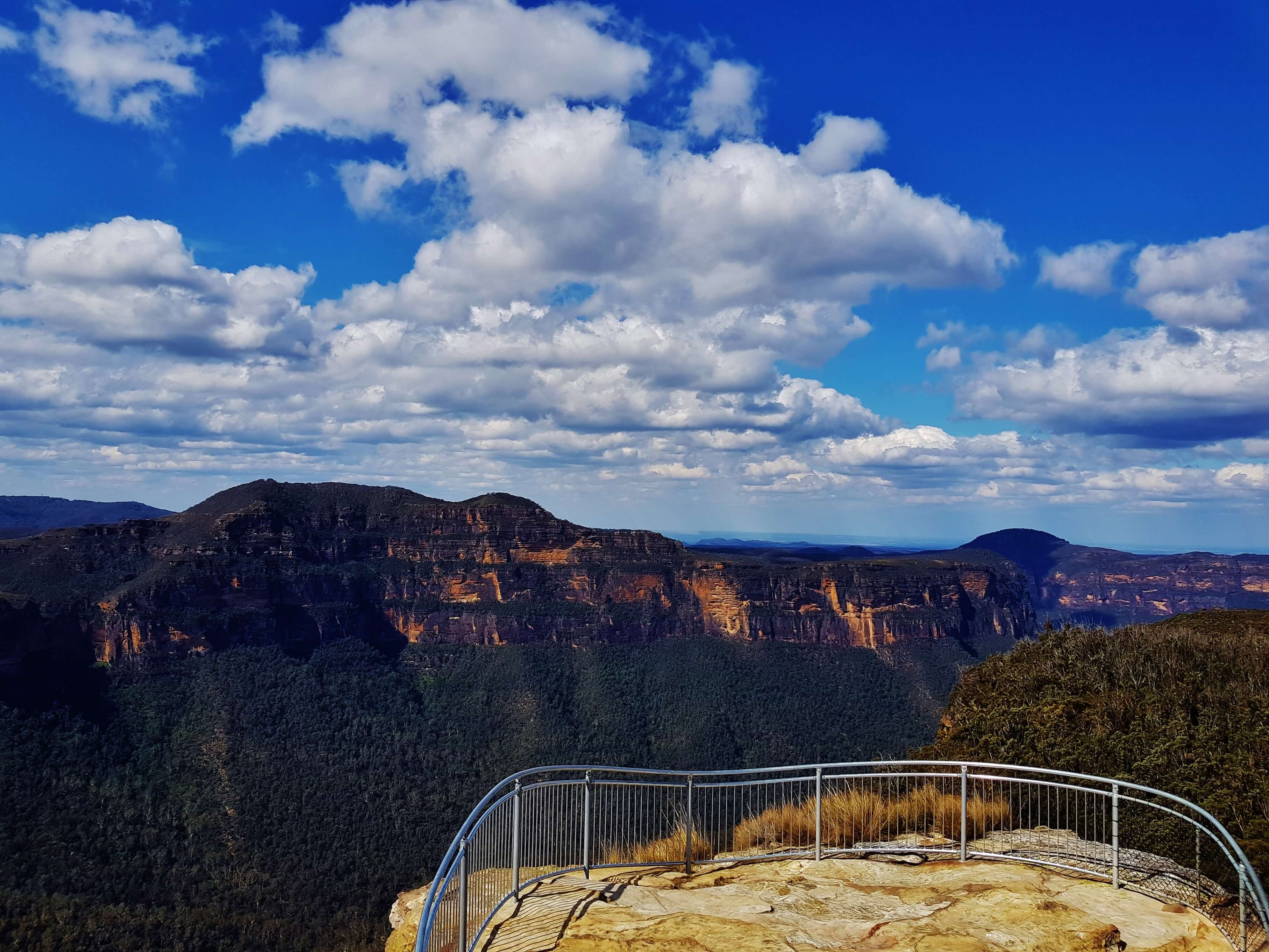
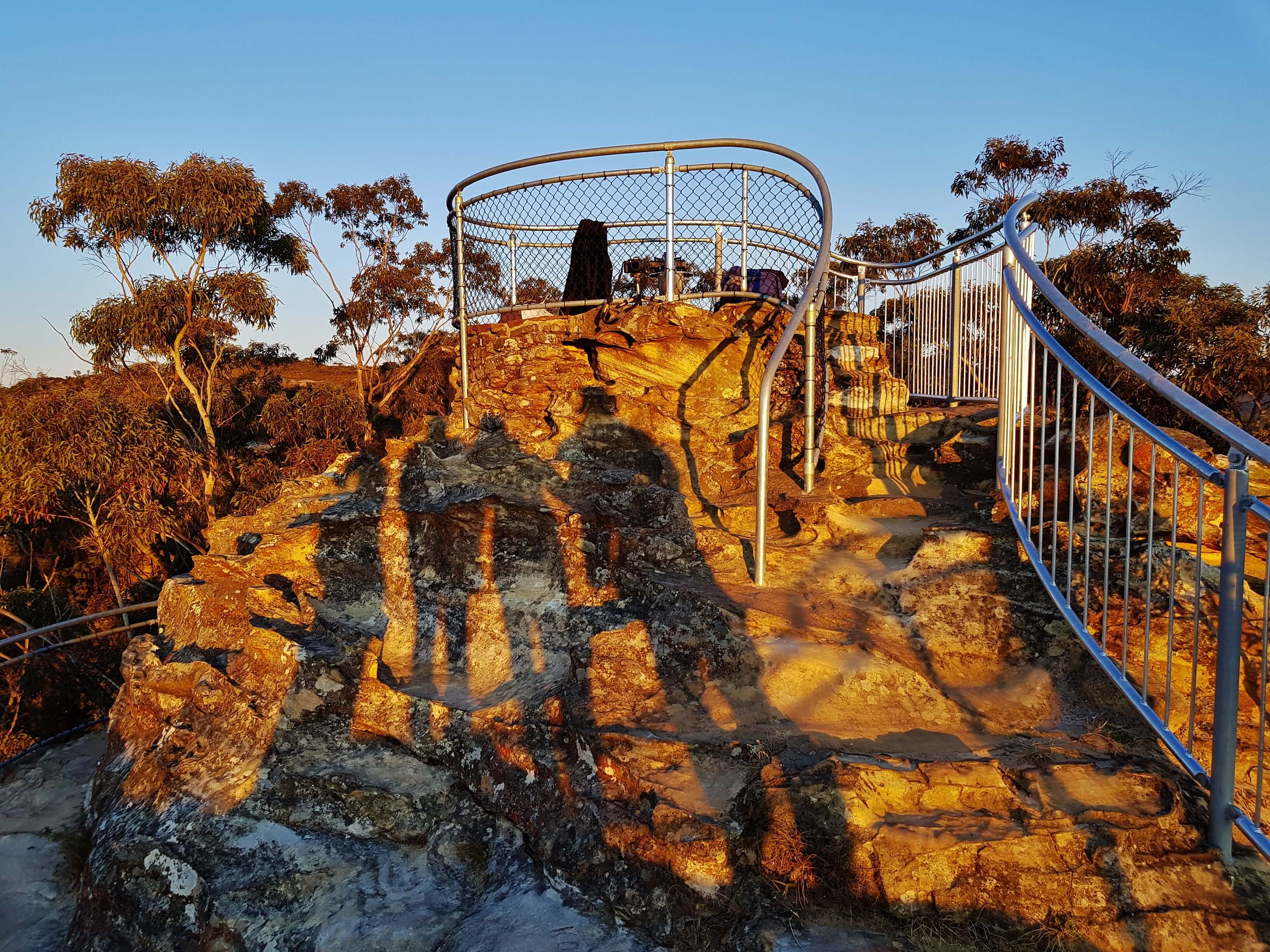
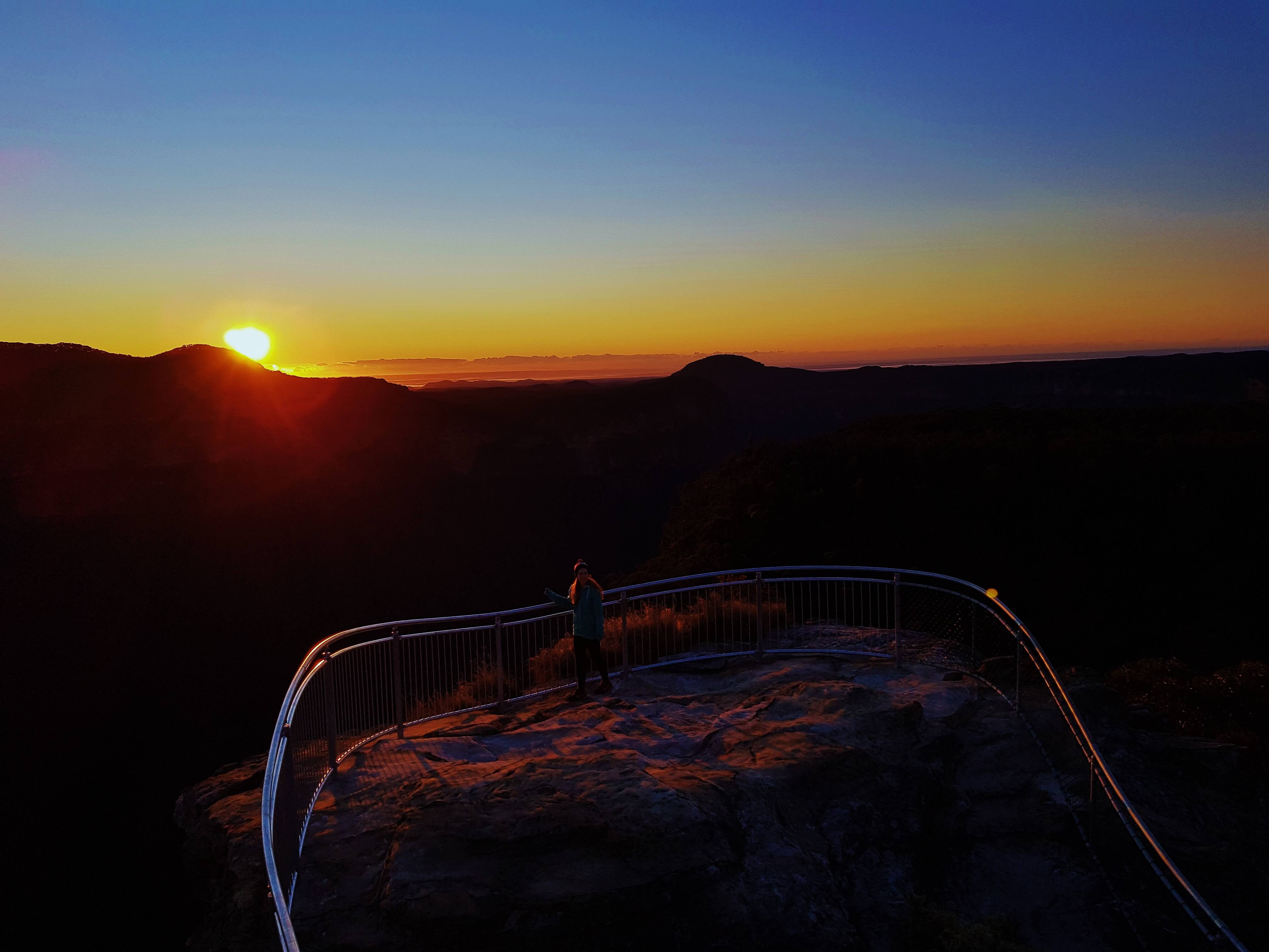
This is a short one but a good one. Just a quick 10 minute hike gets you to the top of Anvil Rock from which you’ll enjoy incredible views alone, as this lookout seems to have been mostly forgotten by others. The walk starts at the carpark at the end of Hat Hill Road (8km unsealed but is navigable by 2WD) and heads up a very well defined trail for approximately 0.5km through native flora, before reaching the top of the escarpment. There is a bench positioned on the left as mini lookout, but if you keep going you will quickly reach some large carved rock steps which lead to the top of the rock (named as it resembles the shape of an anvil). Here the whole vista opens up revealing great views over the Grose Valley to Mount Banks – on a clear day you can see Sydney 84km away. It’s also absolutely spectacular at sunrise. Camp at nearby Perry’s Campsite and witness the sun come up over Anvil Rock, completely transforming the landscape. As the darkness fades, the escarpments glow with the sun’s first rays as it dances across the rock formations. On top of Anvil Rock there is also an actual anvil with a dial showing direction and distance to recognisable landmarks. It is also a great spot to look out for wedge-tailed eagles. The safety barrier was upgraded in April 2017 so there is a nice new shiny fence to lean against and peek at the mass of Eucalyptus trees in the valley below.
While in the area it is also worth exploring Wind Eroded Cave which is another 10 minute trail in the other direction starting from the car park. It has a huge wave-like overhang, caused (as you’d expect) by wind erosion creating amazing patterns in the sandstone.
- Track distance
- 0.71 km
- Ascent
- 42 m
- Steepness
- Moderate (59.2 m/km)
- Descent
- 42 m
- Elevation range
- 964–983 m
Map data: © OpenStreetMap contributors, SRTM | Map style: © OpenTopoMap (CC-BY-SA) · MapLibre GL JS
Elevation profile
Sign in to share recent conditions, contribute a photo, or upload a GPX/GeoJSON route.
 Jervis bay, NSW


I agree this is one of the most amazing spots to visit and I am lucky to get there often. I much prefer it to any of the Katoomba hotspots or even Govetts Leap and Evans Lookout.
Just a few points to consider. The mini lookout the left as you walk up to Anvil has a very special handmade bench to commemorate local woman Joyce Martin who made it to 94 years. Forever admiring the sunsets from here. If you camp at Perrys Lockdown you won’t see the sunrise over Anvil Rock as it lies to the west. Maybe the sun shines on it, or else you might see Sydney to the east at sunrise.
Apparently the wind eroded cave isa also known as Wave Rock but I haven’t found confirmation of this. I think I’d like to find out that it had an Aboriginal name. So much better than just a description.